South Florida facing possible showers, high heat this weekend
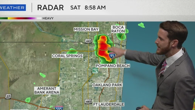
A few rain showers will push through Miami-Dade county starting around noon and lasting through early afternoon on Saturday.
Watch CBS News
A few rain showers will push through Miami-Dade county starting around noon and lasting through early afternoon on Saturday.

After undergoing rapid intensification, Erick made landfall on Mexico's Pacific coast on Thursday as a Category 3 hurricane.
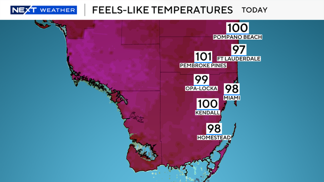
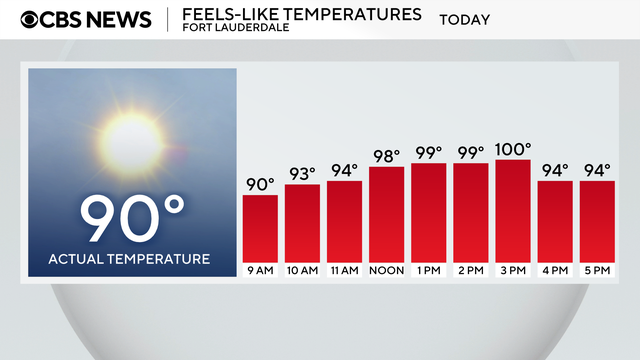
Afternoon temperatures will feel like the upper 90s when the humidity is factored in.
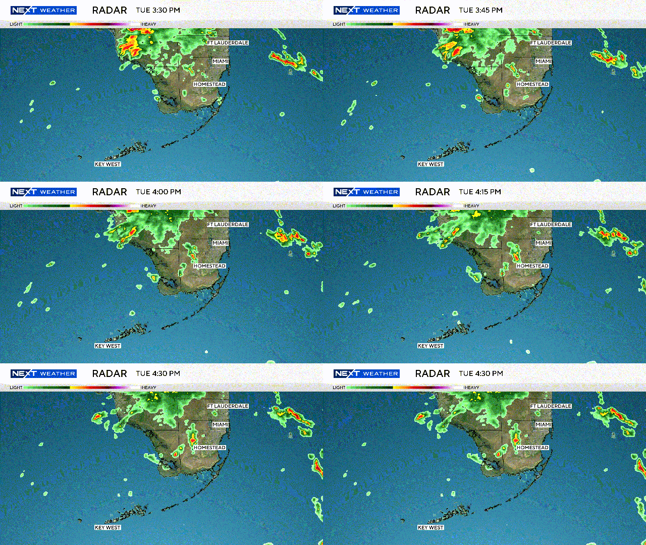
Afternoon shower activity will be inland due to a southeast wind.
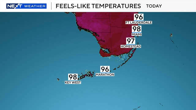
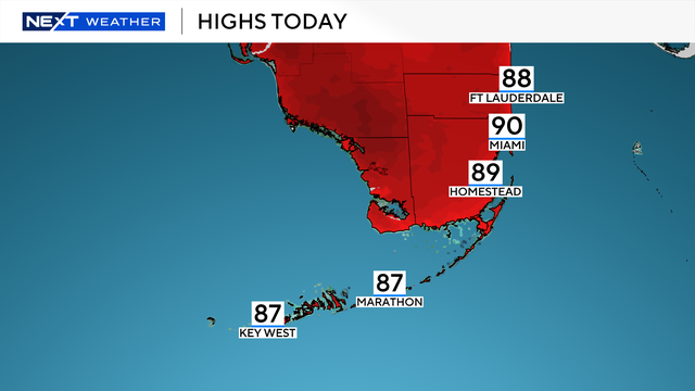
Afternoon highs will be near 90 degrees with "feels like" temps in the upper 90s.
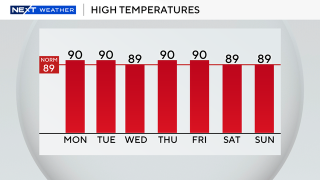
The chance of rain is low for the week.

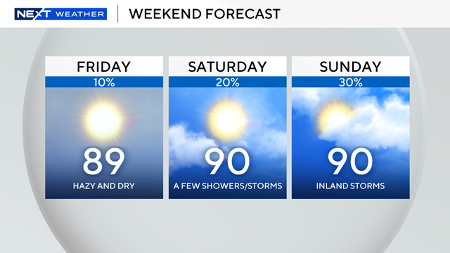
There will be a few pop-up showers early Sunday morning
Despite this being near-average, it will still feel like summer with "feels like" temperatures in the mid to upper 90s.
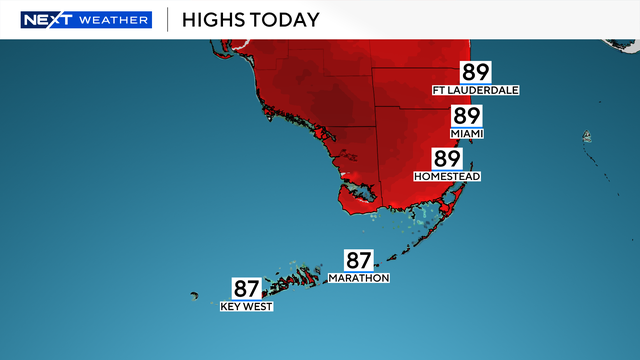
Friday afternoon, temperatures will climb into the upper 80s, but it will feel like the upper 90s and 100s when you factor in the humidity.
A few showers work through the area in the morning before heavier showers and storms develop inland each day.
The NEXT Weather team says weather models are trending wetter, raising concerns about a one-to two-day rain event.
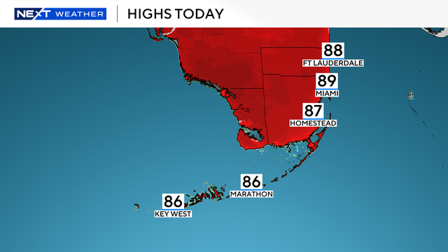
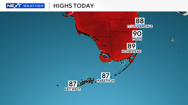
The combination of rain and clouds should help to keep temperatures in the mid to upper 80s.
The highest chance of rain will be on Wednesday.
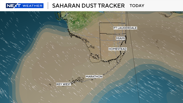
Saharan dust will gradually thin out today but rain chances remain low with only a few storms expected over the inland areas this afternoon.
There is a 10% isolated inland afternoon shower chance on Saturday.
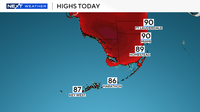
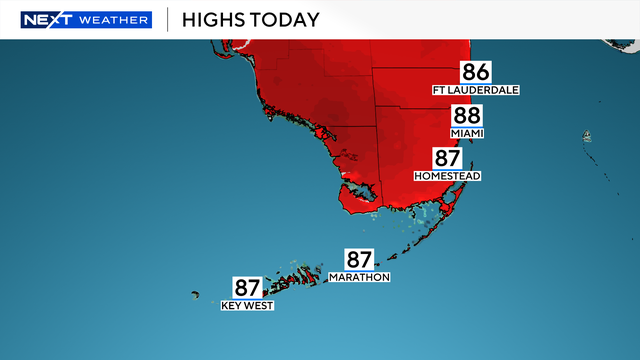
Afternoon highs will be seasonable, in the upper 80s to lower 90s.
NEXT Weather meteorologist Lissette Gonzalez says Saharan dust is bringing drier air and lowering the chance of rain. It's also leading to some hazy conditions.
Wednesday will be a transitional day as the wet weather will not be as intense nor as widespread as it was earlier this week.
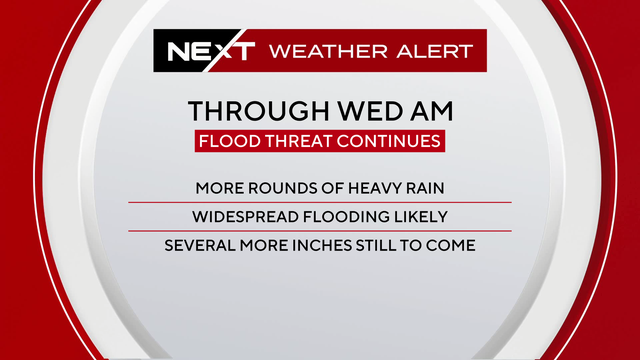
Miami-Dade, Broward and Monroe counties are under a flood watch through Wednesday morning.

The plume is forecast to move northwest and reach Florida mid-week, then hit other states including Georgia, the Carolinas, Texas and Louisiana by Friday, radar shows.
The 2025 Atlantic hurricane season begins during a tumultuous period at the National Weather Service, following significant cuts at the country's forecasting agency.
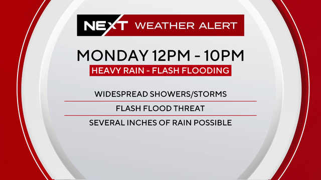
The NEXT Weather Team has issued a NEXT Weather Alert through Tuesday due to the potential for flooding in South Florida.
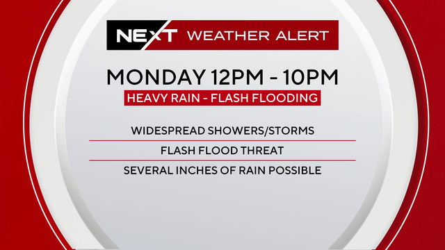
Monday and Tuesday are NEXT Weather Alert Days for South Florida as a weather pattern of storms drops heavy rainfall in the afternoons.
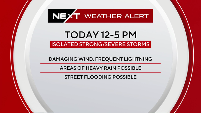
The NEXT Weather Alert for Saturday has been canceled, but be prepared for another NEXT Weather Alert for Sunday and Monday.
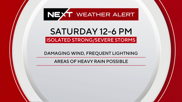
The primary hazard will be strong to damaging wind gusts. If you have plans outdoors, you'll need an indoor backup by the afternoon.