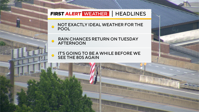
It's not exactly going to be pool weather for Memorial Day in the Pittsburgh area
This is probably not the Memorial Day forecast many were hoping for, but it is the want that we've been given.
Watch CBS News
This is probably not the Memorial Day forecast many were hoping for, but it is the want that we've been given.
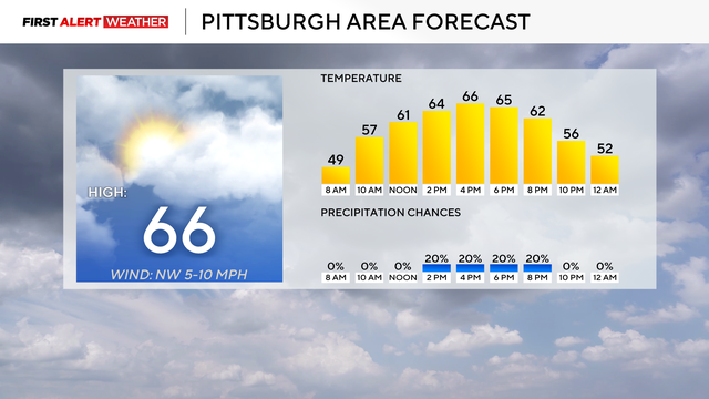
The sunshine starts to shine through, and the temperatures rise into Memorial Day.
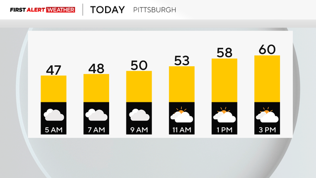
After some rain and chilly temperatures, Memorial Day Weekend starts to see some sunshine and warmer temperatures.
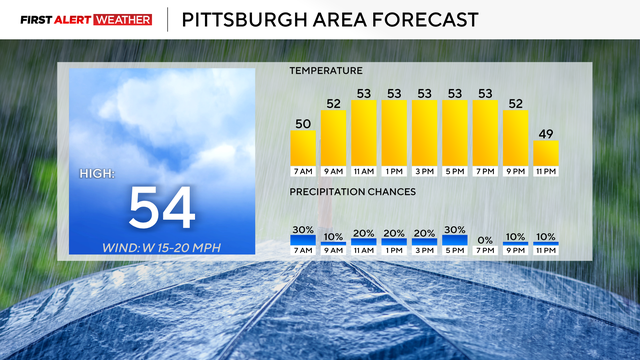
After a couple of days of showers and storms, we'll see some light rain, but it will be mostly dry.
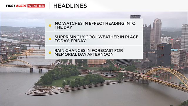
After a day of rain and storms on Wednesday, the storms will be gone today, but the rain remains.

We're in for a lot of rain, and storms are possible on Wednesday.
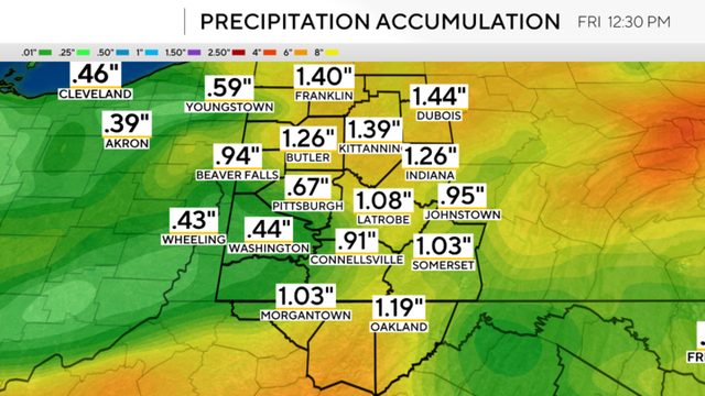
Rain could arrive in Pittsburgh as early as 7 p.m
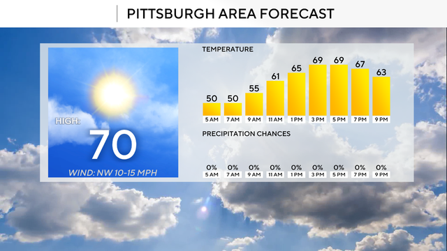
The coolest day of the week will be on either Thursday or Friday.
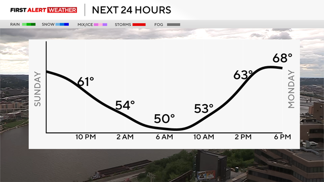
Sunday is looking breezy with partly cloudy skies, but dry. The rain chances return this week, though.
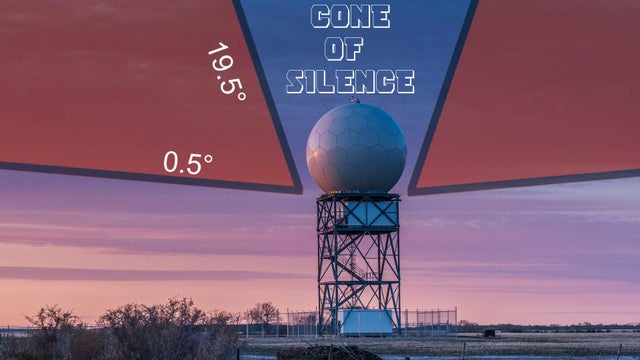
If you've heard the term "The Cone of Silence," it's more than something from TV or movies; it's also scientific!
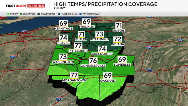
While we dodged most of the intense storms, cooler weather is moving in behind them.
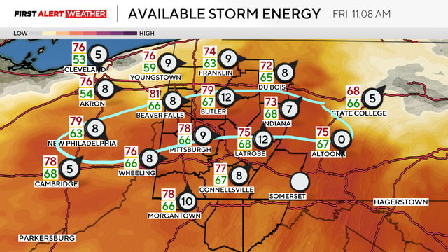
Over the next 24 hours, severe weather risks will be hanging around parts of the region.
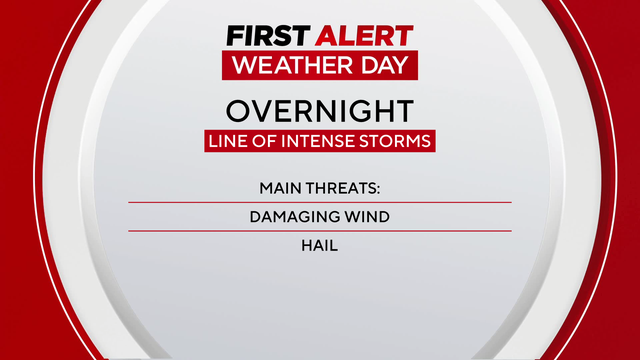
Storms with straight-line winds will move into the region overnight.
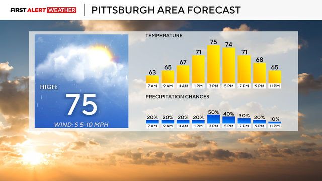
We're in for another day of spotty showers across western Pennsylvania.
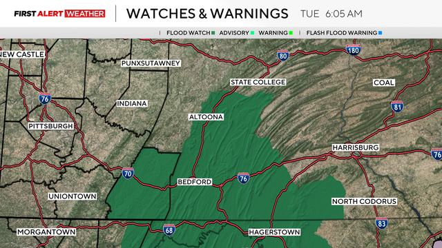
Rain continues today with what is going to be a nearly all-day rain event.
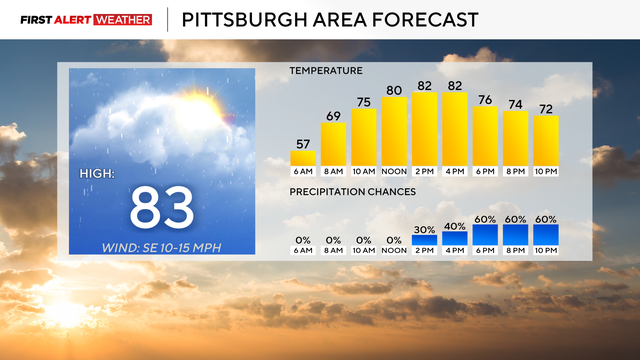
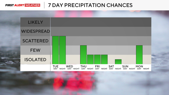
There's a chance for rain every day over the next week.
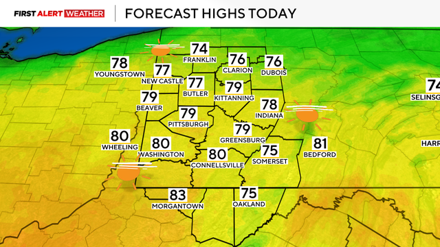
We've got one last day of sunshine and warm weather before rain and storms move in this week.

Once you shuffle a deck of cards, something really special can happen!
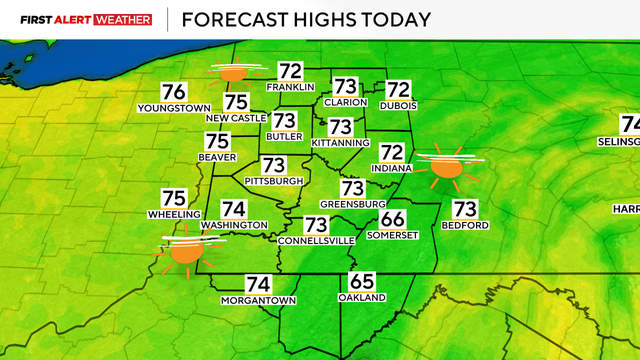
Mother's Day Weekend is looking like a pleasant one, but rain will return next week.
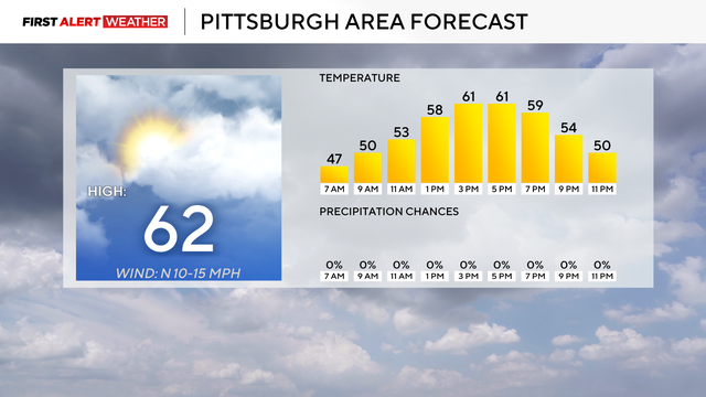
A chill is moving through the region to start the weekend, and some areas will be under a frost advisory on Saturday morning.
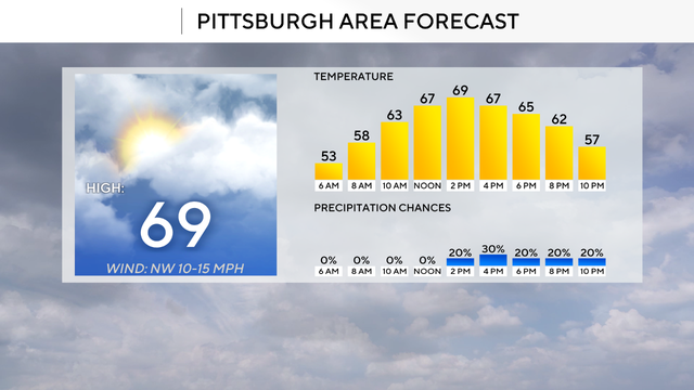
Rain chances return to the area on Thursday as temperatures fall just a bit.
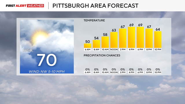
After a wet start to the month, we'll finally get some relief from the rain, but it won't last too long.
It's a chilly day with highs below normal in the low 60s.
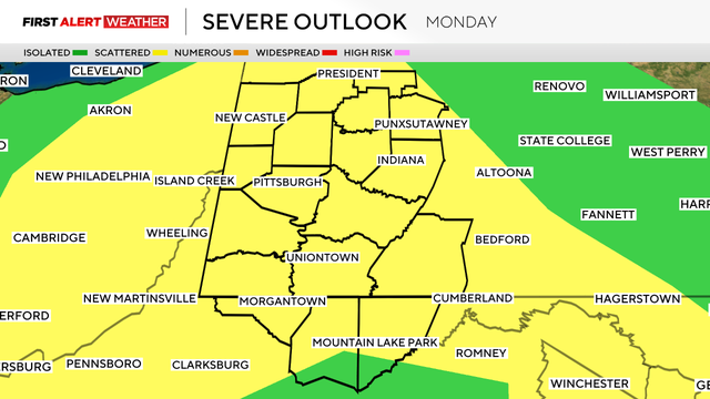
Storms that roll through will follow yesterday's pattern of coming from the south and moving to the north.
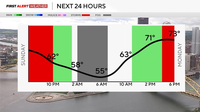
The rain is sticking around to end the weekend and into the start of next week.