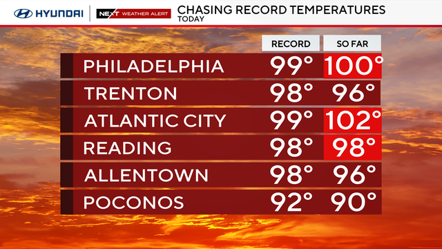
Philadelphia hits 100 degrees for first time since July 2012
Once the Philadelphia region gets past the heat wave, unstable air returns, and the storm door will open through the weekend.
Watch CBS News
Once the Philadelphia region gets past the heat wave, unstable air returns, and the storm door will open through the weekend.

The high temperature so far at Philadelphia International Airport reached 99, breaking a record high of 98 set last year.
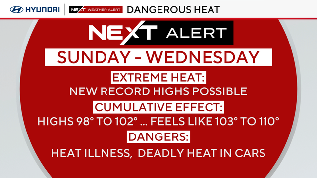
Sunday will be hot and humid with hazy skies and highs in the upper 90s before dropping to the low 80s by nightfall.

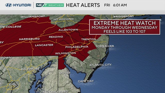
Welcome to Summer! Mother Nature will deliver the first heat wave of the year, which will linger through next Thursday.
Expect sunny skies, low humidity, and seasonable temperatures in the mid-80s on the first day of summer.
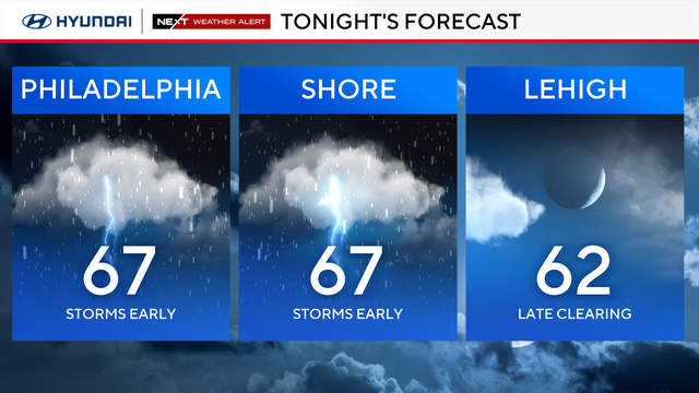
The severe weather threat in the Philadelphia region ended Thursday night after storms prompted multiple weather alerts.
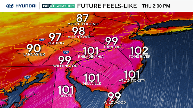
Temperatures climb back into the upper 80s and low 90s Wednesday, but humidity could make it feel like 100 degrees. A heat advisory has been issued through tomorrow.
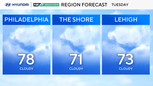
Tuesday will be another cloudy day in the Philadelphia region, but temps will be a bit warmer with scattered storms.
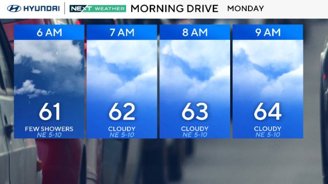
We're kicking off Monday just like the weekend — more clouds, scattered showers and temps stuck in the 60s in the Philadelphia region.
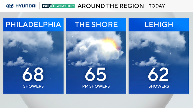
Steady rain will taper off Sunday morning, but the chance for on-and-off spotty showers continues around the Delaware Valley for Father's Day.
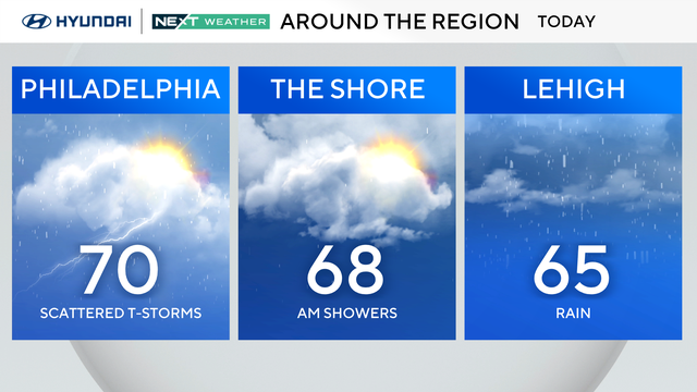
Saturday brings a noticeable change. Clouds stick around for most of the day, and we'll be dodging showers and a few thunderstorms.
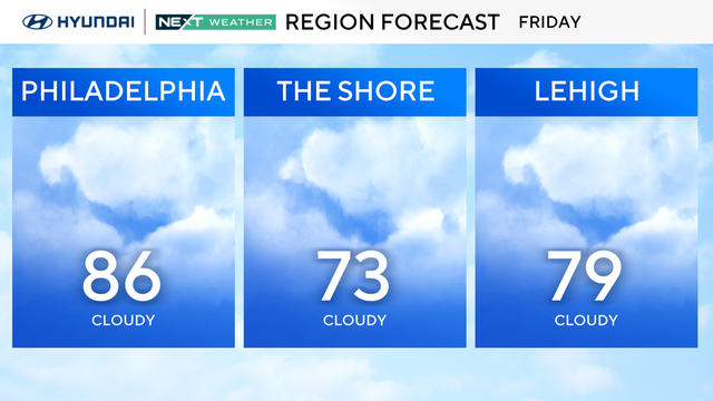
It will be a bit cooler on Friday in the mid to upper 80s in the Philadelphia region with increasing clouds and a chance of isolated storms.
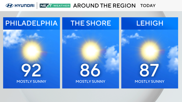
Thursday will be a sunny, hot and hazy day in Philadelphia, though a Code Orange Air Quality Alert is in effect for much of the region.
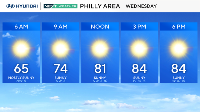
The NEXT Weather forecast is calling for Wednesday and Thursday to be a little warmer and less humid than normal in the Philadelphia region.
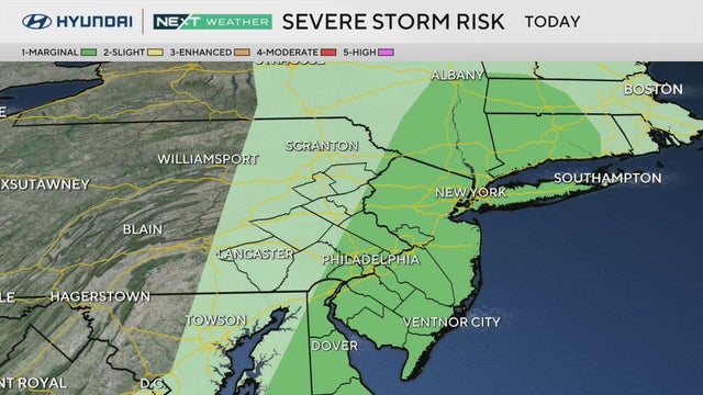
Parts of the Philadelphia region are under a marginal risk for severe weather on Tuesday.
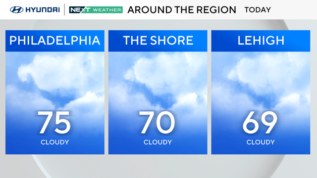
In the Philadelphia area, Monday begins with a chance of just a few scattered showers early followed by a mostly cloudy day.
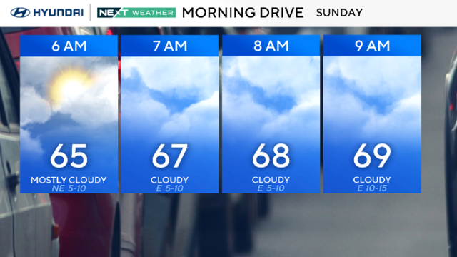
A light, isolated shower is possible Sunday morning, but the bigger chance for heavy rain and scattered thunderstorms is this afternoon around 3-4 p.m.
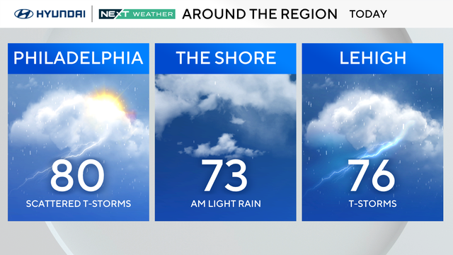
Temperatures will hover near normal on Saturday with highs near 80, before a cold front crosses the region Saturday night.
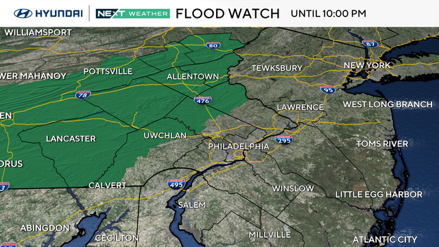
The Philadelphia area ends the week with increasing clouds as a storm system approaches.
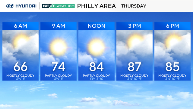
Thursday in the Philadelphia region will be very warm and humid, with highs in the upper 80s and low 90s.
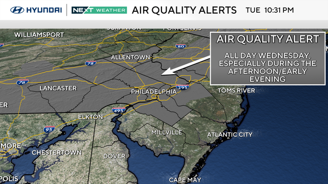
Both Wednesday and Thursday in the Philadelphia region will be very warm and humid, with highs in the upper 80s and low 90s.
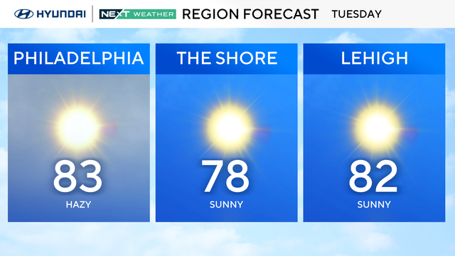
Smoke from Canadian wildfires will give the sky a milky filter Tuesday as temperatures climb into the mid-80s around the Delaware Valley.
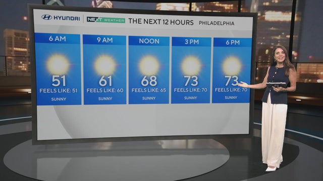
Highs temps will be around 75 with lots of sunshine across the Delaware Valley Monday. Looking ahead, the region could see its first 90 degree day of the season this week.
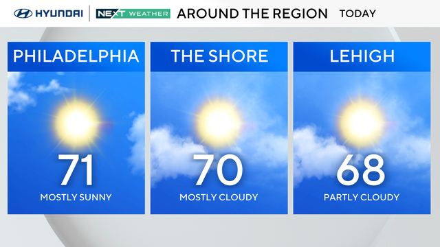
Sunday marks the start of meteorological summer, though it'll feel more like spring. Expect plenty of morning sun followed by afternoon fair weather clouds.
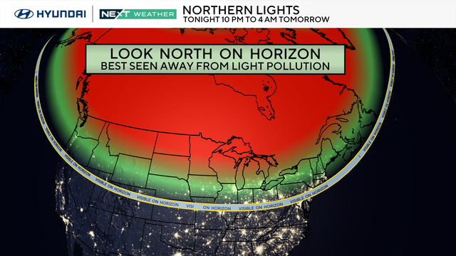
On Sunday and Monday, a widespread display of the northern lights will dance across parts of the U.S., including Philadelphia.