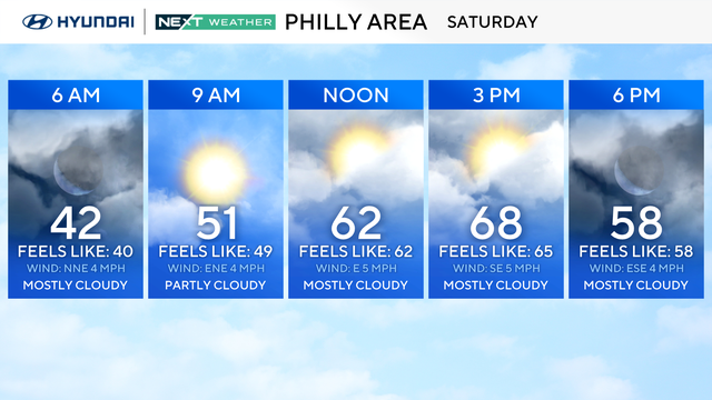
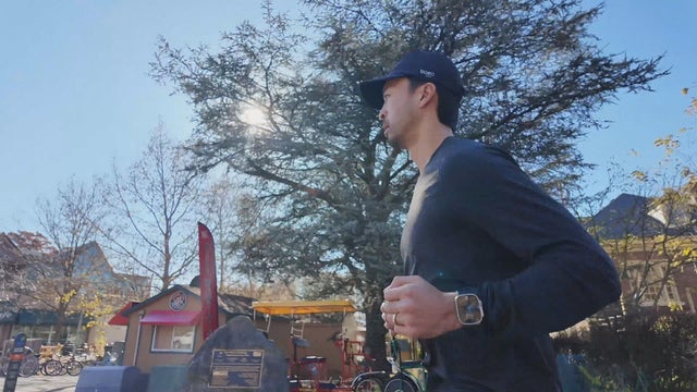
NEXT Weather Alert: Chilly start before afternoon rain gets heavier overnight
This morning is the time to get some shopping done or walk the dog because rain is coming later on Tuesday.
Watch CBS News
This morning is the time to get some shopping done or walk the dog because rain is coming later on Tuesday.

The Philadelphia region will see some showers on Tuesday and Wednesday, but we're not expecting any headaches as we enter the Thanksgiving holiday.

Now that Philadelphia has experienced its first sub-freezing temperature, we'll start to see more and more of this in the coming weeks and months. Here's what you need to know about hypothermia, frostbite and more.

It will be a bitterly cold start to the week before the Philadelphia region sees a gradual warmup.

An overnight freeze is coming to the Philadelphia region Wednesday night into Thursday morning.

The coldest morning of fall will lead to another crisp and cool night at Citizens Bank Park as the Phillies again look to punch their ticket to the World Series.

The rain is now over but the wind takes the top weather headline, with gusts overnight in the 25-30 mph range.

As the chance of rain drops, cooler and gusty air will rush into the northeast through the weekend.

It's going to feel much more like October at Citizens Bank Park for Game 1 of the NLCS between the Phillies and Diamondbacks.

The wet weather impacted not only the Haverford First Fest Music Festival but also other events across the Philadelphia region.

A cold front will bring rain on Saturday and then the coolest temperatures so far this season into next week.

Postseason baseball returns to Citizens Bank Park on Tuesday night for the NL Wild Card Series with an ideal weather forecast.

Tropical Storm Ophelia has been downgraded to a tropical depression.

Just like in the Philadelphia area, cancellations for weekend events are starting to roll in. Chief Meteorologist Bill Kelly breaks down how to prepare for Tropical Storm Ophelia.

Flash flood warnings have ended Wednesday after several inches of rain fell.

Florida residents will not be alone as they face the effects of Hurricane Idalia as New Jersey and Pennsylvania are sending volunteers to help with recovery efforts.

After a weekend that brought a nice break from the heat and humidity, get ready for the 90s to return in the Philadelphia region as we head into the new week.

A Severe Thunderstorm Watch has been issued for several New Jersey and Pennsylvania counties until midnight.

The National Weather Service has issued a tornado watch effective until 11:00 p.m. in the Greater Philadelphia area this evening.

The storms that dropped heavy rain across our region Friday have moved out to sea and we're on track for a nice weekend.

It's going to be another hot day in the area, but don't forget some rain gear for scattered showers and storms. Prepare for severe weather starting overnight and throughout Sunday.

The National Weather Service has yet to confirm the tornado.

A pleasant Saturday with some storms Sunday and Monday, but the Fourth of July is trending dry and warm.

June 28 will be humid with some sun in the Philadelphia area. The morning starts off foggy in South Jersey.

By the end of the week, storms will develop across the Philadelphia region.