Unsettled weather pattern arrives in Philadelphia this week
PHILADELPHIA (CBS) -- After a Father's Day Weekend filled with mostly sunny to partly cloudy skies and warm temperatures, we'll see a return to a more unsettled weather pattern this week, with seasonable temperatures and a gradual increase in the chance for rain.
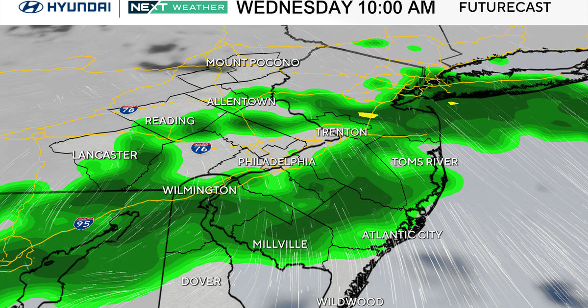
While slow to develop at first, showers (and eventually storms) will spread across the Philadelphia area by Thursday and Friday and into the upcoming weekend.
But first, the heat…
Juneteenth forecast
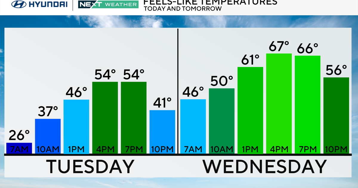
Monday is Juneteenth, and with many people off, expect the splash pads, playgrounds and pools to be crowded. We'll start with sunny skies in the morning, followed by gradually increasing clouds by the afternoon. Temperatures will move into the upper 80s to near 90 degrees. While Monday remains dry, expect slightly higher humidity levels, making it feel more like the lower 90s.
Air quality: not the greatest Monday for Philadelphia and areas west. With more stagnant air and light winds, an air quality alert has been issued for a code orange, which means it could be unhealthy for those with sensitive issues including respiratory issues and asthma. Air quality should improve by Monday night into Tuesday.
More unsettled weather
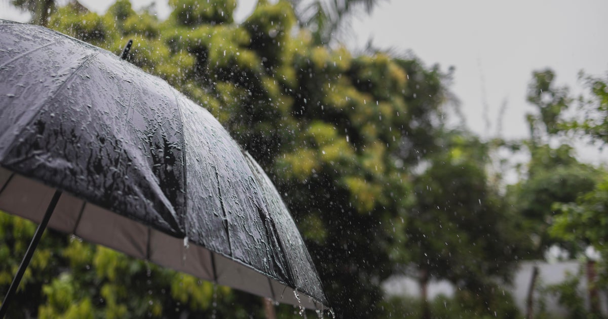
By the middle of the week, an upper-level trough, or wind shift line will set up just northeast of the Delaware Valley. In short, this means pieces of atmospheric energy in the form of scattered showers, will move in. With some daytime heating, showers and even a few rumbles could bubble up Tuesday, although once sunset hits, they should level off. While it won't be a washout by any means, keep an umbrella handy from Tuesday on, because this pattern only gets more unsettled as the week progresses.
By the way, Summer begins on Wednesday at 10:58 am.
The main story will be the Rex Block in the upper levels of the atmosphere setting up. This helps to bring more showers and storms across to us through the end of the week and into the weekend. While there is some back-and-forth between the models about how strong this will be, when it'll break down, or whether other factors such as a low pressure system over the southeast will affect it, it's becoming clearer that the chances of showers and storms will increase Thursday, Friday and into Saturday.
It's still a bit too early to talk about severe weather, but we are watching.
Temperature-wise, highs will be close to average for this time of year, in the upper 70s and low 80s.
Stay with us here at CBS News Philadelphia—the entire NEXT Weather team will continue to keep you updated throughout the week ahead!


