NEXT Weather: Worst of storms move out, alerts canceled
PHILADELPHIA (CBS) -- The worst of the rain and storms overnight and Wednesday morning has moved out, and flood warnings in our region have ended.
Parts of Atlantic, Cape May, Cumberland and Salem counties in South Jersey were under a Flash Flood Warning that has since expired.
The National Weather Service said these areas have received multiple inches of rainfall from the storms and streams and creeks could swell up.
Residents are warned not to drive on flooded roads.
A Flash Flood Warning for Kent County, Delaware has since expired.
Earlier Wednesday morning, two severe thunderstorm warnings were issued for parts of Delaware but have since expired.
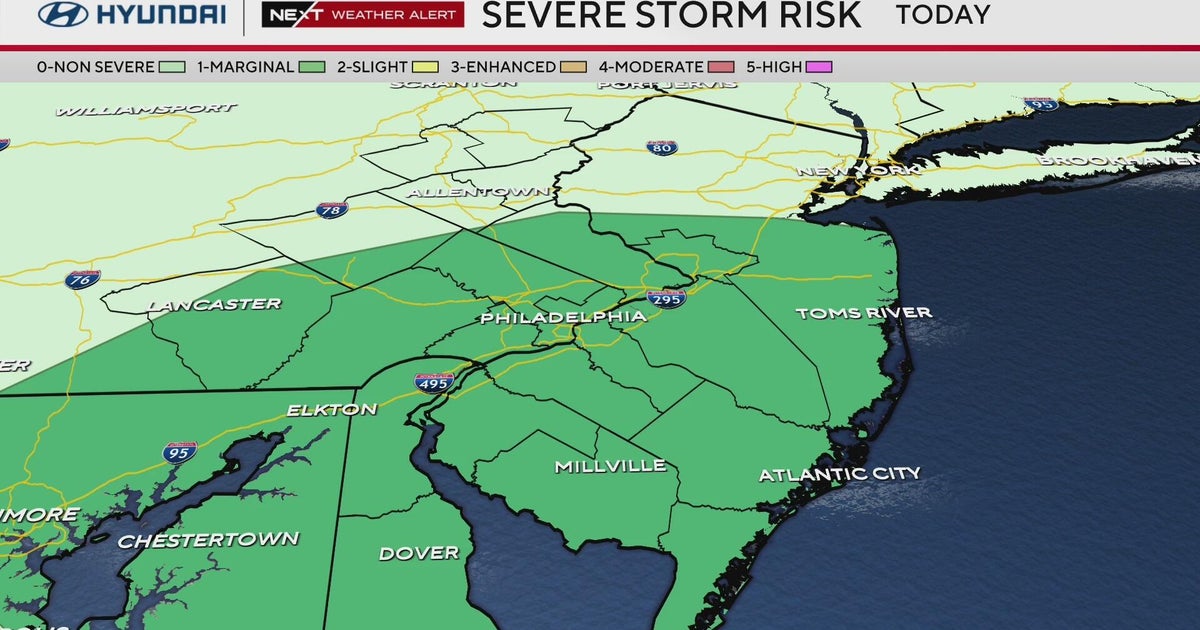
After an unseasonably warm and humid day on Tuesday, big changes are on the way after the approaching cold front eventually swings through. Between the warm and humid air that was in place Tuesday afternoon and the taste of fall behind the cold front, scattered showers and storms are marching east.
The primary threat with these storms will be pockets of heavy rain that may result in flooding. As a result, the National Weather Service issued a Flood Watch for the rest of our region from 2 a.m. Wednesday. The Flood Watch expired around 6:20 a.m. Wednesday.
In addition to the threat of heavy rain and flooding, some of the stronger storms had the ability to produce gusty and damaging winds in excess of 60 mph.
There were also chances of a brief tornado, leading to a tornado warning in parts of Maryland overnight. That warning has since expired.
As the storm continues to move east through early Wednesday morning into South Jersey, the threat of severe weather will begin to taper off, leaving just a threat for scattered showers with some areas of heavy rain. Even through the rest of the morning as the cold front slowly pushes east across the region, there will be a chance for a few trailing showers and storms behind the initial stronger storms.
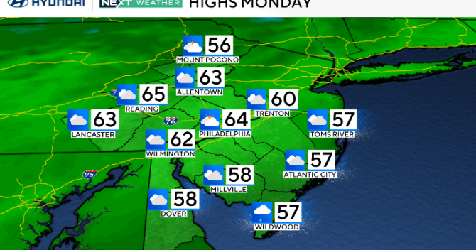
Once the cold front moves east, cooler and drier air will begin to move in for the second half of the week. High temperatures Thursday afternoon will be in the mid-upper 70s with then middle 70s and mostly sunny skies expected for Thursday and Friday afternoon.


