Severe storms could bring strong winds, isolated tornadoes, flooding to Poconos, Lehigh Valley
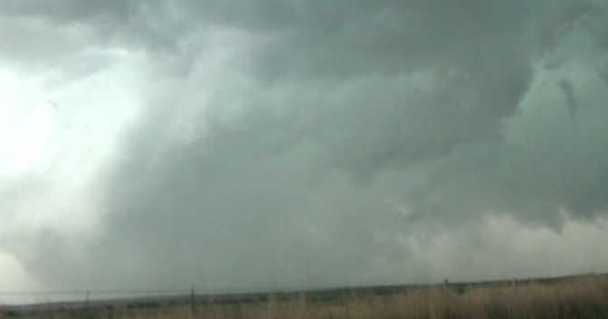
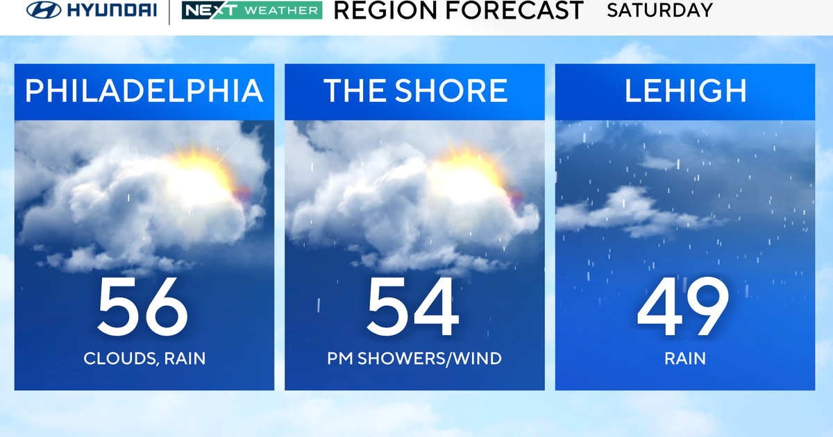
PHILADELPHIA (CBS) -- Severe storms could bring damaging winds, heavy rain, hail, and isolated tornado chances to the northern parts of our region on Saturday.
Our meteorologists have issued a NEXT Weather Alert for Saturday due to these storms, with the northern parts of our region facing the greatest risks.
A Severe Thunderstorm Watch has been issued for several New Jersey and Pennsylvania counties until midnight. The New Jersey counties under this watch include: Mercer, Monmouth, Hunterdon, Middlesex, Morris, Somerset, Sussex and Warren.
While the Pennsylvania counties impacted by the watch include: Lehigh, Northampton, Carbon, Monroe and Bucks.
The Poconos are under an "enhanced" risk for severe weather, or level three on a five-point scale.
The Lehigh Valley, Berks County and Upper Bucks and Montgomery counties are under a "slight" risk or level two out of five.
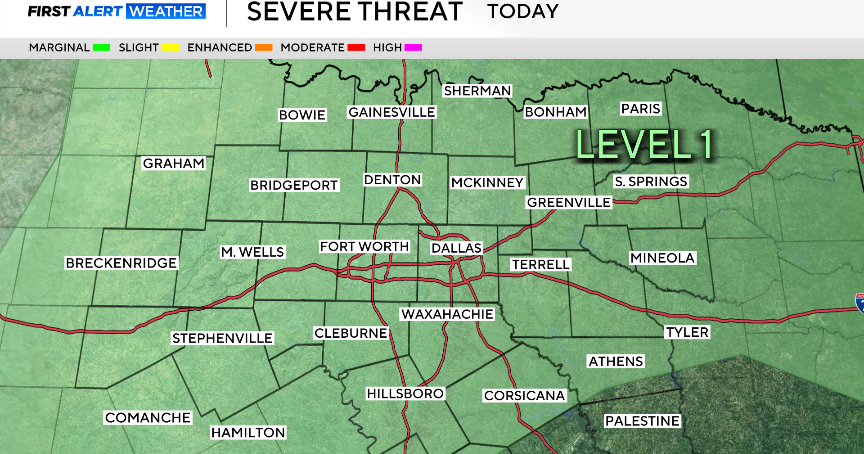
Philadelphia and the suburbs including lower Bucks and Montgomery counties, Chester and Delaware counties and South Jersey are under a "marginal" risk or level one out of five.
In the level 2 areas, we could see a brief spin-up but more likely, it would be damaging winds and heavy rain.
Winds will be howling if we get a storm going across the I-95 corridor, but the highest wind risk is in the far northern regions.
The greatest tornado risk is from the Lehigh Valley up into the Poconos.
Tammie Souza answers your storm questions on Facebook Live
Timing out storms' arrival in Poconos, Lehigh Valley, Bucks, Berks, Montgomery counties
A warm front lifted through our area this morning bringing humidity and heat. A cold front is coming through and will collide with the warm front causing the storms.
More storms could drop heavy rain in the late overnight hours over Philadelphia and the I-95 corridor. It's looking like heavy rain, intense lightning and damaging winds between midnight and 3 a.m. over the city.
Other potent storms could arrive late Monday and early Tuesday.


