Light snow followed by colder air in Twin Cities on New Year's Eve
New Year's Eve will start with light snow in the Twin Cities, with colder air to follow.
Watch CBS News
New Year's Eve will start with light snow in the Twin Cities, with colder air to follow.
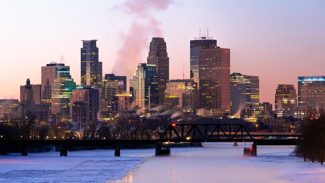
Minnesota will see a couple of rounds of light snow midweek before temperatures turn colder in time for the new year.
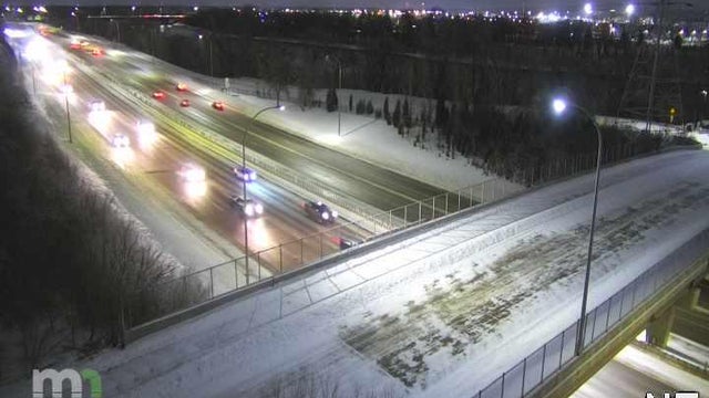
Though the snowstorm that lashed Minnesota on Sunday has wrapped up, road conditions were still challenging Monday morning.
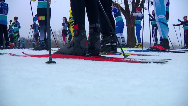
On Saturday, cross-country skiers raced in Maple Grove, Minnesota, in an event that happened earlier than the normal.
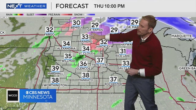
Meteorologist Adam Del Rosso said there's a potential for freezing drizzle and icy roads in northern and central Minnesota from Thursday afternoon to Friday morning.
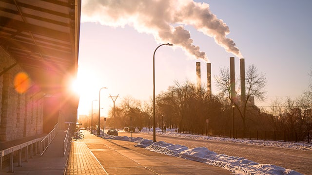
Minnesota will turn a bit cooler on Tuesday, but conditions will stay calm.
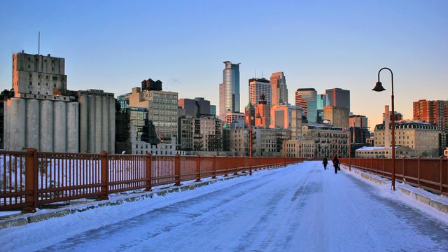
Monday started with a light wintry mix and a few slick spots in the Twin Cities, but conditions will settle into a quiet and fairly mild afternoon.

Sunday will be nice and sunny, with much lighter winds and temperatures around average.
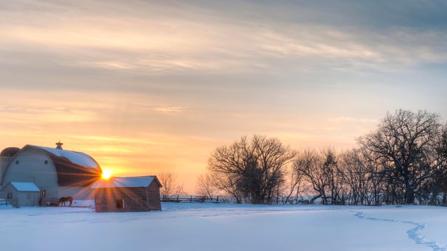
The Twin Cities will have another mild day Wednesday before things turn wet and colder.
Highs will climb close to 40 in the Twin Cities on Tuesday, but a cooldown is coming later in the week.
After a frigid weekend, Monday will bring warmer temperatures across Minnesota.
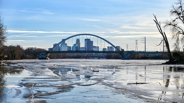
Minnesotans are waking up to the coldest air of the season so far on Sunday.
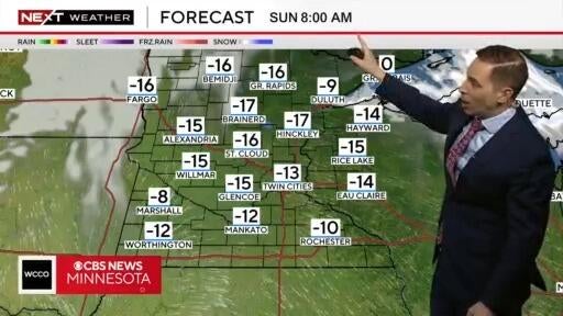
Next Weather meteorologist Mike Augustyniak says temperatures across Minnesota on Sunday morning are expected to drop into the double digits below zero.
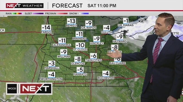
There's a chance the temperature in the Twin Cities won't reach above zero on Saturday, according to Next Weather meteorologist Mike Augustyniak.
If temperatures remain below zero all day Saturday, it will be the coldest day in the metro since Feb. 17, the earliest zero-or-lower high since Dec. 12, 2000 and the 15th earliest zero-or-lower high on record.
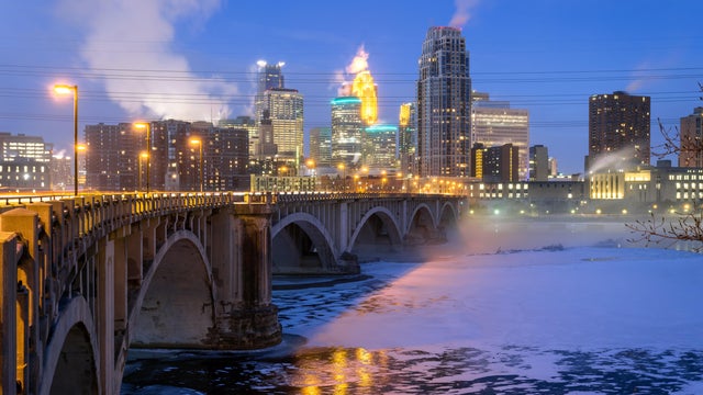
A clipper will throw some light snow to southwestern Minnesota into Thursday afternoon, with 1 to 3 inches of accumulation possible. A winter weather advisory is in effect in that region until 6 p.m. Thursday.
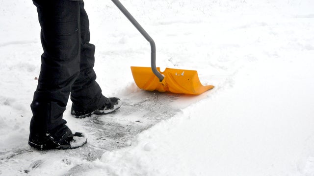
Tuesday's storm is gone, but some lingering flurries will slide through the Twin Cities on Wednesday.
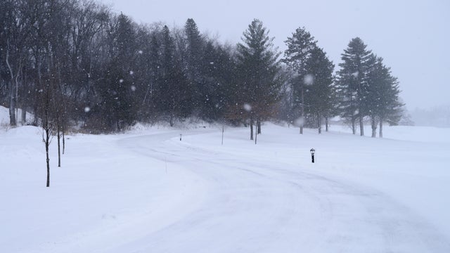
Tuesday will bring a strong clipper system that could drop several inches of snow on parts of the Twin Cities.
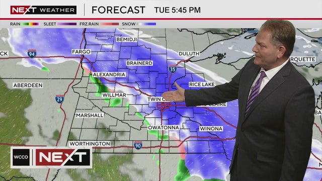
A NEXT Weather Alert is in effect for a storm on Tuesday that could bring up to 8 inches of snow in some areas of Minnesota.
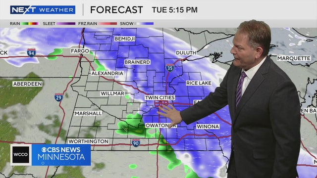
A system of snow and rain will move over Minnesota on Tuesday, followed by gusty winds, according to Next Weather meteorologist Chris Shaffer.
A NEXT Weather Alert is in effect for a storm that's expected to bring rain and snow through Minnesota on Tuesday.
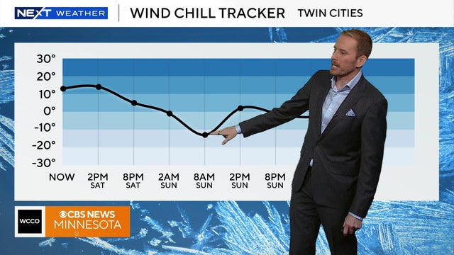
Temperatures will remain in the teens on Saturday, but the wild chill will make it feel closer to the single digits.
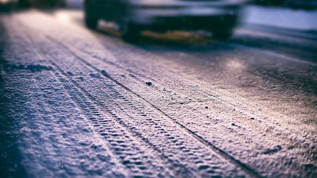
Temperatures will drop to the teens in Minnesota on Friday night following a snow system in the Twin Cities that impacted Friday morning's commute.
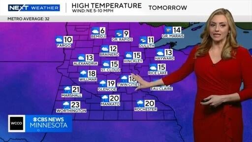
Temperatures will be in the teens on Saturday, with wind chills in the single digits, according to Next Weather meteorologist Lisa Meadows.
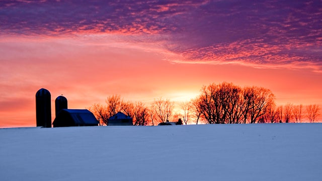
After the coldest morning Twin Cities residents have felt since mid-February, temperatures gradually warm through Thursday afternoon and evening.