Arctic air taking hold of Minnesota this week
A cold pattern settles in across Minnesota Tuesday, with spotty light snow possible.
Watch CBS News
A cold pattern settles in across Minnesota Tuesday, with spotty light snow possible.
Minnesota's cold streak isn't going anywhere as temperatures stay below normal on Monday and throughout the week.
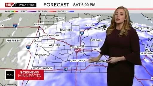
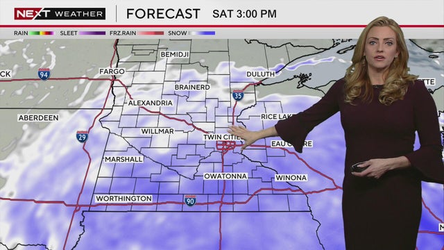
Next Weather meteorologist Lisa Meadows says the Twin Cities could see 3 to 5 inches of snow by the end of this weekend's winter storm.
Next Weather meteorologist Lisa Meadows said a winter storm that moved into southwestern Minnesota on Friday night will impact central parts of the state, including the Twin Cities on Saturday.
A winter snowstorm that slowly moved into southern Minnesota on Friday night is expected to drag across the state into Saturday. WCCO has issued a NEXT Weather Alert.
Highs on Thursday won't break 30 in the metro as skies stay mostly cloudy, with some sun breaks.
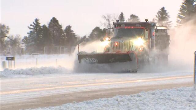
Minnesota's first winter storm of the season should move out Wednesday morning, but blowing snow and bitter cold will continue to make travel difficult in parts of the state.
Minnesota's first winter storm of the season will push out Wednesday morning, but tough travel conditions and biting cold will linger.
On Monday evening, the first wave of a two-part storm arrives, bringing a few showers across southern Minnesota. Round two arrives Tuesday morning as rain for southern and central Minnesota and snow up north.
High temperatures will be in the 50s in the Twin Cities this weekend, according to Next Weather Meteorologist Lisa Meadows.
Temperatures will run 5 to 10 degrees above normal, with highs around 45 on Wednesday.
After some precipitation early Tuesday, the Twin Cities will be dry and seasonable for the next several days
Areas south of the Twin Cities should brace for some snow Monday night as a wintry mix moves through.
After record breaking heat on Friday, an overnight cold front has brought the temps down to the 50s for the metro area and high 30s to low 40s for other parts of the state.
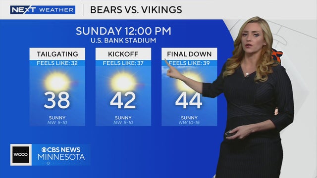
Meteorologist Lisa Meadows says Minnesota Vikings fans tailgating before the Chicago Bears game on Sunday will feel 30-degree temperatures. Temps will rise to the low 40s by kickoff.
Parts of Minnesota will see 50-degree temperatures on Saturday before a cooldown begins, according to Next Weather meteorologist Lisa Meadows.
After a stunning northern lights show Tuesday night, Minnesotans will get another chance to spot them on Wednesday.
A warming trend takes hold in the Twin Cities on Tuesday, with a stretch of quiet days ahead.
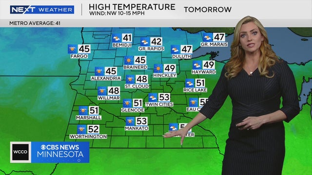
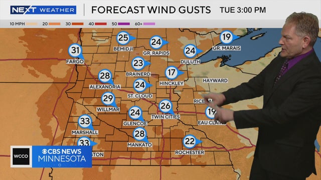
Temperatures will be in the 40s and 50s across Minnesota on Tuesday, though some residents may feel some wind gusts in the afternoon, according to Next Weather Meteorologist Chris Shaffer.
The work week will get off to a cold start in Minnesota before a steady warm-up in the coming days.
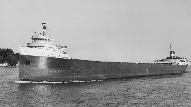
November is a month well known for being a transition month on the Great Lakes. Powerful storms, intense winds, arctic air and even bursts of warmth all play a role.
Things will turn cloudy and cooler on Friday, with wind gusts up to 30 mph and highs in the upper 40s.
Highs will top out in the mid-50s on Thursday as wind gusts hit 30 to 35 mph.
Wednesday's breezy, sunny conditions will close out the work week in the Twin Cities, but a major chill-down is on the way.
Wednesday will feel cooler in the Twin Cities with highs in the mid 50s, temperatures still remain above average for early November.