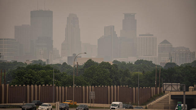
Red-level air quality alert to be issued for large area of Minnesota later this week
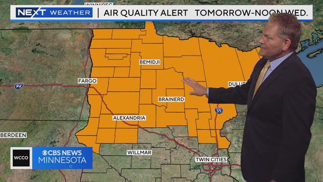
Wildfire smoke from Canada has prompted the Minnesota Pollution Control Agency to issue a red-level air quality alert for a large area of the state later this week.
Watch CBS News
Wildfire smoke from Canada has prompted the Minnesota Pollution Control Agency to issue a red-level air quality alert for a large area of the state later this week.
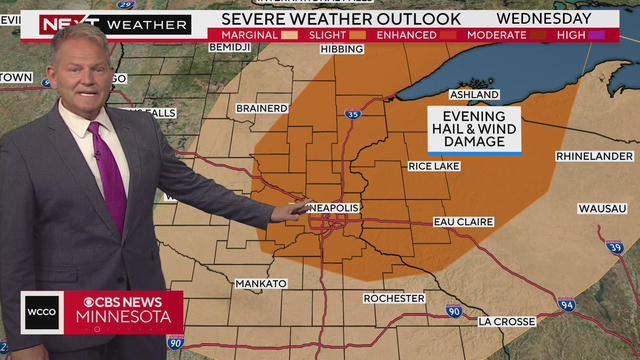
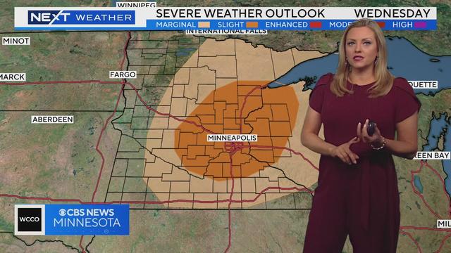
Wednesday will be a NEXT Weather Alert day due to possible severe weather across much of Minnesota.
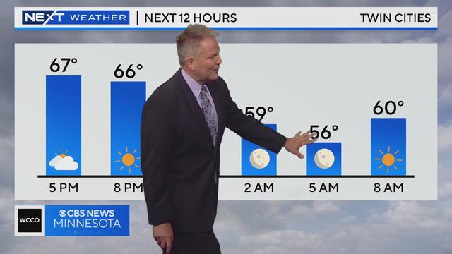
Meteorologist Chris Shaffer has the latest forecast.
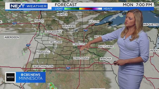
Monday's showers are slowly clearing out, and we'll soon dry out and begin to warm.
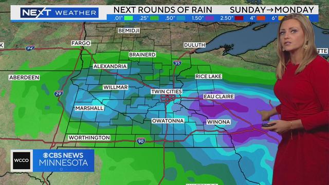
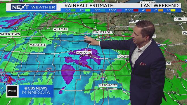
Minnesota closed out the weekend with a much-needed soaking.
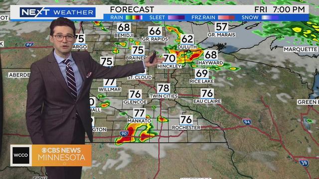
A NEXT Weather Alert has been issued Friday evening as potentially destructive storms move into the area.
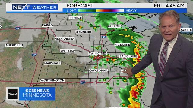
Storms move into southwestern Minnesota Thursday evening, and they're sticking around through Friday morning.
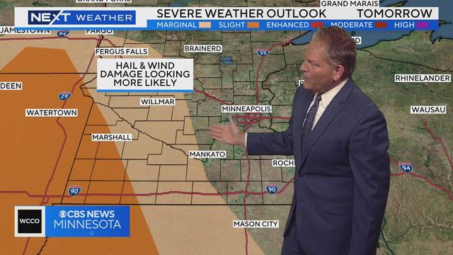
Dew points will start to move back into the comfortable range Thursday, but more storms are on the way.
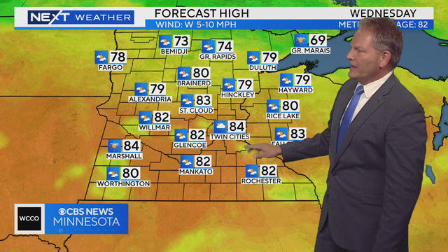
After widespread showers and thunderstorms visited northern Minnesota Tuesday, parts of southern Minnesota will get some much-needed Wednesday.
Meteorologist Chris Shaffer has the latest forecast.
Meteorologist Mike Augustyniak has the latest forecast.
Meteorologist Lisa Meadows has the latest forecast.
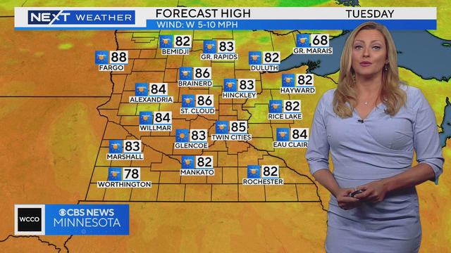
Some Minnesotans will enjoy a typical summer day Tuesday, while others will deal yet again with hazardous air from wildfire smoke.
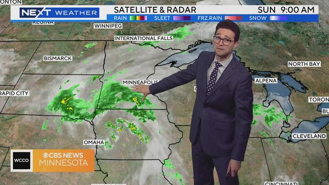
Meteorologist Joseph Dames has the latest forecast.
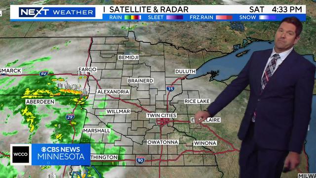
WCCO's meteorologist Riley O'Connor says the next best chance for rain and storms is this evening into the overnight. However, most of the storms will remain to the west of the Twin Cities.
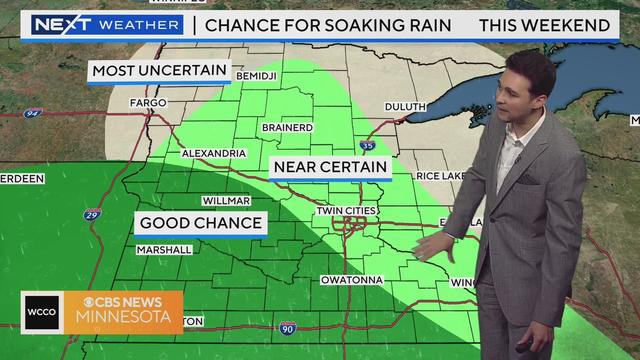
WCCO meteorologist Joseph Dames says Saturday will bring a slow-rolling march eastward for rainmakers. Most of the day will be dry in the Twin Cities, but eventually -- likely after sunset -- the rain should still move in.
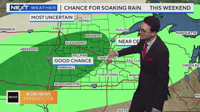
WCCO meteorologist Joseph Dames says we might start to see a few showers develop out west Friday, but looks to be dry to wrap up the week in the Twin Cities.

Lately, it seems like the weather you experience could come down to what block you live on. While some areas get blasted with storms, others don't see a drop of rain.
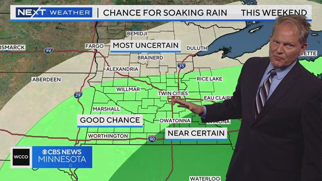
Friday will still be humid, but highs will drop below 90 degrees.

NEXT Weather investigative reporter Jonah Kaplan is back after going straight to the source and covering the Canadian wildfires.
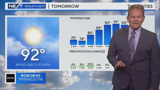
Thursday will still be hot, with a high of 90 again, but the humidity will begin to drop.
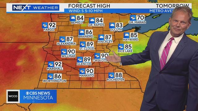
Wednesday will be even hotter and more humid, and we could make a return trip to 90.
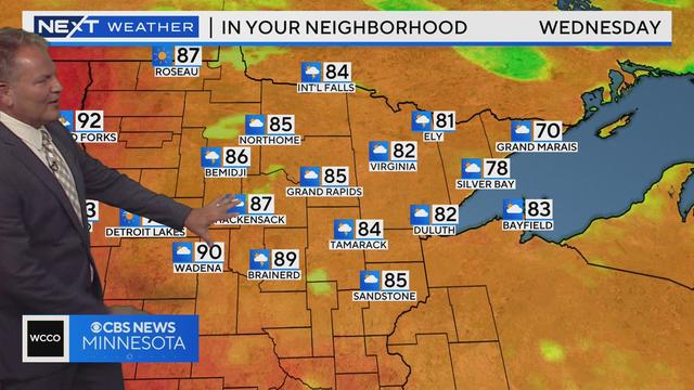
Expect highs in the upper 80s Tuesday, before reaching the 90s Wednesday and Thursday.
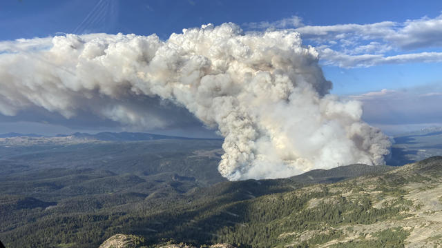
Affected areas include Bemidji, International Falls, Two Harbors, Hibbing, Ely, Duluth, Roseau, and the tribal nations of Red Lake, Leech Lake, Grand Portage, and Fond du Lac, the Minnesota Pollution Control Agency said.
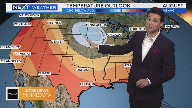
Meteorologist Joseph Dames has the latest forecast.