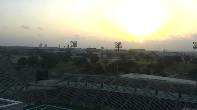
Saharan dust keeps temperatures just below 100 degrees in North Texas
The dust layer, gusty winds and humid air will keep high temperatures from reaching the triple digits today but it will get very close.
Watch CBS News
The dust layer, gusty winds and humid air will keep high temperatures from reaching the triple digits today but it will get very close.
Weak weekend front could bring low rain chances.
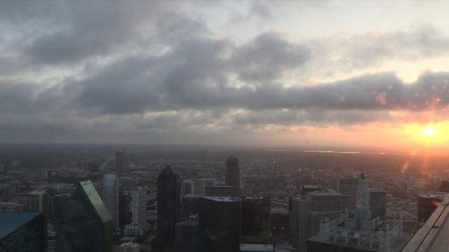
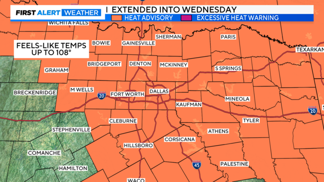
Most of North Texas is under a heat advisory until 8 p.m. Tuesday.

The heat advisory has been extended through at least 8 p.m. Tuesday.

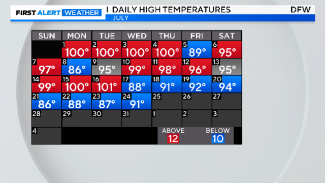
After two weeks of less heat than usual for North Texas, temperatures are now set to soar through at least the first week of August.

A heat advisory is issued for Monday, possibly to be extended to Tuesday.

A tropical depression may form in the Atlantic midweek.
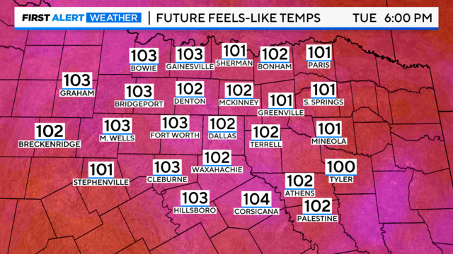
Heat indices will likely range from 98 to 103 degrees through Monday, increasing slightly by midweek. We could approach heat advisory criteria by midweek.
A return to summer heat next week.
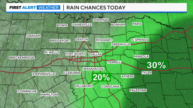
Clouds will linger overnight, especially to the east. Rain chances will remain at 20% or less.
Friday through Sunday will have below-normal temperatures and spotty afternoon showers.

There will be a few showers and storms Thursday afternoon, especially east and southeast of Dallas-Fort Worth.
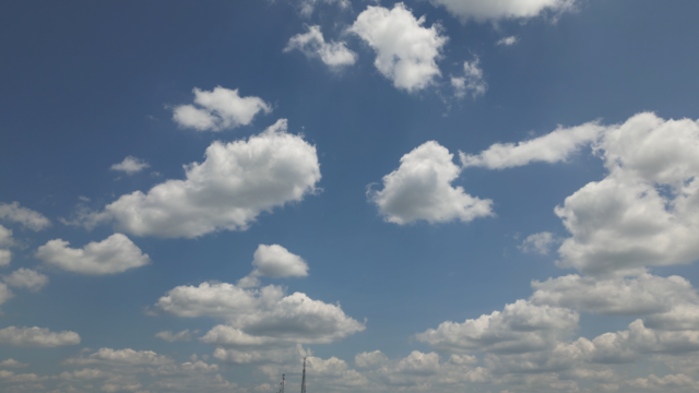
More sunshine peeked through the clouds Wednesday, and high temperatures reflected it.

There are small rain chances Wednesday with temperatures in the low 90s and calm winds.

Normal Texas summer heat returns next week.
Expect a nice mix of sun and clouds on Tuesday with rain chances around 10% to 20%.
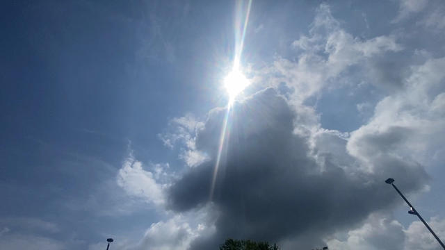
Tuesday morning's commute should be dry.

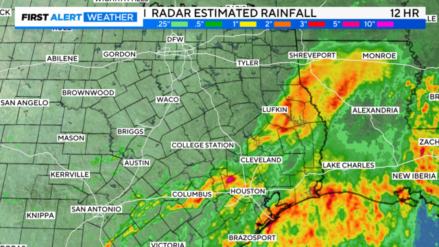
Flash flooding Monday morning brought nearly 4 inches of rain for some North Texans.

The number of heat-related deaths in Texas is rising among residents who lost power during Hurricane Beryl.

Temps remain in the upper 80s and low 90s, with hit-and-miss chances of rain.

Temperatures are a few degrees cooler Sunday afternoon with the cloud cover around, keeping highs near 90.
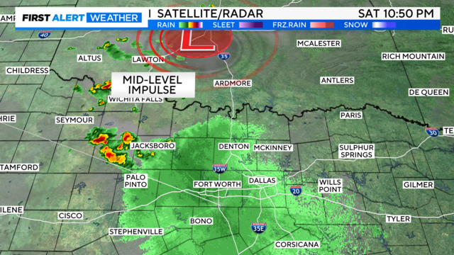
A few storms could also fire in DFW, and a few with gusty winds, Sunday afternoon and evening.

Friday's forecast is mostly sunny with highs in the low 90s.
Friday and Saturday look dry and hot.
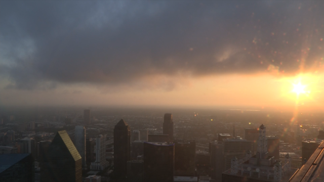
Spotty showers can't be ruled out Thursday.