Temperatures tumble in North Texas on first day of meteorological winter
Monday is the first day of meteorological winter and it sure felt like it this morning with temperatures in the 30s.
Watch CBS News
Monday is the first day of meteorological winter and it sure felt like it this morning with temperatures in the 30s.
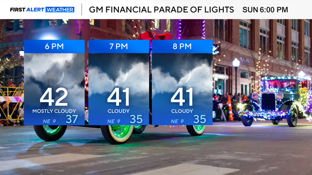
Cold weather is expected all day.
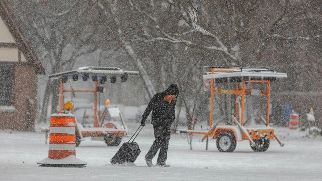
Winter storm warnings and advisories extended from Montana to Ohio, the National Weather Service said. Forecasters warned there could be airport delays and slowed traffic with snow falling at more than an inch per hour in some areas.
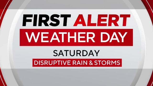
North Texas faces rain, wind and afternoon storms ahead of a sharp temperature drop that brings the coldest air of the season by Sunday.
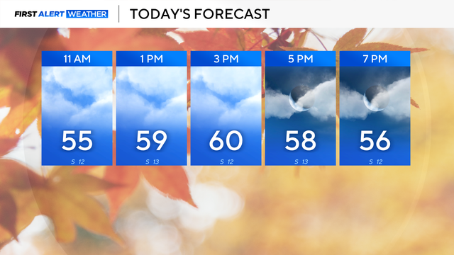
There are plenty of clouds in the forecast for Black Friday with slightly below average highs in the upper 50s across North Texas.

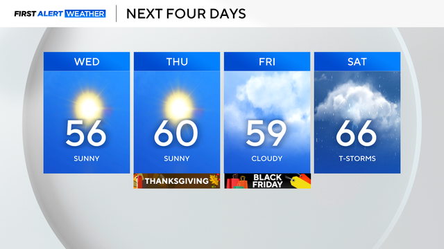
After a sunny and seasonable Thanksgiving Day in North Texas, clouds build for Black Friday, which drops temperatures a few degrees.
Temperatures on Wednesday morning were colder as a cold front moved through North Texas.
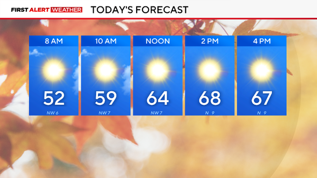
After a rainy Monday in North Texas, it will finally feel like fall.
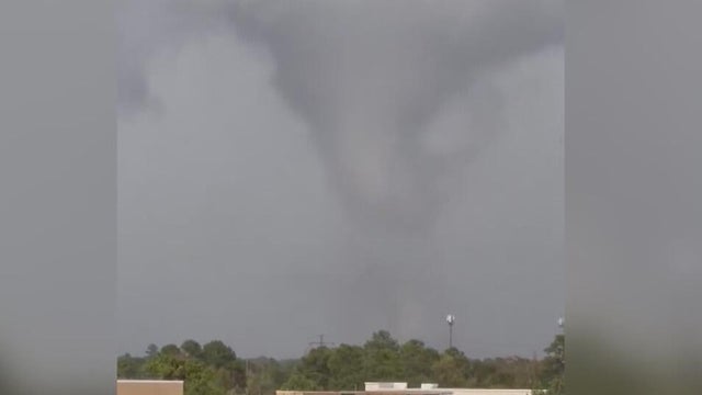
More than 100 homes have been damaged after a tornado touched down in a residential area outside Houston.
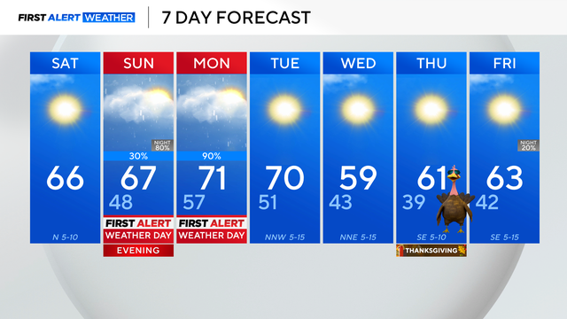
The next big storm system is expected to move through North Texas overnight Sunday, bringing heavy rain.
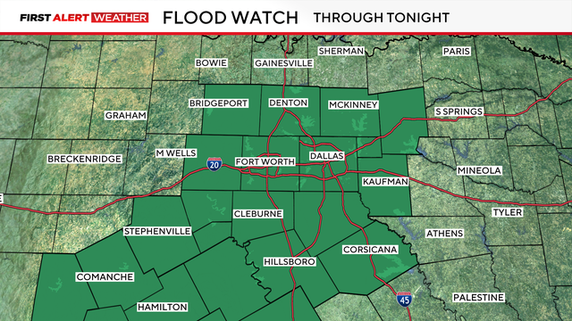
Isolated strong to severe storms will be possible with a very small chance for an isolated tornado.
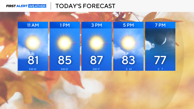
Highs soared to 86 degrees in Dallas-Fort Worth on Tuesday, breaking the current record of 83 degrees.

North Texas has tied for the record high temperature on Monday. Another record high is expected on Tuesday.
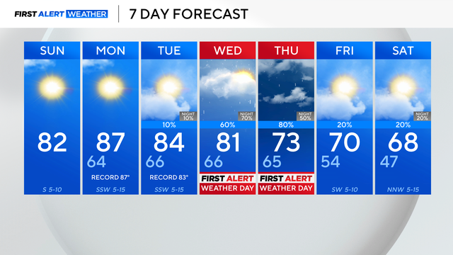
Due to a ridge of high pressure, the above-average temperatures are here to stay over the next few days.

The typical high temperature for this time of year is 67 degrees, but the high on Saturday hit a record 89 degrees.

A cold front will come to North Texas in the middle of next week, bringing chances of rain to the forecast.

For Thursday, highs will be in the lower 80s. The average high temperature for this time of year is the mid to upper 60s.
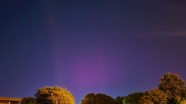
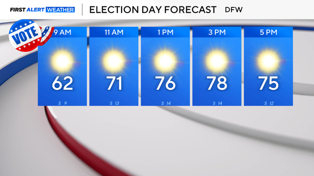
A beautiful day is ahead in North Texas with sunny skies and temperatures warming into the upper 70s.
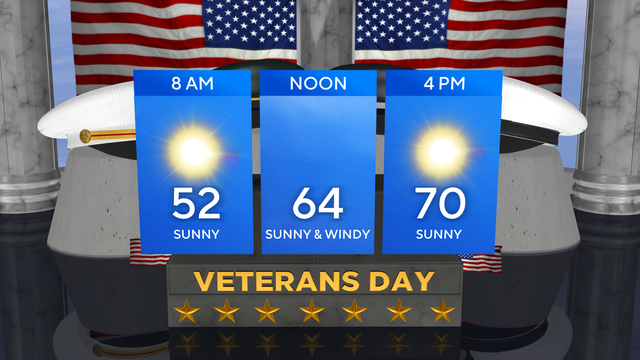
Veterans Day is off to a chilly start in North Texas with temperatures in the 40s and wind chills in the 30s.
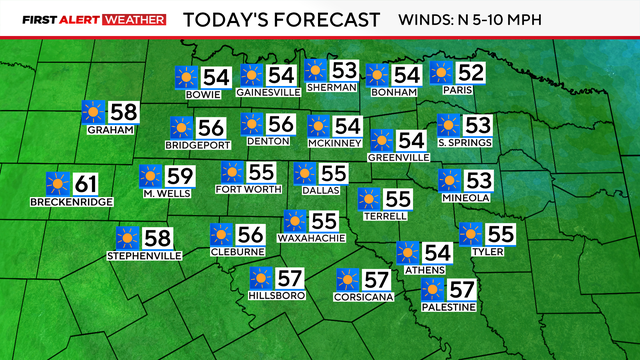
There will be plenty of sunshine on Monday with a high temperature in the mid-50s, sitting well below average.
There will be plenty of sunshine, but the northerly winds will gust up to 40 mph, making it feel very chilly throughout the day.
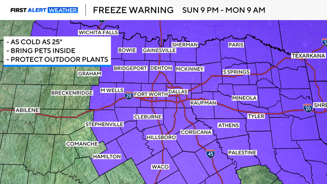
A freeze watch is now in effect starting at 9 p.m. Sunday through 9 a.m. on Tuesday.

High pressure remains in control, so sunny skies and dry conditions are the rule for the next few days.
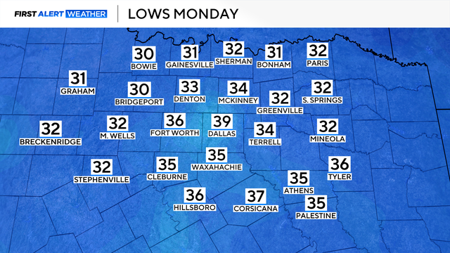
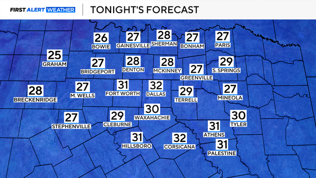
A First Alert Weather Day has been issued for Monday for temperatures in the metroplex at or near freezing, and wind chills even colder.
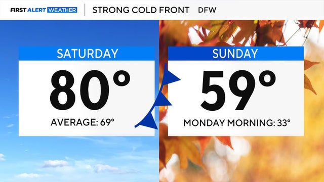
The warmer-than-average trend won't last too much longer as two cold fronts will move through this weekend.