Pittsburgh Weather: Parts of the area bracing for potentially severe winter weather; storm track still uncertain
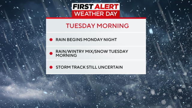
Rain will arrive later Monday evening and spread across the region with an approaching storm system.
Watch CBS News
Rain will arrive later Monday evening and spread across the region with an approaching storm system.

We hit 63 for the high in Pittsburgh today, which was only two degrees shy of a record! The party ends tomorrow, though.
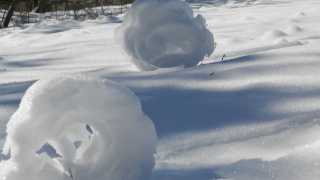
Snow does more than just fall - snow can roll!
One year ago today, we hit 65°.
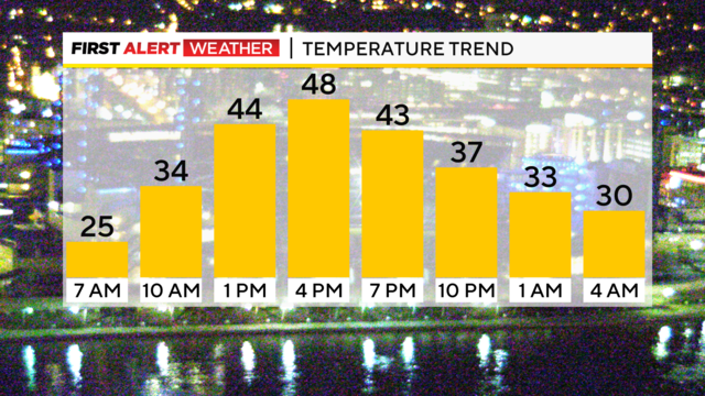
We are locked into a fairly pleasant pattern right now.

Looking ahead, the entire week is looking unseasonably warm.
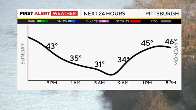
Lots of sunshine and warm air pushed our highs across the region today into the mid-50s, which is nearly 15 degrees above normal for early February.
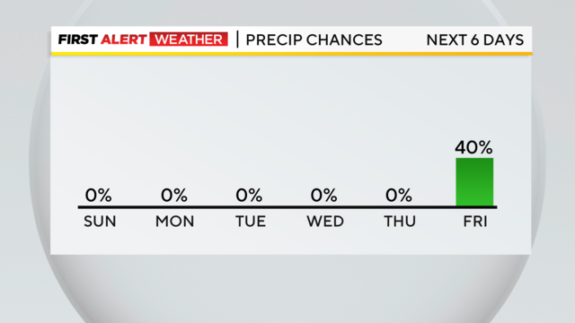
It was a great day with plenty of sunshine, and we have a repeat for Sunday with highs near 50 degrees, so get out and enjoy it!

Water can sometimes act differently than we expect - let's check out the science behind it!
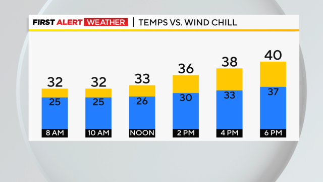
There's a chance for rain and a little snow overnight tonight, with places along and south of I-70 seeing the best chance for it.

The Ohio River at the Point is in the action stage.
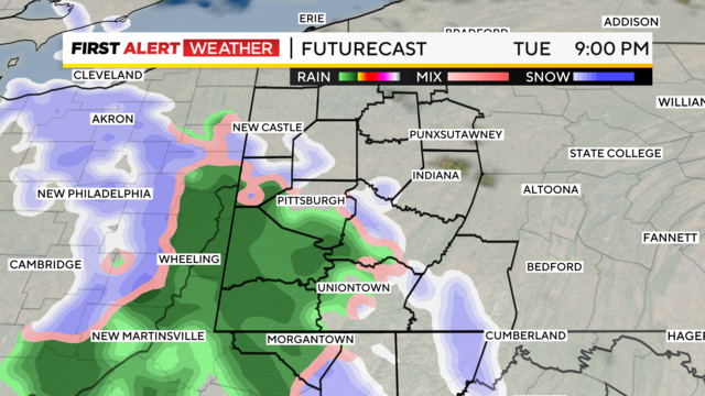
Rain will transition to mainly light snow as the night continues.
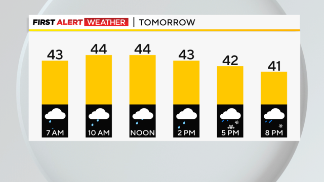
Rain will continue tonight into tomorrow. Temperatures will hold quite steady throughout the night, as well.
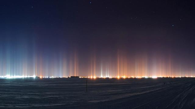
When it's really cold out, we can see some weird lights in the sky, but why is that?

For about half of our area, slick roads due to freezing rain are the main story this morning.
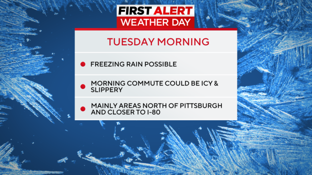
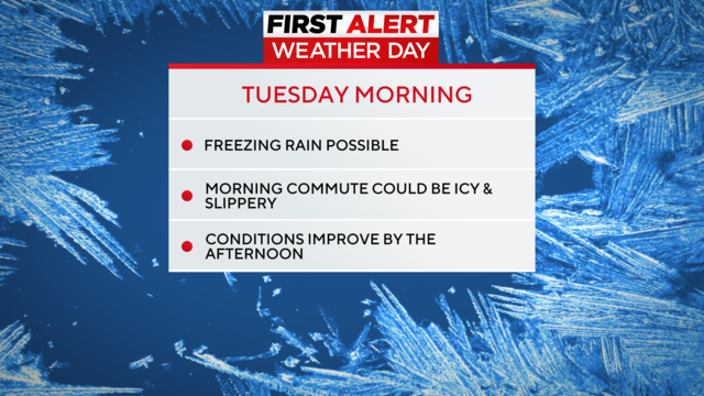
Tuesday is a First Alert Weather Day for the potential of freezing rain.
While we're warming up next week, the chance for snowmelt is coming.
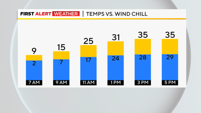
A few scattered snow showers and gusty wind will keep things cold tonight, with lows in the teens and wind chills that will feel like the single digits.
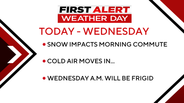
Morning snow showers mucked up the morning commute, with more than 200 school delays issued due to snow.
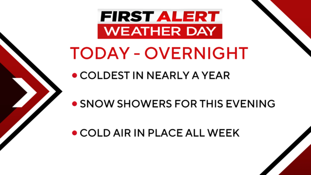
Today and Tuesday are now First Alert Days due to snow chances and cold weather.
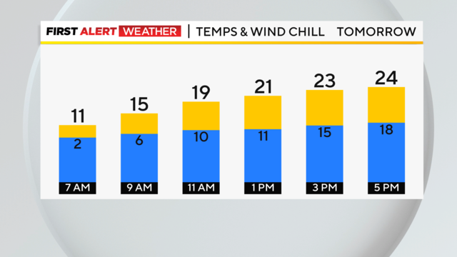
The Arctic air has arrived, and despite our sunshine today, it was cold.
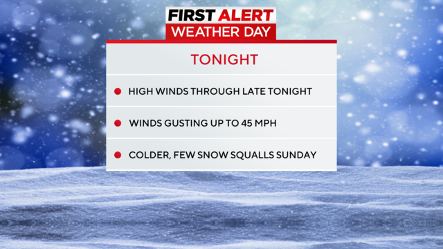
Tonight is a First Alert Weather night through midnight with a wind advisory in place and a winter weather advisory in place for the Ridges and Laurels through noon Sunday for wintry driving conditions.
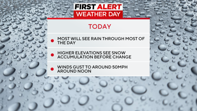
It's going to be rainy and windy. The morning hours will see temperatures cool enough for snow but our highs will be around 50 degrees today.

Tuesday has been declared a First Alert Weather Day due to strong winds and plenty of rain.
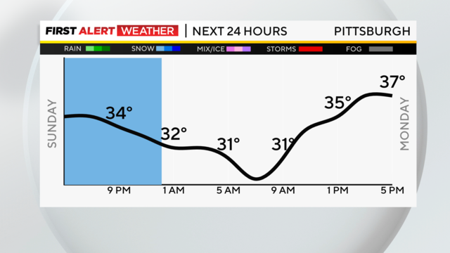
Rain and snow showers wrap up overnight, and we are left with mostly cloudy skies for Monday and highs near normal in the upper 30s.