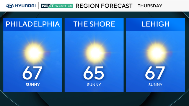
Weather rebounding from chilly start to sunny and 70s
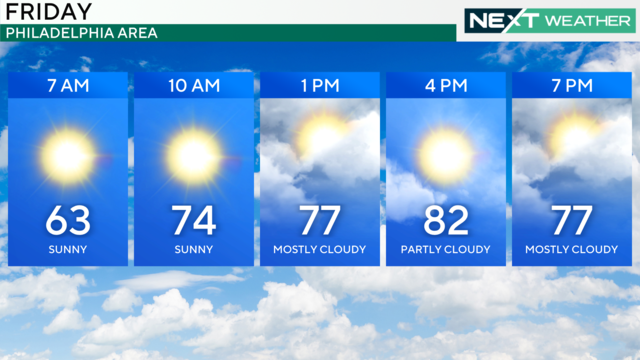
After a chilly start to Friday, temperatures rebound ahead of a warm front bringing us highs near 80 for this weekend around Philadelphia.
Watch CBS News
After a chilly start to Friday, temperatures rebound ahead of a warm front bringing us highs near 80 for this weekend around Philadelphia.

Thursday brings the coolest temperatures of the season to the Delaware Valley, with highs only reaching the low 60s. Overnight, a frost advisory is in effect for the region.
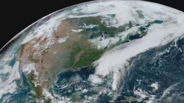
The Great Galveston Hurricane is known as the deadliest weather disaster in United States history, killing at least 8,000 people, with some estimates as high as 12,000 people.

The Philadelphia region can expect more seasonable fall temperatures this week.

A beautiful, seasonable October stretch is in the forecast this week in the Philadelphia area.

A cool pattern moves into the Delaware Valley this week with high temperatures only reaching the 60s and low 70s.

Expect a stellar Sunday with mostly sunny skies and highs in the low to mid 70s for much of the Delaware Valley – another great afternoon for baseball at Citizens Bank Park.

It's going to be a beautiful sunny and warm fall weekend with one or two spots possibly hitting 80° on Saturday. Gorgeous for the Phillies game.
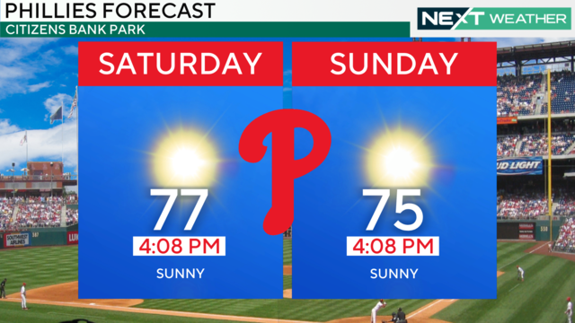
Friday in the Philadelphia region will top out in the mid-upper 70s and set up a beautiful weekend.
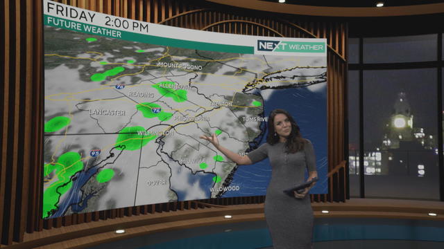
Thursday starts cloudy and turns sunny while Friday will do the opposite for us. Then we have a gorgeous, sunny weekend.
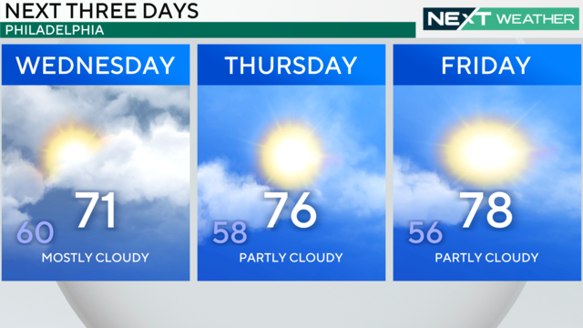
Sick of gray skies? Get ready, because cloud cover is going to break up to end this week and set the stage for gorgeous weekend weather around Philadelphia.
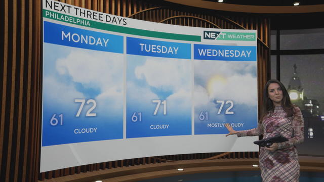
Skies will be mostly cloudy once again across the Delaware Valley and Philadelphia region Monday. A few breaks of sun are possible later in the day east of the city.
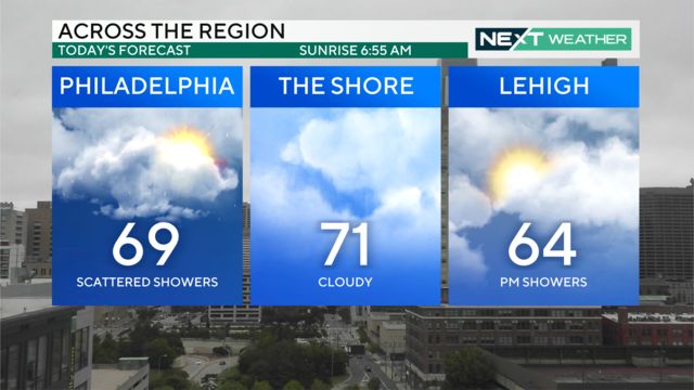
Sunday will be overcast with spotty showers throughout the morning and afternoon. A few steadier showers are possible overnight into Monday.
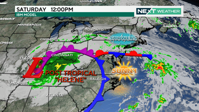
Saturday will be filled with gray skies and patchy fog with scattered showers. Temperatures sit in the mid-70s before dropping into the 60s later tonight.
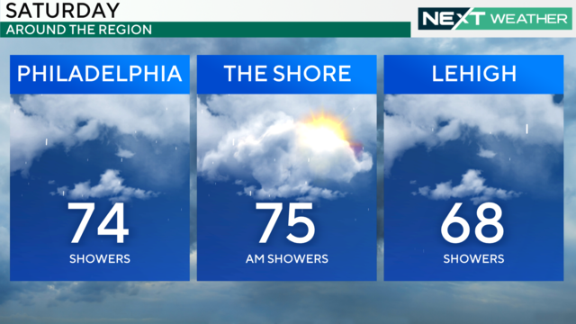
Mostly cloudy skies, off-and-on showers and humid conditions in Philadelphia on Saturday as the moisture from Helene heads this way.
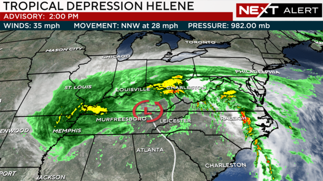
Friday morning fog has moved out before bands of showers from Tropical Depression Helene hit Friday night into Saturday.
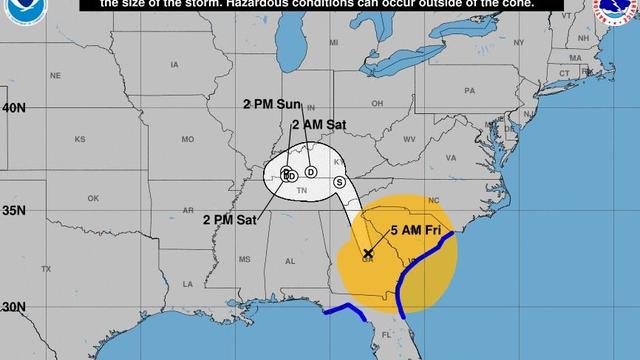
Maps show the areas impacted by storm surge, rainfall levels and more as Helene, once a major hurricane and now a tropical storm, moves inland from Florida's Gulf Coast over Georgia.
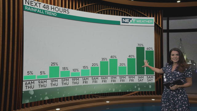
Expect some minor rain in the Philadelphia area, with more possible Friday into Saturday morning as Helene breaks up inland.
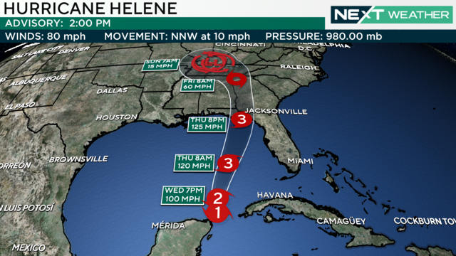
The Philadelphia region will get some much-needed rain on Wednesday and potentially even more this weekend as Helene breaks up inland.
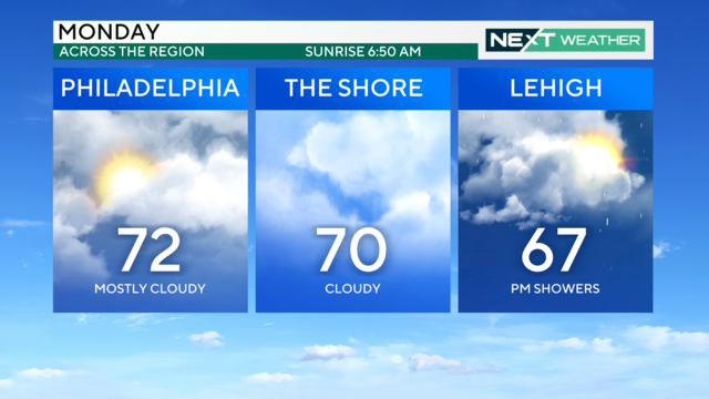
Mother Nature will make it look and feel like autumn, with highs in low the 70s over the next few days, and morning temperatures in the 50s and 60.
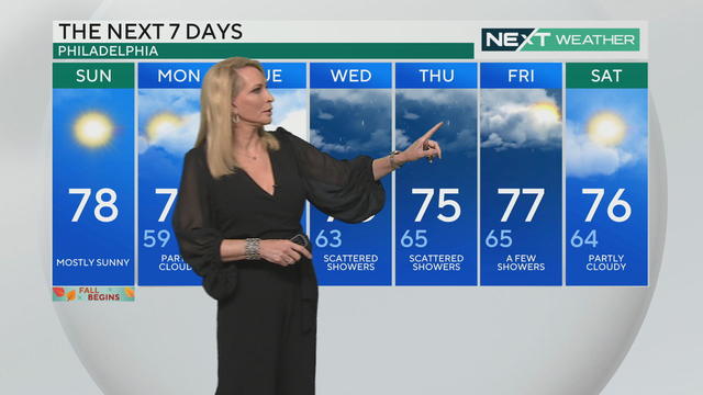
The first day of fall in Philadelphia will start out cloudy but turn sunnier as we head into the afternoon. Much-needed rain is also in the forecast for this week.
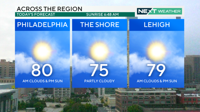
It'll be a very nice last day of summer across the area on Saturday with high temperatures in the low 80s followed by scattered showers and cloud coverage this evening.
The Philadelphia region can expect mostly dry weather this weekend with some chances for light rain.
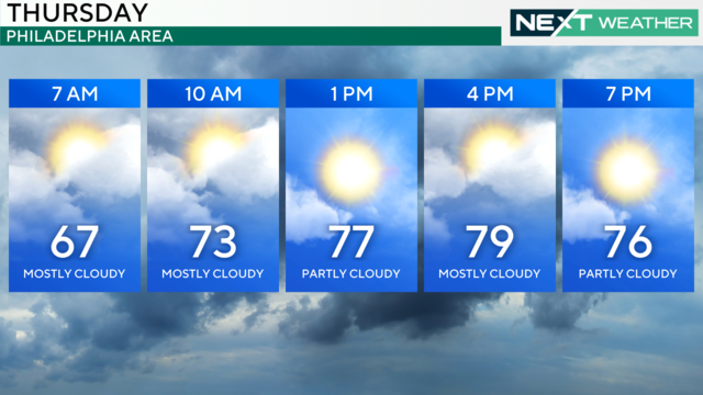
The region will see on-and-off cloud cover Thursday morning before the sun breaks through in the afternoon. Showers look to stay away Friday and into the weekend.
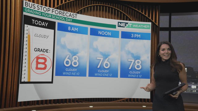
After a sunny stretch we're entering an overcast week in the Delaware Valley, with showers and even a few rumbles of thunder returning to the forecast.