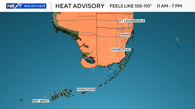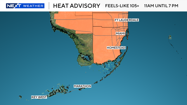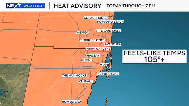
Miami-Dade, Broward under heat advisory as "feels-like" temps threaten to soar
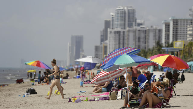
South Florida will wrap up the month of July with another scorcher.
Watch CBS News
South Florida will wrap up the month of July with another scorcher.
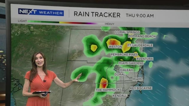
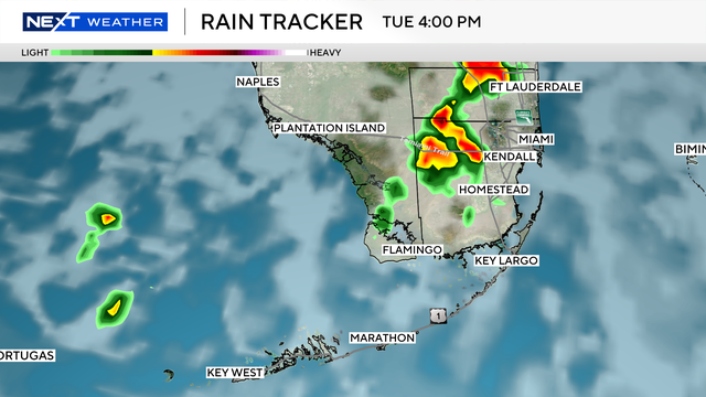
While the morning will be mainly dry, around midday and in the afternoon a few showers and storms will be possible.
The chance of rain is slightly higher with the potential for a few showers along the coast in the morning and some storms in the afternoon.
After a dry weekend, isolated morning showers will return along the coastal metro areas along with inland afternoon storms.
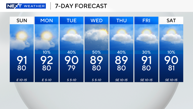
CBS News Miami's NEXT Weather Meteorologist Scott Withers has the latest 7-day forecast.
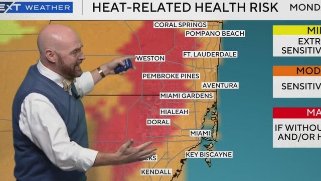
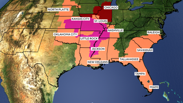
The National Weather Service issued heat advisories for a large swath of the East Coast through much of the weekend.
CBS News Miami's NEXT Weather Meteorologist Scott Withers has the latest 7-day forecast.
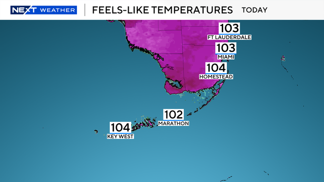
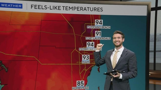
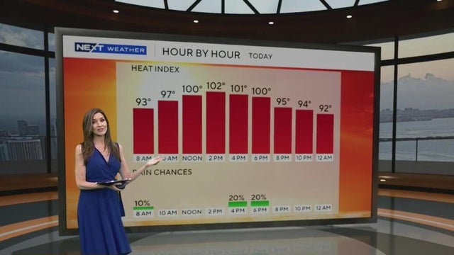
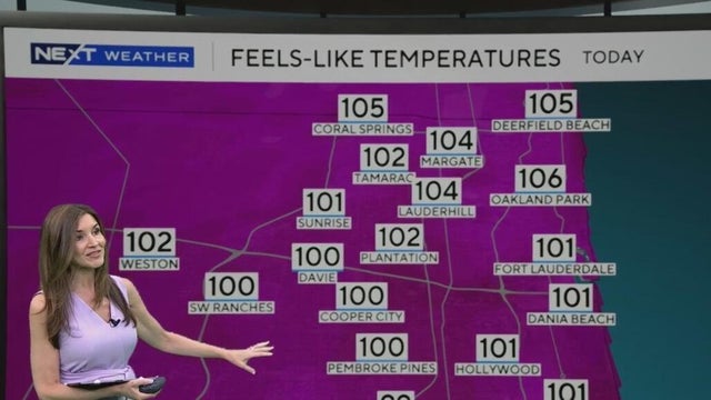
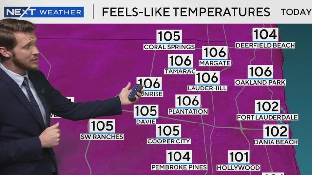
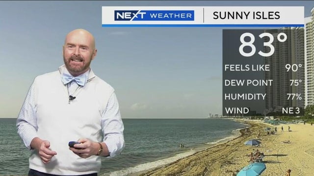
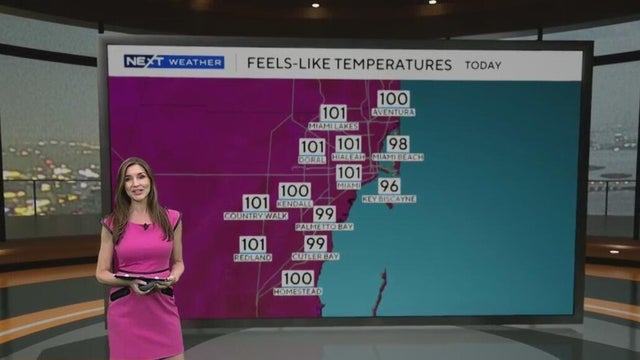
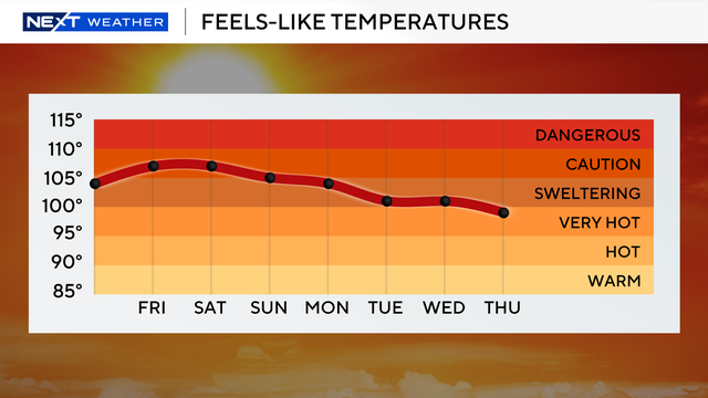
Afternoon highs will be in the low 90s, but the "feels like" temperatures will be in the low triple-digits.
The CBS News Miami NEXT Weather team helps to keep you ahead of the storm with location-based weather alerts.
The chance of rain will be highest in the morning through the midday hours.
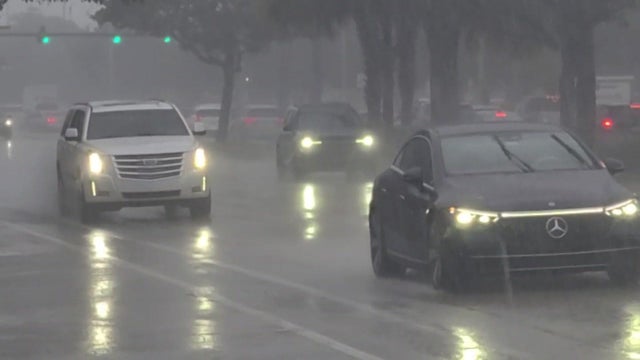
The National Weather Service said Miami-Dade is under a flood advisory until 11:45 a.m.
The current trends support expanding storms and significant rainfall across the region, according to CBS News Miami Chief Meteorologist Ivan Cabrera.
The rain returns over the next couple of days and brings some relief from the heat.
A heat dome is trapping over 90 million Americans in extreme temperatures this week with the National Weather Service issuing heat alerts from Nebraska to Florida.
While the National Weather Service has not issued a heat advisory, many people across the region will experience "feels-like" temperatures of 100-105 degrees.
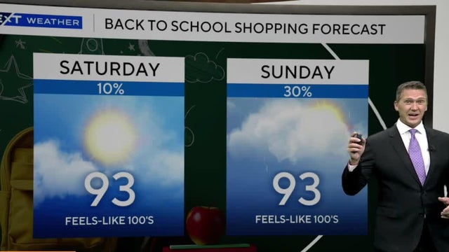
Those triple digit "feels like" temperatures will return on Sunday.
Afternoon showers will be steered inland and toward the West Coast due to an onshore breeze.
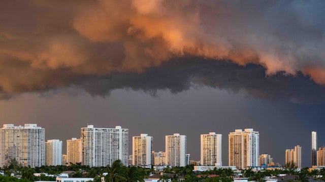
Some of the storms may produce heavy downpours.
South Florida remains unsettled with high chances of rain due to a disturbance moving across northern Florida providing plenty of moisture.
As storms failed to "pin" along the coastline, the worst-case scenarios did not develop.
A tropical trough moving across the Florida Peninsula will pull moisture across the state, leading to significant rainfall in southeast Florida.
The NEXT Weather Team is tracking a humid and rainy weekend, as a flood advisory was issued for Saturday until 6 p.m.
A warm morning will lead to another hot and humid day.
A new forecast from researchers at Colorado State University predicts the 2025 hurricane season will be busier than an average year.
There is a 20% chance for afternoon storms, but these will mostly remain inland and over the Everglades.