Widespread showers, thunderstorms across South Florida
Some of the storms may produce heavy downpours.
Watch CBS News
Some of the storms may produce heavy downpours.
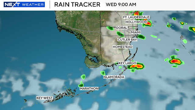
South Florida remains unsettled with high chances of rain due to a disturbance moving across northern Florida providing plenty of moisture.
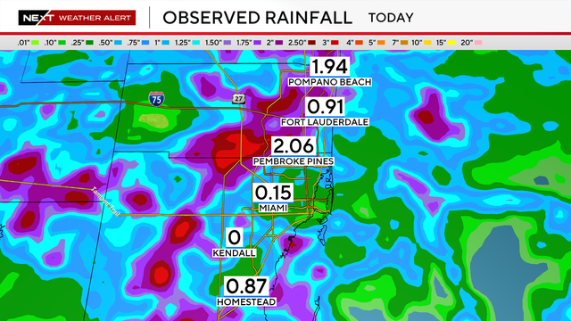
As storms failed to "pin" along the coastline, the worst-case scenarios did not develop.
A tropical trough moving across the Florida Peninsula will pull moisture across the state, leading to significant rainfall in southeast Florida.
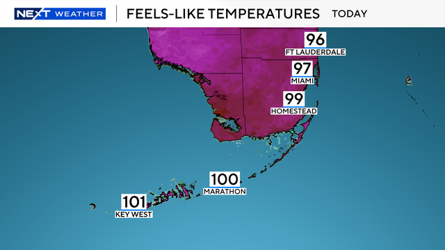
The NEXT Weather Team is tracking a humid and rainy weekend, as a flood advisory was issued for Saturday until 6 p.m.
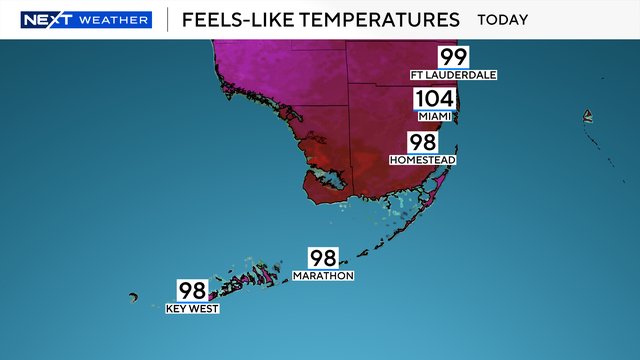
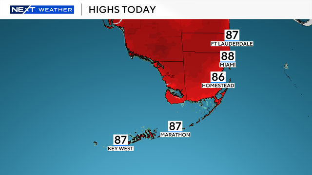
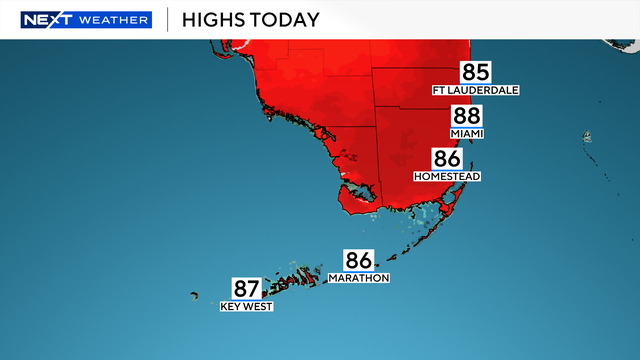
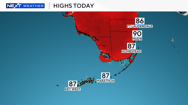
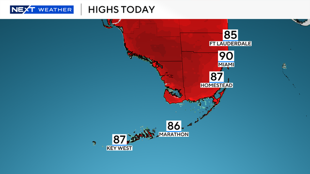
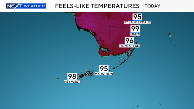
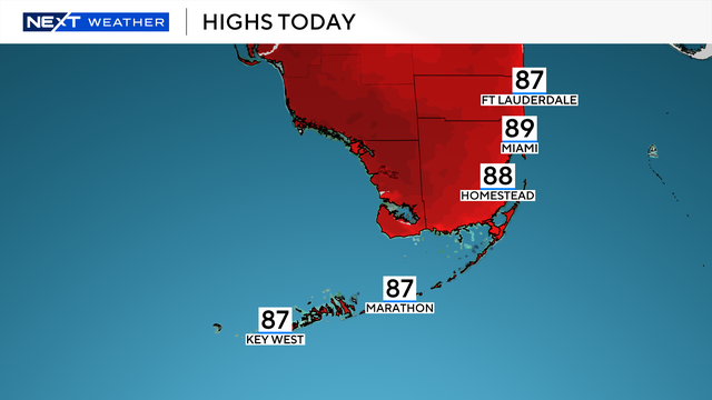
A warm morning will lead to another hot and humid day.
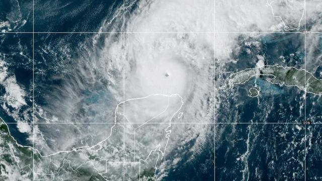
A new forecast from researchers at Colorado State University predicts the 2025 hurricane season will be busier than an average year.
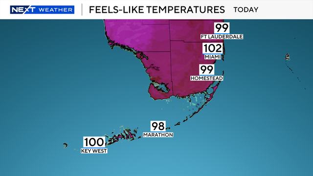
There is a 20% chance for afternoon storms, but these will mostly remain inland and over the Everglades.
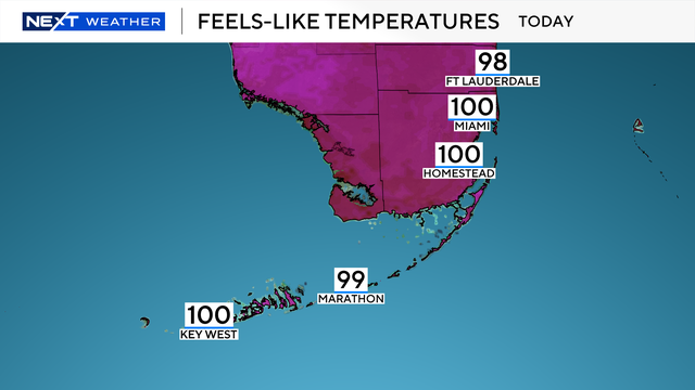
The rain won't be nearly as widespread as what happened over the holiday weekend.
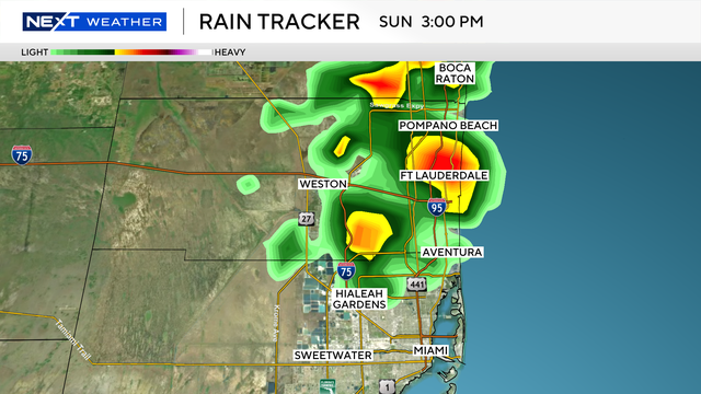
The NEXT Weather team is tracking a rainy afternoon across northern Miami-Dade and most of Broward Counties for Sunday.
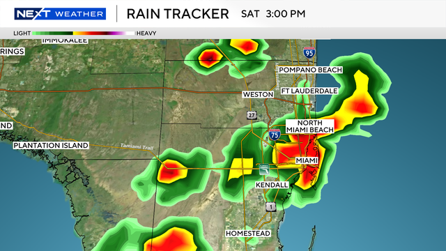
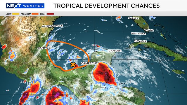
Storms are expected to happen up until 4 p.m. Chantal will have no impact on Florida.
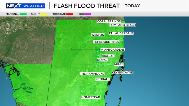
Scattered storms are expected to ease before Fourth of July fireworks in South Florida, but a lingering flood risk and weekend rain chances remain.
Some of the showers and storms may produce heavy downpours.
Disturbance in northern Florida will enhance potential for showers and storms across South Florida late week.
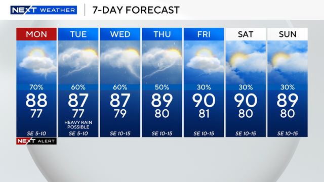
The chance of rain remains high on Wednesday and Thursday.
The chance of rain will increase on Tuesday through the rest of the week.
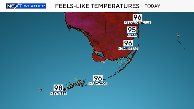
Sunday morning temperatures started in the 70s, but as the sun rose, they quickly jumped into the upper 80s.
The rest of the week we fall back into our regular summer pattern of afternoon storms and high humidity.
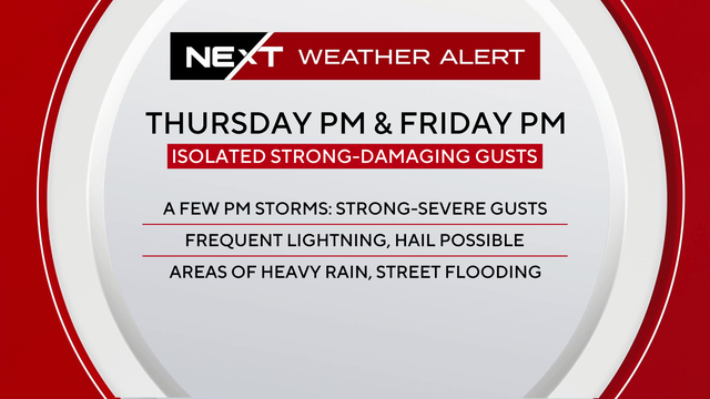
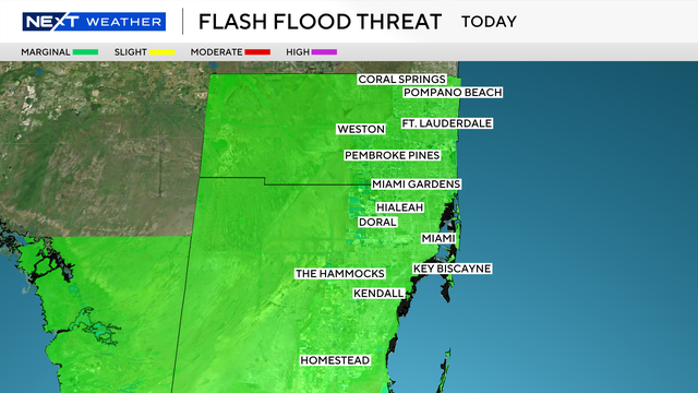
Slow moving storms may contain heavy downpours.
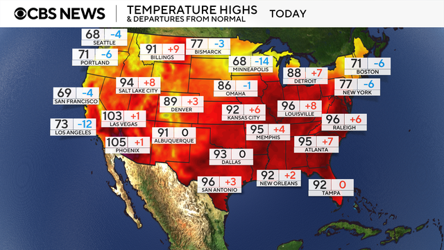
A brutal heat wave across the eastern United States trapped millions of people in sweltering air this week with record-high temperatures.
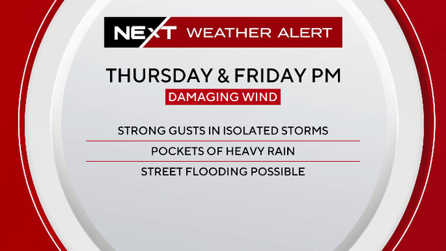
Slow moving storms may have heavy downpours which will increase the chance of isolated flooding.

Dozens of record high temperatures were set Tuesday across parts of the U.S., and it's not over yet.
A NEXT Weather Alert has been issued for Thursday and Friday due to the potential for heavy rainfall.
The chance of rain rises on Wednesday and Thursday.
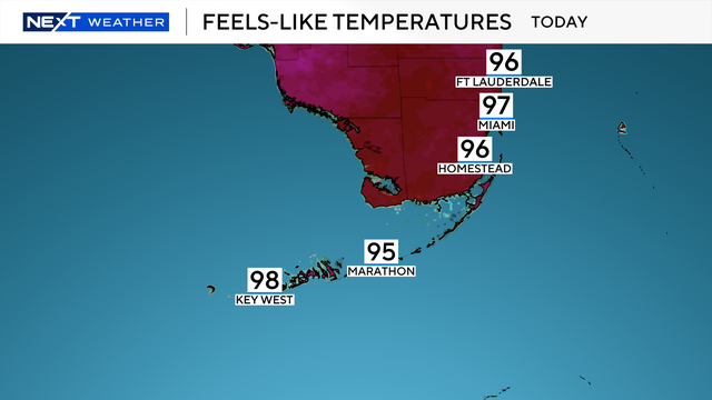
South Florida is in for a hot and humid week with highs near 90, inland afternoon storms, and dangerous rip currents along the Atlantic coast.