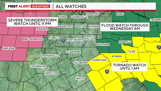
Weather Alerts are in effect for North Texas through Tuesday
Flooding threat could continue into Wednesday.
Watch CBS News
Flooding threat could continue into Wednesday.
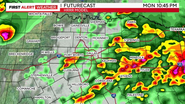
The main threat Monday evening will be large hail, but tornadoes and damaging winds are also possible.

Mostly cloudy skies for the eclipse Monday with some breaks in the cloud cover possible during the event.

Some breaks in low-level clouds are possible during the event. WEATHER ALERTS are in place for Monday afternoon after the eclipse into Tuesday.

High temperatures will climb into the low 70s this afternoon under sunny skies.

As we head into the weekend, we'll have to watch for some storms late Saturday/overnight into early Sunday morning.

Get ready for a cool morning on Wednesday! Some spots to the north will be in the low 40s!

As we move through this Tuesday, showers will continue pushing toward East Texas, giving way to a mix of sun and clouds in our area.

A Severe Thunderstorm Warning is issued for Kaufman, Van Zandt, Ellis, and Dallas counties until 9:45 p.m.
Storms will likely fire up after 4 p.m. this afternoon out west, then move east toward the Metroplex this evening.

CBS News Meteorologist Jeff Ray breaks down the possibilities ahead of the celestial event.

The atmosphere Monday is primed to produce large hail and damaging winds.

Large hail and damaging winds will be the main threats to kick off the workweek.

Friday was the warmest day we've had in two weeks, with Easter weekend temps even warmer.

We couldn't have asked for better weather – there's been abundant sunshine, temps are in the upper 60s and 70s, and the southerly winds aren't too strong.

It is a bit chilly this morning with temperatures in the 40s and wind chills in the upper 30s.

It is perfect baseball weather with afternoon temperatures climbing into the lower 70s with barely a cloud in the sky.

We're tracking a few thunderstorms today, then warmer weather for the holiday weekend.

There will be another cold start to the day Wednesday.
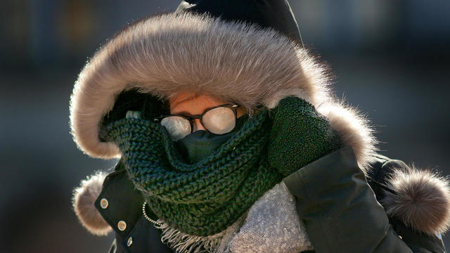
It's hard to believe it's spring!
Lots of sunshine Tuesday, and it'll warm up nicely into the low 60s.

As we move through this Monday, expect a few morning showers and isolated storms in North Texas.

A weather alert is in effect for Sunday night beginning at 7 p.m. and continuing into Monday morning.

Gusts throughout the day could get up to 45 mph.

Rain and storms are expected to move into the area late Sunday and into Monday.