Severe storms, hail and tornado threats continue in North Texas through the week
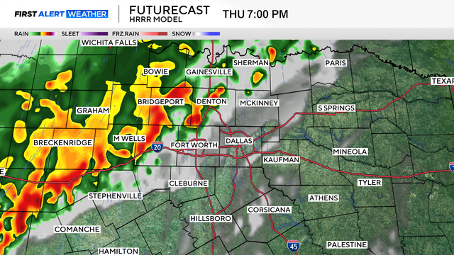
A severe thunderstorm watch is in effect through 8 a.m., including much of North Texas.
Watch CBS News
A severe thunderstorm watch is in effect through 8 a.m., including much of North Texas.
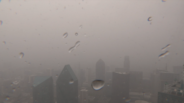
Several First Alert Weather Days are in place for multiple rounds of rain and storms in the forecast.
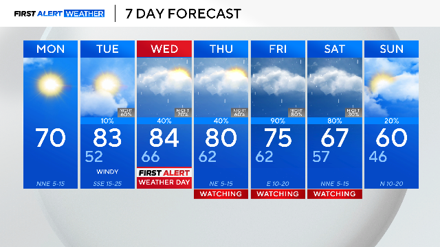
Monday in North Texas will be pleasant and beautiful but strong storms are ahead the rest of the week.
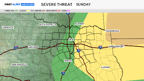
There is also a risk of severe weather late Saturday night as a dryline stalls over the Metroplex.

A First Alert Weather Day is in place for Friday due to more widespread rain in the forecast, along with some embedded thunderstorms.

Friday is a First Alert Weather Day due to the treat of severe weather on the southeast side of North Texas.

For Texas Rangers opening day, expect to see temperatures in the mid-70s with a couple of spotty showers in the forecast.

Tuesday looks to be the hottest day of the week.
North Texas is heading into the weekend with warmer temperatures and small rain chances.

On this spring morning, temperatures are colder than Wednesday morning by as much as 25-30 degrees.
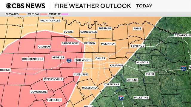
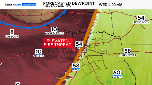
The elevated fire danger continues through the end of the week into the weekend.
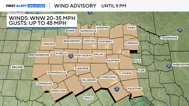
A wind advisory covers all of North Texas. It continues through 9 p.m. Wednesday.

Take precaution to not start wildfires and have a go kit ready if you are in the red flag warning area.
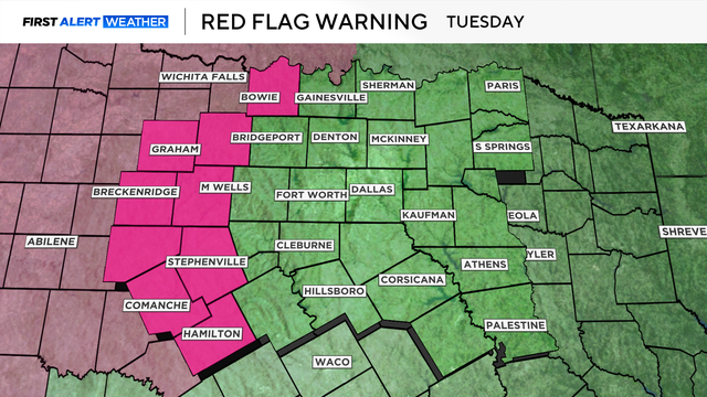
Outdoor burning is strongly discouraged, along with any activities that could generate a spark.
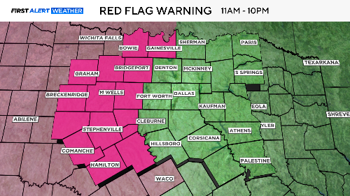
A red flag warning is in effect for counties to the west of Dallas-Fort Worth.
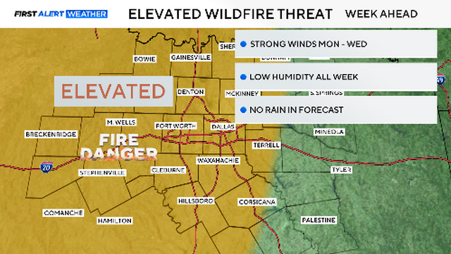
Red flag warnings were just south of us on Saturday. We could easily see these warnings return by Tuesday or Wednesday.

St. Patrick's Day on Monday will be golden with plenty of sunshine, mild winds and warm temperatures.
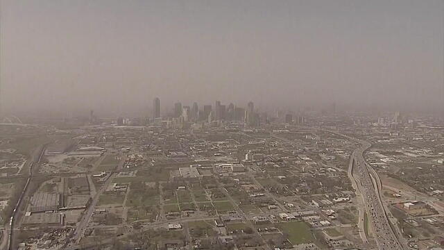
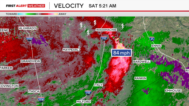
Wind gusts topped 80 mph for parts of West Texas.
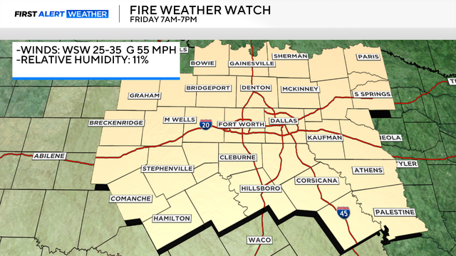
Thursday is the day to make sure any outdoor items are secure before a high wind watch and fire weather watch go into effect.
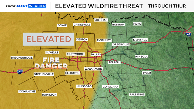
As we head into Thursday, it will be a dry day for the area, with highs in the middle 80s and breezy conditions.
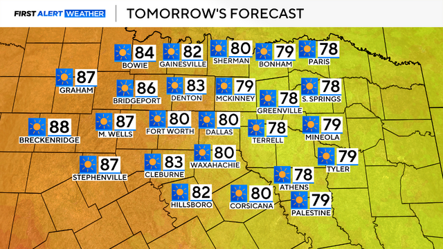
On Tuesday, highs are forecasted to reach the lower 80s, driven by a strong southerly wind.

Monday started off cold across North Texas, with temperatures in the 30s to 40s to start the work week.
Temperatures will be chilly early Sunday, but by afternoon, skies will clear and temperatures will climb back into the mid-50s.

Several weather warnings were in place early Saturday morning.

This is the weekend we turn the clocks forward. We lose an hour of sleep, but nighttime holds off until later on Sunday.