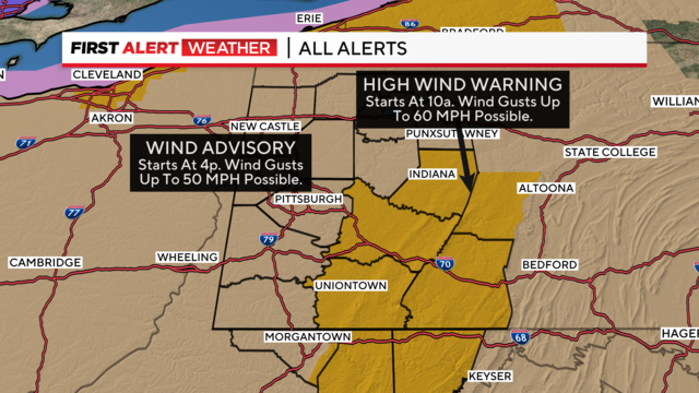
First Alert Weather: Wind warnings and advisories in place as next big storm rolls through
The high winds start today and temperatures begin falling as the coldest air of the year moves into place.
Watch CBS News
The high winds start today and temperatures begin falling as the coldest air of the year moves into place.
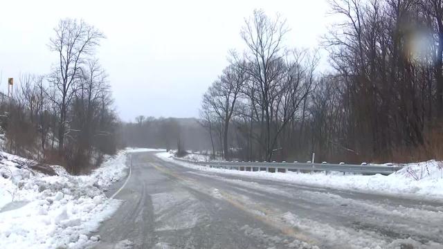
High-speed winds knock out power for thousands causing damage across the Pittsburgh area.
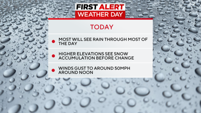
It's going to be rainy and windy. The morning hours will see temperatures cool enough for snow but our highs will be around 50 degrees today.
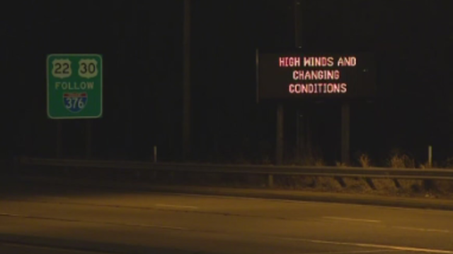
Depending on where you are can make a big difference on the conditions you'll face.

Tuesday has been declared a First Alert Weather Day due to strong winds and plenty of rain.
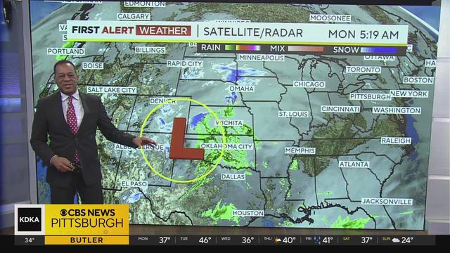
Get the latest weather update from First Alert Meteorologist Ron Smiley!
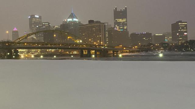
It's going to be cold overnight, and all those wet roads could turn to ice, making roads deceptively slick.
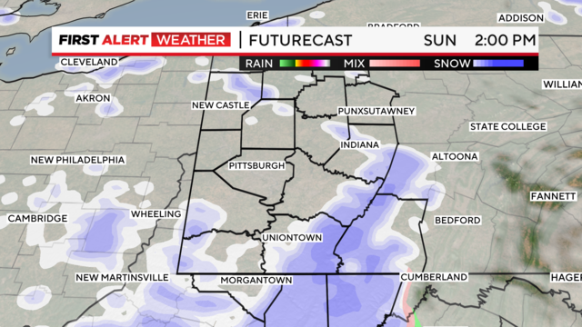
The worst of the snow associated with today's winter storm system is exiting to the northeast, and the rest of the weekend will be much calmer than Saturday has been.
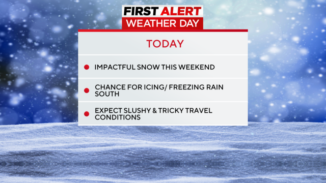
Snow, rain, wind, and ice have made it a First Alert Weather Day.
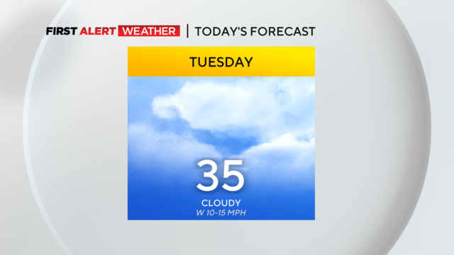
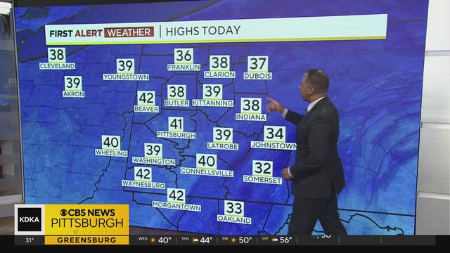
Wednesday will be the 'warmest' day of the week with highs hitting 39 degrees.
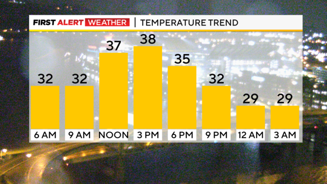
While it won't be widespread, slick spots are certainly possible this morning.
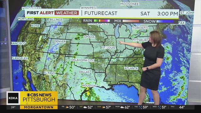
Get the latest weather updates from First Alert Meteorologist Falicia Woody!
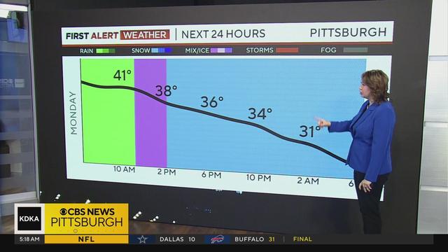
Get the latest weather updates from First Alert Meteorologist Falicia Woody!
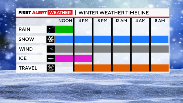
The day will start off with some light rain showers, but as the cold air rushes in midday, this will switch it over into snow showers.
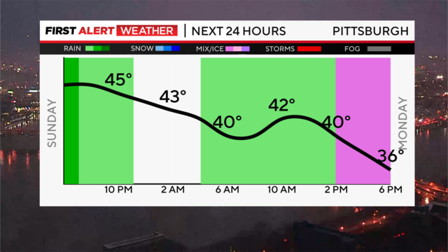
Rain tapers to some showers tonight, and temperatures stay mild in the upper 30s by morning.
Get the latest weather updates from First Alert Meteorologist Ron Smiley!

Pittsburgh once again has missed out on another decent chance for snow with moisture staying away until the system hits the Ridges and Laurel Highlands.

Get the latest weather updates from First Alert Meteorologist Ron Smiley!

Get the latest weather updates from First Alert Meteorologist Ray Petelin!

Snow will start adding up tonight and should be done by Monday.
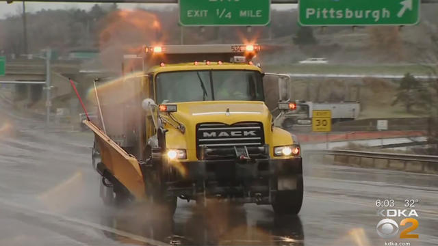
With the reality of winter right around the corner, it's important to stay updated on possible rain, snow and ice in the future.
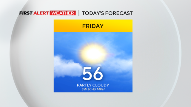
We're going to have some warmer temperatures today and Saturday but the winter weather moves in Sunday.

It's not going to be too pleasant for those stuck outside for extended amounts of time today.
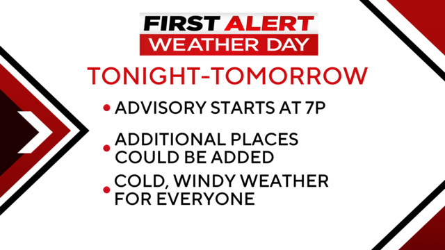
Today and tomorrow will be the coldest of the season so far.
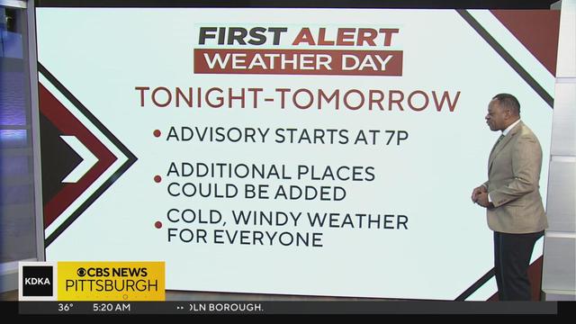
Get the latest weather updates from First Alert Meteorologist Ron Smiley!