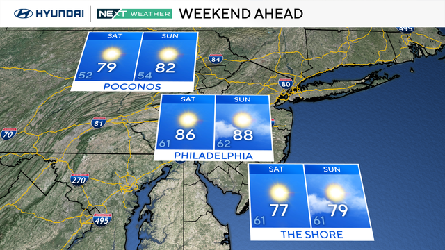
Sunny weather in the Philadelphia region, rip current risks along Jersey Shore
There will be plenty of sunshine and comfortable conditions as temperatures on Saturday morning start in the upper 50s and low 60s.
Watch CBS News
There will be plenty of sunshine and comfortable conditions as temperatures on Saturday morning start in the upper 50s and low 60s.
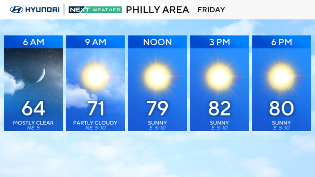
Friday is shaping up to be a fantastic day weather-wise in the Philadelphia area with tons of sunshine.
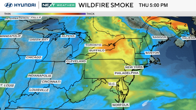
The Philadelphia region can expect a warmer, brighter Thursday and a nice weekend.
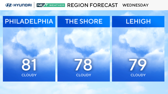
The temperatures on Wednesday in the Philadelphia region should only top out in the upper 70s and low 80s.
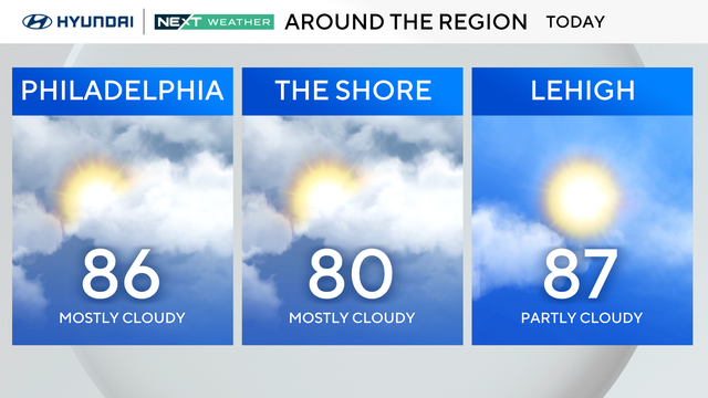
Tuesday stays warm and dry, with highs in the upper 80s and a bit more humidity under mostly cloudy skies in the Philadelphia region.
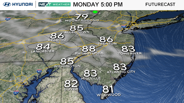
Monday brings sunshine, low humidity and highs in the upper 80s to the Philadelphia area, with a few spots near 90.
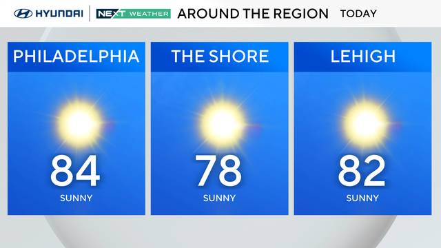
The region will remain dry and calm through at least Tuesday, with cool nights and plenty of sunshine to start the week.
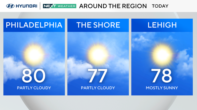
It's a spectacular weather Saturday in Philadelphia! Expect sunny and pleasant conditions with some afternoon clouds and low humidity.
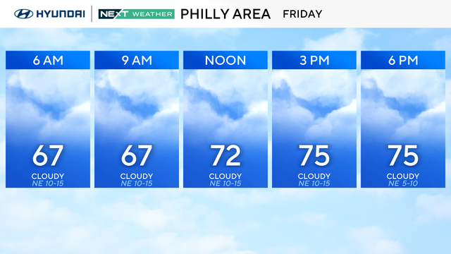
August starts Friday with breezy northeast winds, mostly cloudy skies and stray showers in the Philadelphia region.
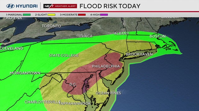
A tornado warning for parts of South Jersey expired as heavy storms are moving through the Delaware Valley.
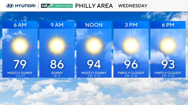
Record-setting temperatures are possible once again Wednesday in the Philadelphia area before storms on Thursday.
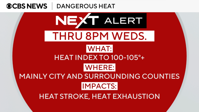
The weather in Philadelphia is set to get hotter on Tuesday as the fifth heat wave of the summer continues.
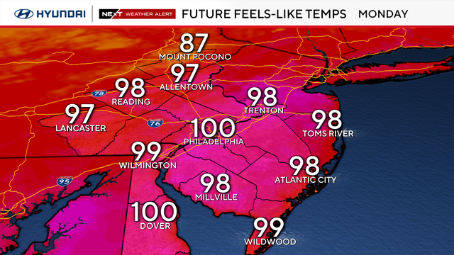
The Philadelphia region is in the middle of another heat wave as temperatures will hit a high of 95 degrees on Monday.
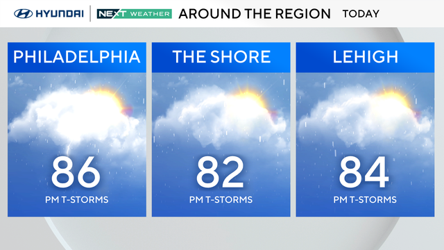
You'll want to keep the umbrella handy, too, because scattered showers and storms develop between 2 p.m. and 4 p.m., moving west to east, and ending before 9 p.m.
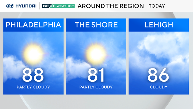
Saturday will have a mix of sun and clouds. Expect seasonable temperatures with high humidity. Stray afternoon showers are possible.
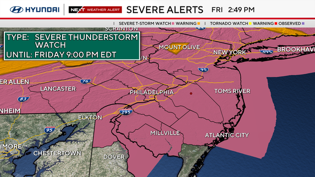
Friday is a NEXT Weather Alert Day in the Philadelphia region due to the heat and chance of severe weather.
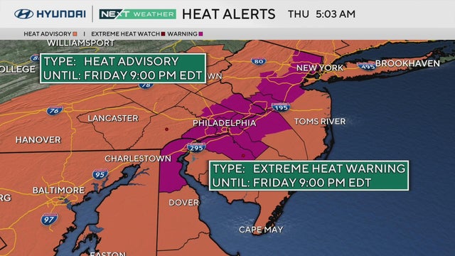
This week ends with weather alerts for heat in the Philadelphia region after a nice mid-July break.
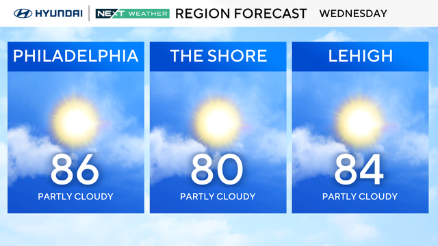
Wednesday will be another beautiful and mild day for July around the Philadelphia region with lows in the 60s during the morning and daytime highs in the mid-80s.
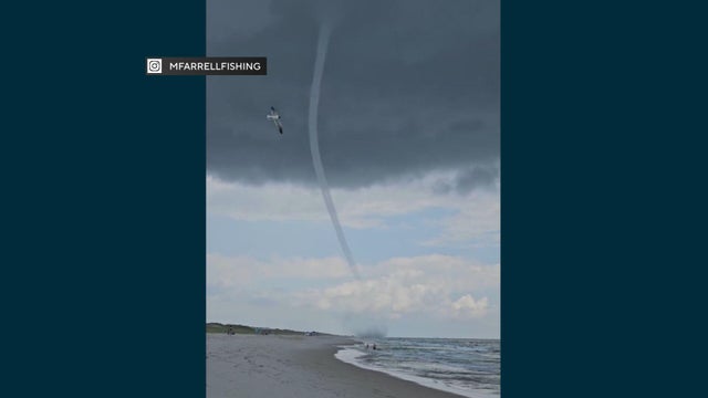
At least one waterspout was spotted on video near Island Beach State Park at the Jersey Shore.
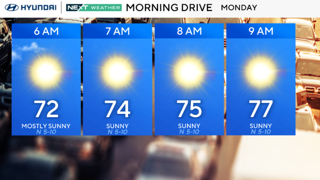
Some of the nicest days of the summer so far are in the forecast for Philadelphia this week.
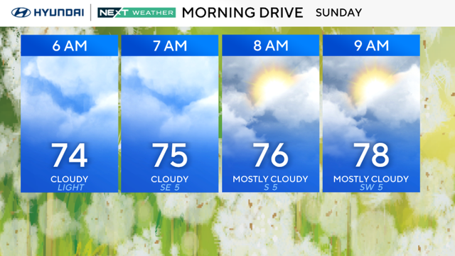
Sunday will give us mixed skies with a trend for much more sunshine than Saturday. We cannot rule out an additional shower or rumble.
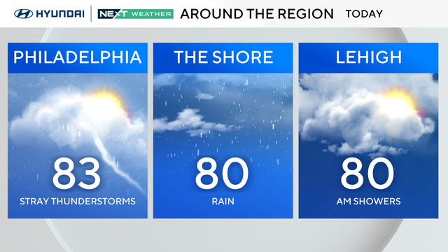
Saturday will be mostly cloudy and muggy with isolated showers and storms in the region.
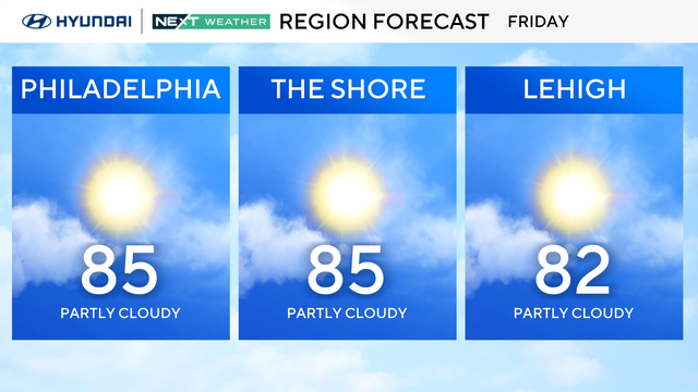
Friday in the Philadelphia region is looking dry and considerably less humid than yesterday.
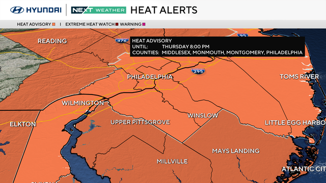
A NEXT Weather Alert is in place Thursday in the Philadelphia area because of feels-like temperatures that will soar to near 105 degrees.
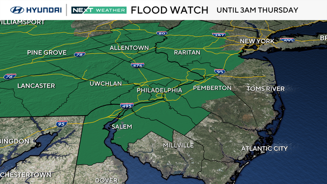
A flood watch has been issued for most of the area, excluding the Jersey Shore counties, from 3 p.m. today until 3 a.m. Thursday.