NEXT Weather: 5 a.m. forecast from March 27, 2024
Meteorologist Joseph Dames has the latest forecast.
Watch CBS News
Meteorologist Joseph Dames has the latest forecast.
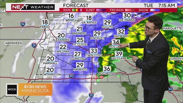
Roads in Minnesota will continue to be slow and slick Tuesday evening into Wednesday morning.

Messy road conditions continue Tuesday as rain turns back to snow in the Twin Cities.
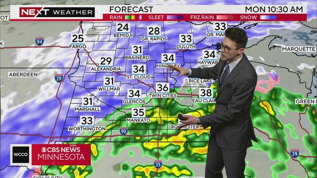
WCCO meteorologist Chris Shaffer says a Winter Weather Advisory has been added including the metro area until Tuesday morning. The wind will pick up and the raindrops many have seen Monday will change back to snow.
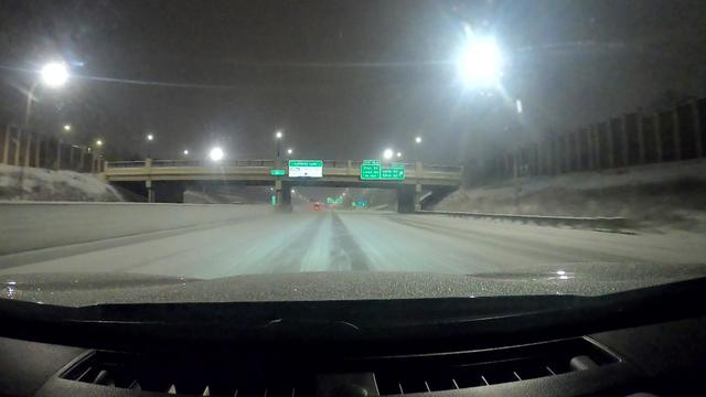
There were hundreds of crashes on Minnesota's roads during a spring snowstorm Sunday and Monday, authorities said.
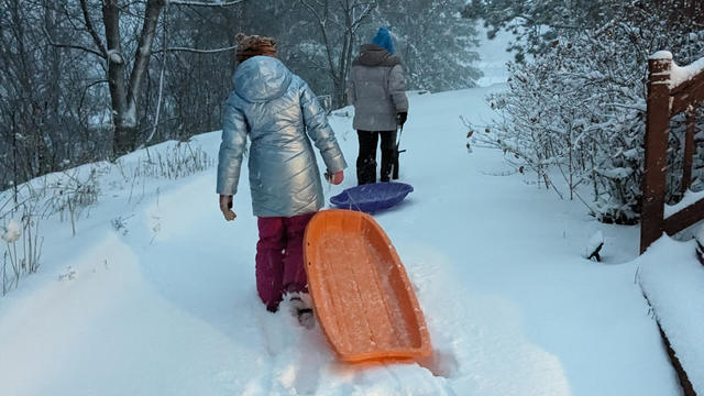
Many Minnesotans are waking up with more than half a foot of snow outside their window Monday morning.
Meteorologist Joseph Dames has the latest forecast.
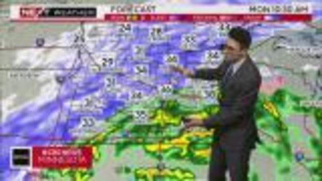
Meteorologists Adam Del Rosso and Joseph Dames have the latest forecast updates on this NEXT Weather Alert day.
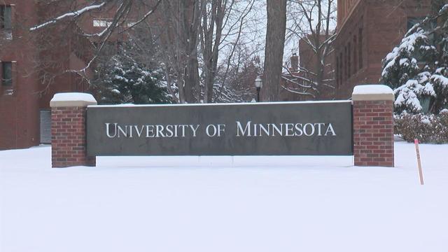
The University of Minnesota is "implementing reduced operations" Sunday amid a spring snowstorm expected to drop multiple inches on the Twin Cities.
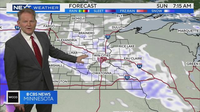
The first of two wintry weather systems is now beginning to taper off Friday morning after leaving plowable snow for a large swath of Minnesota. Some areas reported over 8 inches of snow. Here's a look at snowfall totals.
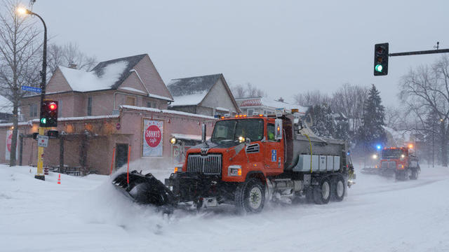
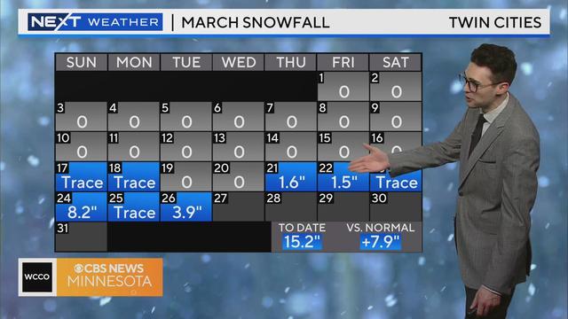
The Twin Cities could get half or more of the season's current snowfall total by Tuesday. Here's what we know so far about both storms and potential snow totals when it's all said and done.
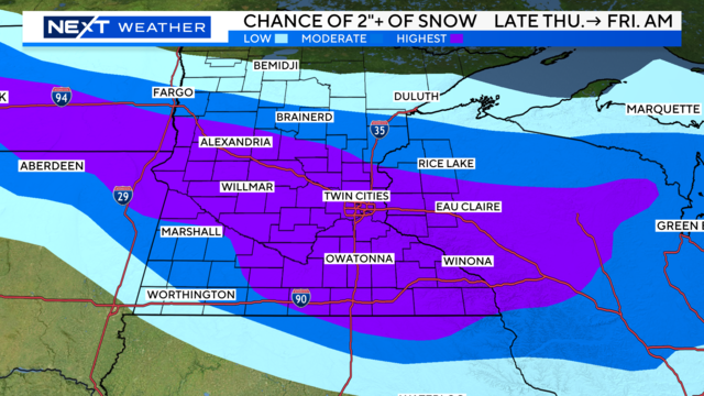
WCCO's NEXT Weather team is following a major weather pattern change that could bring a couple rounds of significant snow to Minnesota Thursday into Friday and early next week. It could end up making March the snowiest month of the season for the Twin Cities.
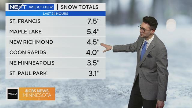
Meteorologist Joseph Dames has the latest forecast and Pauleen Le looks at traffic conditions during a NEXT Drive Alert.
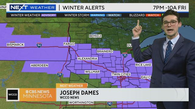
Meteorologist Joseph Dames has the latest forecast. CLICK HERE for more.
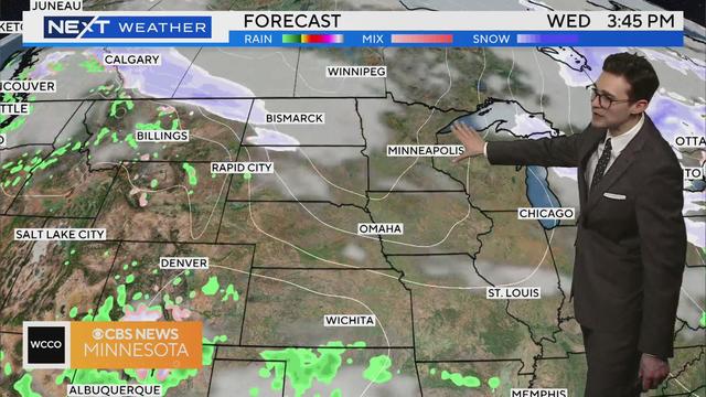
Meteorologist Joseph Dames has the latest forecast.

Highs in the Twin Cities will push 50 degrees Tuesday as stronger winds escort in warmer air, just in time for the official start of spring.
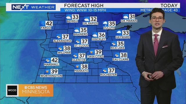
After a cold and breezy weekend, Monday will be slightly warmer.
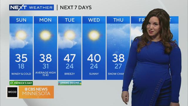
It'll be a chilly St. Patrick's Day on Sunday, and the wind will make it feel even colder.
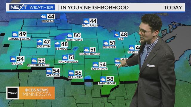
Meteorologist Joseph Dames has the latest forecast.
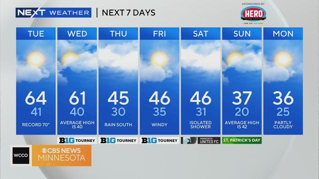
A very mild morning will lead to another warm day in the Twin Cities, while other parts of Minnesota are still dealing with fire weather concerns.
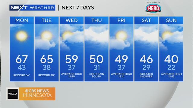
The Twin Cities will likely see record warmth Monday, while southwestern Minnesota will deal with fire weather concerns.
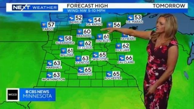
Meteorologist Lisa Meadows has the latest forecast.
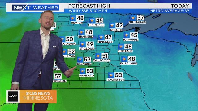
Sunshine will be plentiful on Sunday, and highs will climb into the 50s in the Twin Cities.
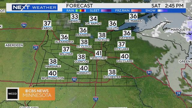
Saturday will bring lots of sunshine and breezy winds to the Twin Cities.
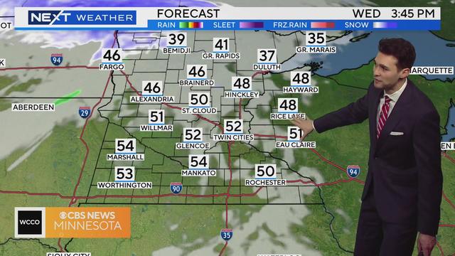
Highs will climb into the 50s in the Twin Cities on Wednesday, though it will be windy and cloudy at times, too.