Chicago First Alert Weather: Sunshine returns as warmup takes effect
Tuesday starts off chilly, but temperatures will gradually climb to the low 50s.
Watch CBS News
Tuesday starts off chilly, but temperatures will gradually climb to the low 50s.
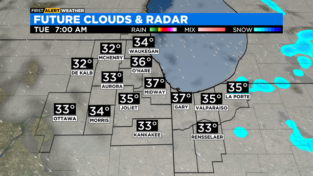
Scattered areas of light rain and snow flurries are expected Monday evening with temperatures in the mid- to upper 30s.
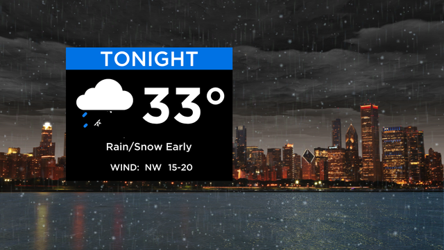
Despite the chill of the early part of the week, there's a big warmup on the way for the weekend.

A wet start to the week.

Rain and snow showers are possible Monday.

Cooler than normal on this Easter Sunday. Sunshine starts the day but clouds increase as the day goes on.

Saturday night will be partly cloudy with low temperatures near freezing.

Temperatures on Saturday and Sunday will be about 10° below "normal" which is 59°.

Friday's temperatures will be in the low 50s.
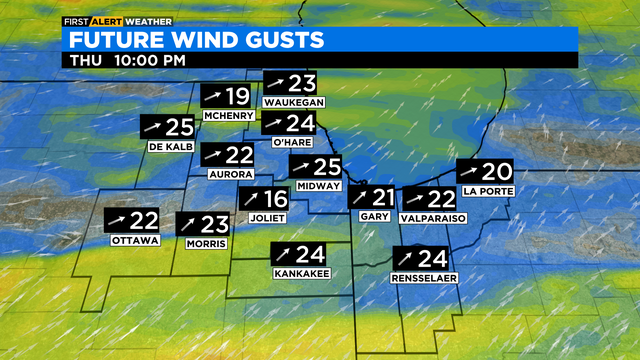
Lighter winds for Easter Sunday with highs in the upper 40s. An east wind will keep temperatures in the low 40s along the lake. Showers possible Sunday evening.

Thursday's temperatures will be in the low 50s.
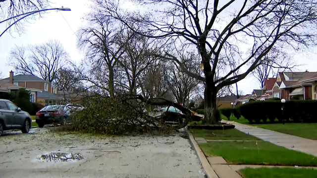
Scattered showers will persist through the evening.

There is chance for scattered showers and isolated thunderstorms Tuesday evening.

It's going to be a beautiful day for fans watching the White Sox Home Opener!
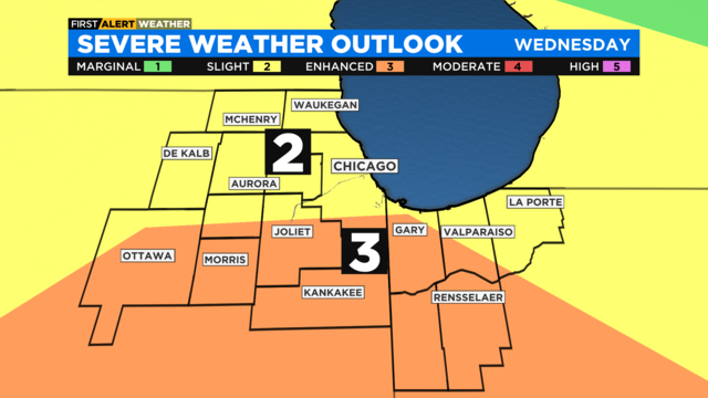
Damaging winds are the primary threat, but isolated tornadoes cannot be ruled out.

Monday's high temperatures will be in the low 60s with mostly cloudy skies.

Sunday night brings a few showers and some possible thunder.

Today's temp has been bumped up a bit and I don't hear any complaints. With sunshine, we expect a high temp right around 60 at ORD.

A warmup is on the way, but it's bringing showers and storms.

Mostly cloudy with a high in the middle 40s.
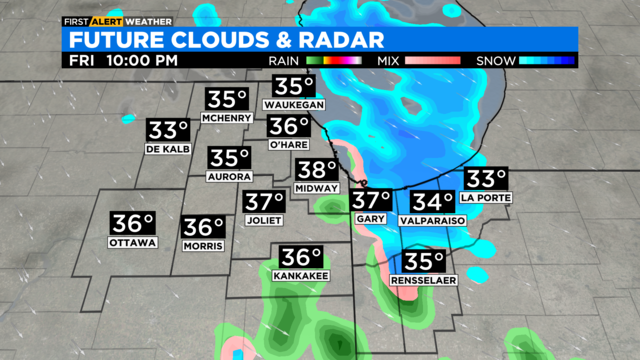
Isolated areas of a light snow are possible overnight. Lows will be in the low 30s.

CBS 2 meteorologist Laura Bannon is tracking snow showers approaching the Chicago area.
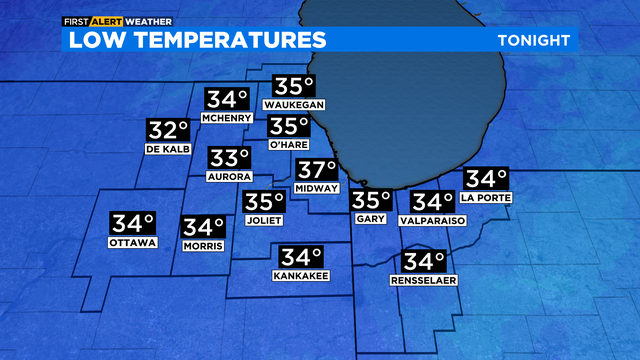
Patchy rain this evening, then a slight chance for a rain and snow mix overnight. Lows in the mid 30s.
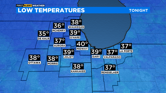
Breezy tonight with patchy showers possible. Lows in the mid to upper 30s in most locations.
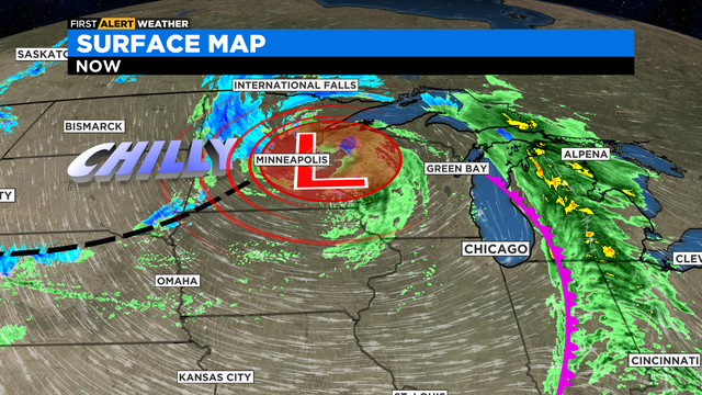
The first front moved through Chicago overnight with rain. Now the second part of the system will pull colder air into our area for the next few days.