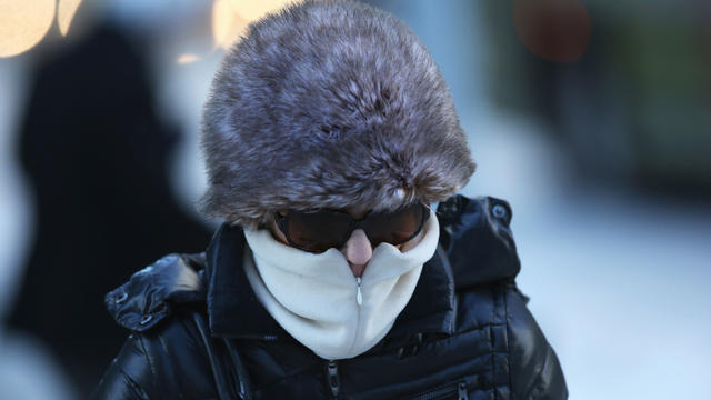
Another Arctic blast is on the way to North Texas
Another Arctic blast is headed our way just in time for the weekend.
Watch CBS News
Another Arctic blast is headed our way just in time for the weekend.

The biggest cold front has come and gone in North Texas, but now Dallas - Fort Worth is seeing the ripple effect from the winter weather.
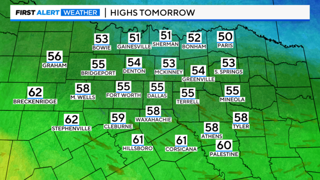
We'll get highs in the 50s before another cold front knocks us back down into Friday followed by a rainy forecast next week.

It will still be cold Wednesday morning but above freezing by midday.
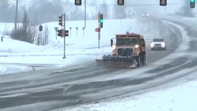
As a cold front settles in nationwide, emergency medicine experts weighed in on how to prepare for dangerous temperatures.

We're tracking more dangerously cold weather before we briefly warm up.
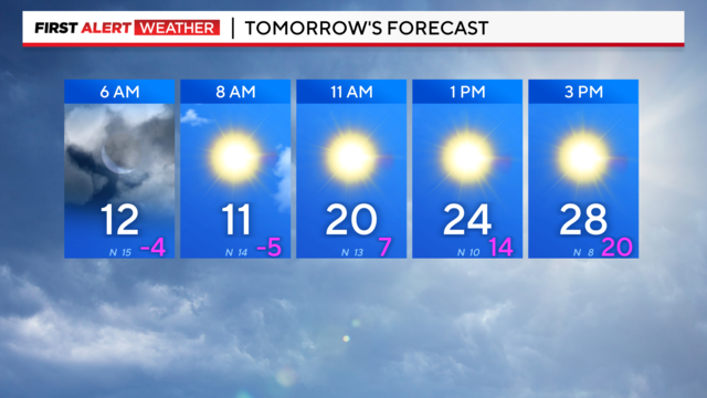
Another bitterly cold morning is ahead as we stay below freezing until mid-morning Wednesday.

Whether there is snow on the ground or not, kids everywhere are excited for one more day to play, and parents are just happy their kids are staying safe.
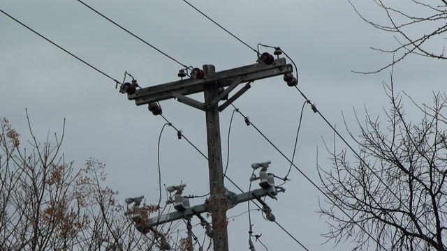
ERCOT had requested that electricity use be preserved from 6 a.m. – 10 a.m. Monday. Atmos also asked customers to conserve natural gas.
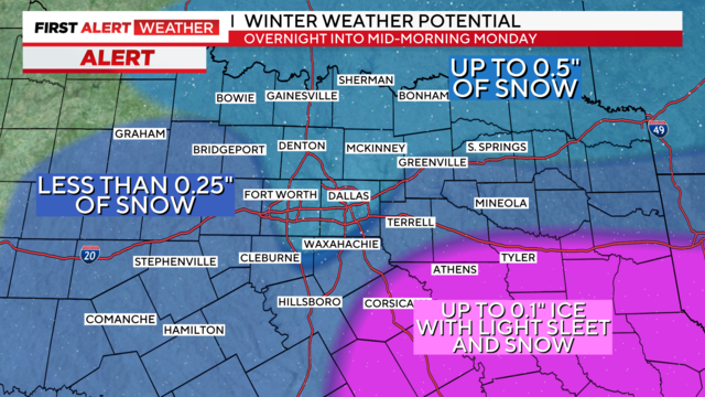
It has been a brutally cold day. So cold, in fact, we've had to adjust our forecast a bit…
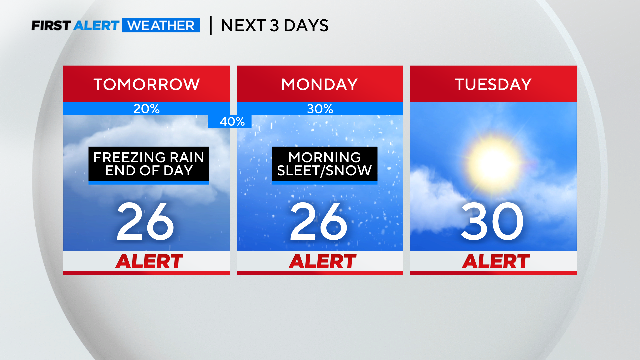
Weather Alerts start Sunday morning and continue into Tuesday.
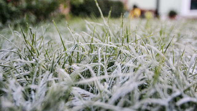
An Arctic blast will be keeping temperatures below freezing for 80+ hours. We don't warm back up until Wednesday.

The arctic blast is expected to hit North Texas Saturday night, which gives people less than 24 hours or so to prepare for the dangerously low temperatures.
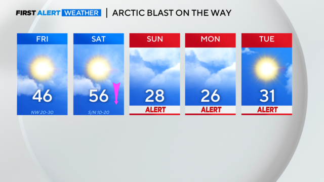
Some strong storms are possible overnight Thursday into Friday before Arctic air arrives this weekend and the potential for ice/snow Sunday night into Monday.
ERCOT is issuing a notice ahead of extremely cold weather coming to North Texas 1/15-1/17.
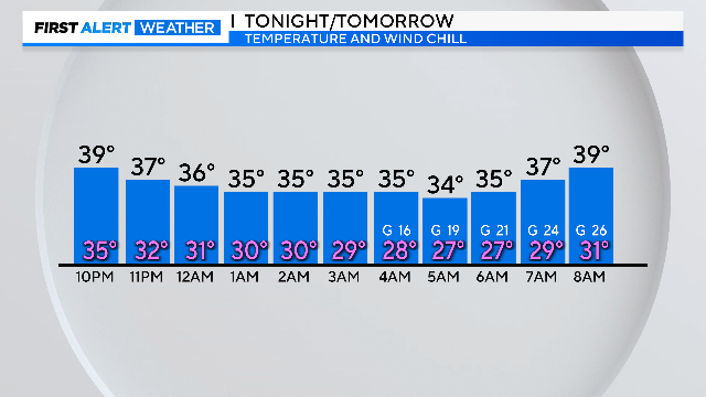
There is another cold morning ahead, a couple warm days, and another round of rain Friday as it turns colder again.
We're tracking bitterly cold weather today and even colder weather by the end of the week.
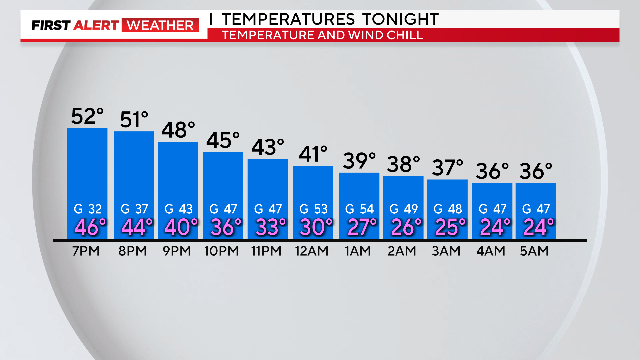
Bundle up! Tuesday morning wind chills will be in the teens and low 20s.

Weather alerts are posted for today and Tuesday, primarily for strong, gusty winds and bitterly cold wind chills tonight into Tuesday morning.
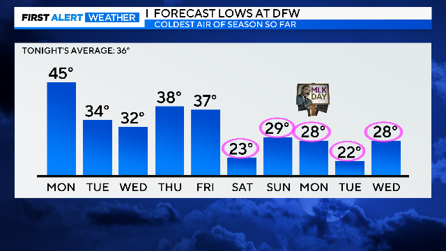
Expect rain and storms the first half of the day Monday, then a powerful wind overnight into Tuesday drops the temperatures.

Breezy sunshine on Sunday, a windy rain/storm event on Monday, and a big, cold wind on a Tuesday winter morning.
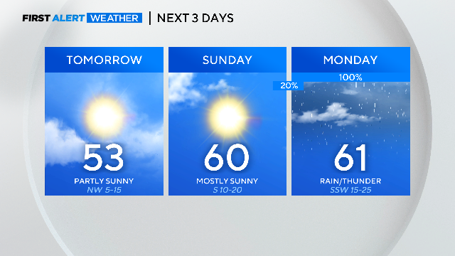
Rain closes in quickly on Sunday night.
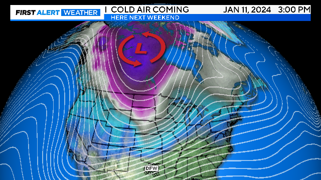
It will be a clear weekend but the coldest air of the season could be on the way.
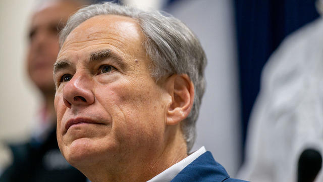
Governor Abbott has placed several emergency response resources on standby ahead of the arrival of the coldest air of the season.
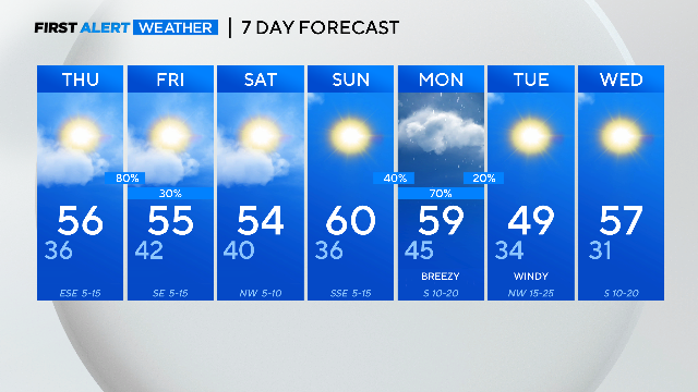
We're riding a rollercoaster of rain as we look forward to nearly half an inch of rain Thursday, with more rain expected Monday.