Temperatures in the Pittsburgh area will be mild today ahead of scattered rain chances later in the week
Clouds will be on the increase through the mid-morning to mid-afternoon hours from south to north across our area.
Watch CBS News
Clouds will be on the increase through the mid-morning to mid-afternoon hours from south to north across our area.

Monday will also begin mostly sunny with some clouds moving in later in the day, but it will also continue to remain very dry.

Temperatures today will remain in the mid-80s and the sunny conditions stay right with them.

2024 is the fifth-fastest year we've hit 100 days of temperatures of 80 degrees or higher.

Through the weekend, we'll continue to have warm and sunshine in the Pittsburgh area.

If you've been enjoying the warm and sunny weather - it's not going anywhere!

Today will likely be the 'coolest' of the next week with highs in the low 80s and morning lows in the mid-50s.

Isolated rain will be possible for places along I-80 briefly right after sunset tonight through around midnight.

If you're a fan of sunshine and warmth, this upcoming week is for you!

Highs today will struggle to reach into the mid-60s and we could see some more rain in spots.

We often perceive the sun to be yellow, but is it actually?

If you're heading out to watch high school football tonight - don't forget the umbrella!

We'll have one more day of sunshine and pleasant temperatures but rain is on the way.

Our pleasant weather continues on Wednesday and it adds to what has been a hot year in 2024.

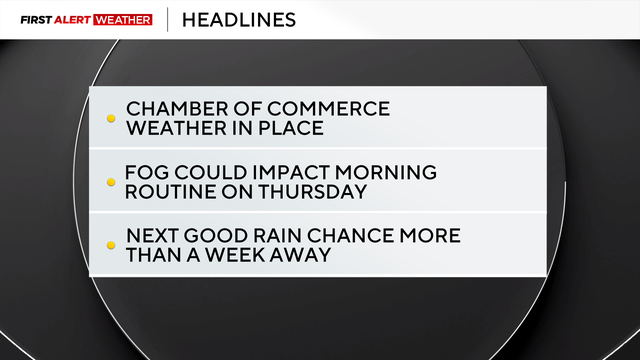
There's little rain expected to arrive in western Pennsylvania over the next two weeks.

If you're ready for a break from the punishing heat and humid of late summer, you will get it starting this Labor Day.

Today has been a huge contrast from yesterday's thunderstorms and severe weather.

We've all put popcorn kernels on the stove or in the microwave, but why and how do they pop?

Some scattered thunderstorms are possible this afternoon.

We're in for the fifth straight day of 90-degree temperatures, the longest stretch of such highs this year.

A broken line of storms is moving across Western Pennsylvania and we could see storms into the evening.

The short answer is both terms are different and describe different things about moisture in the air.

While most of the day will be dry and hot, storm chances could roll in around 5 p.m. for some places.

After a quiet stretch of weather stretching over a couple of weeks, things will begin to turn active starting Wednesday.

A lack of rain is having a larger-than-normal impact on our region.