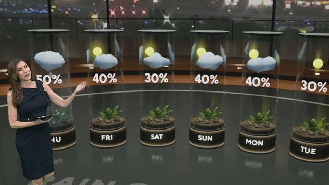
Heavy rain, localized flooding possible Thursday afternoon across South Florida
Thursday's forecast will be very similar to the last few days with some sunshine to start and scattered storms developing in the afternoon.
Watch CBS News
Thursday's forecast will be very similar to the last few days with some sunshine to start and scattered storms developing in the afternoon.
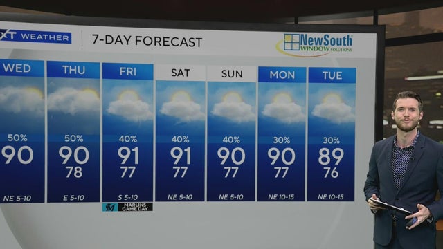
Some isolated locations could reach 90 degrees as rain chances decrease.
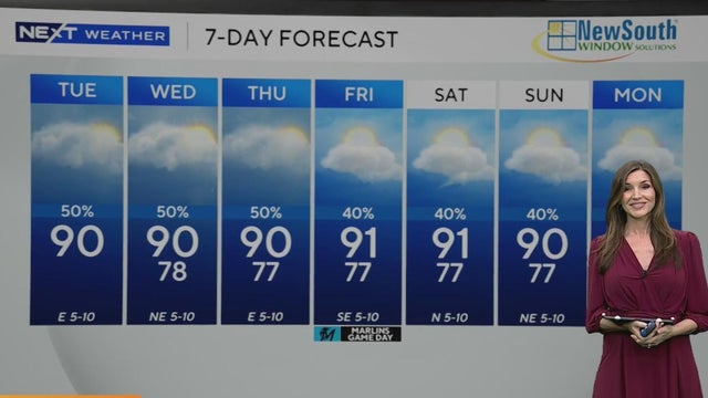
Some heavy downpours and localized flooding will be possible.
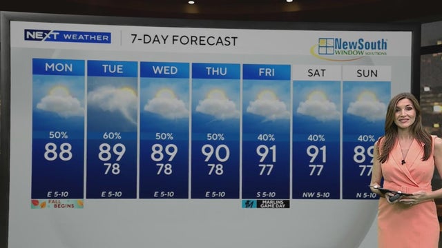
Highs climbed to the upper 80s Monday afternoon, feeling like the mid to upper 90s, before rain brought some relief.
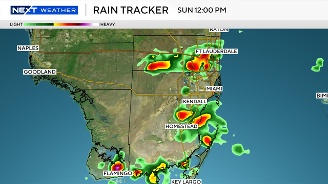
The NEXT Weather Team is tracking a stormy morning for South Florida on the final day of summer.
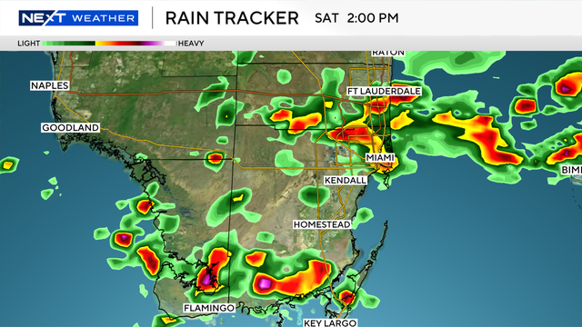
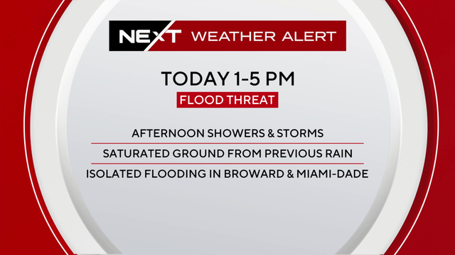
The NEXT Weather Team is tracking two rounds of pop-up storms across South Florida this afternoon and early evening hours.
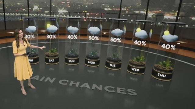
A drier weekend is ahead in South Florida, with the chance of rain decreasing.
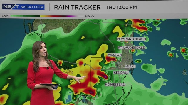
Rounds of rain will continue across South Florida on Thursday with the potential for flooding.
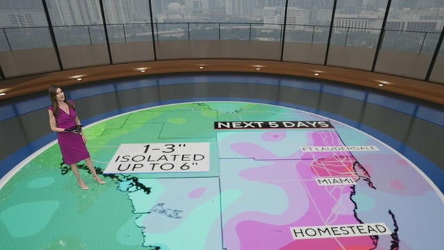
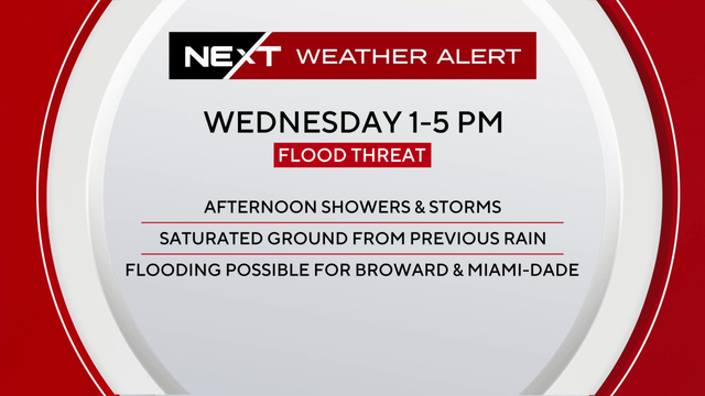
A wet Wednesday is ahead with rounds of rain expected to move across South Florida.
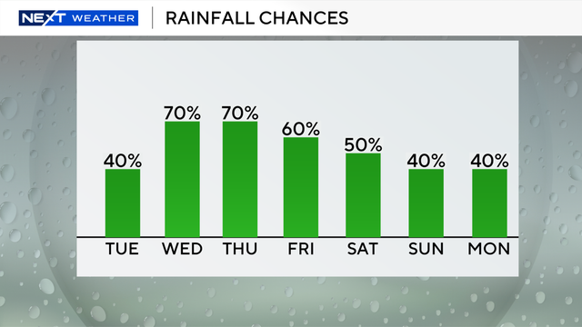
Tuesday morning in South Florida started mainly dry and warm with temperatures in the upper 70s and low 80s.
The chance of rain is higher for Tuesday as more widespread storms are expected.

Strong storms are expected to bring a flash flooding threat to Broward and Miami-Dade Friday and Saturday, prompting consecutive NEXT Weather Alert Days.
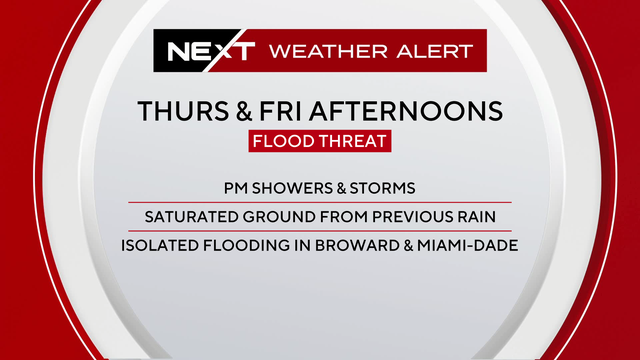
A Level 2, or slight risk, alert of flash flooding has been issued for Broward and Miami-Dade counties.
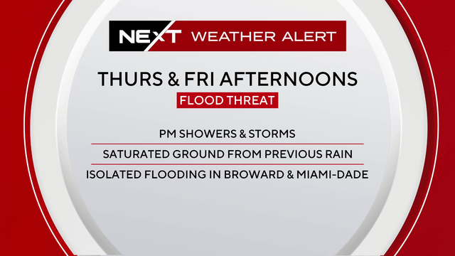
The Weather Prediction Center has highlighted most of Broward and Miami-Dade counties under a level 2 out of 4 flood threat for the back half of the workweek.
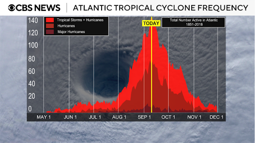
This year has been quieter than expected for tropical systems in the Atlantic, making some wonder: Where are all the hurricanes?
South Florida is under a Next Weather Alert Wednesday as storms, saturated ground, and king tides combine to raise the risk of flooding.

Maps show the best weeks in 2025 for leaf peeping across the U.S., with peak colors arriving as early as late September in some states.
The Weather Prediction Center has placed the metro areas in both Broward and Miami-Dade counties under a level 2 out of 4 flash flood risk due to heavy rainfall expected.
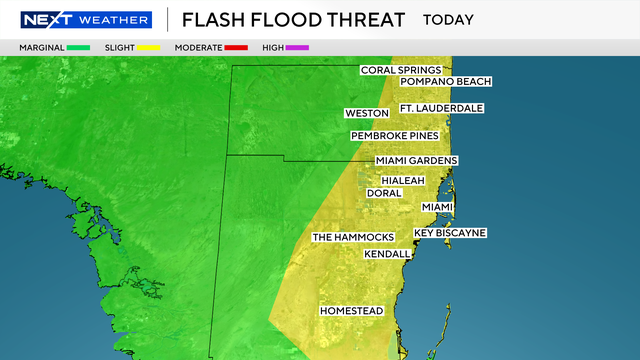
A stalled frontal boundary, along with an area of low pressure, will keep the atmosphere moist and unstable.
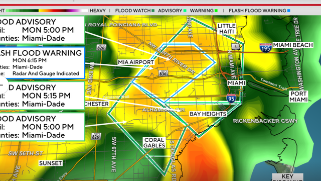
The National Weather Service says the warning includes Miami International Airport, Miami, Hialeah, Coral Gables, Miami Springs and Allapattah.
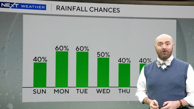
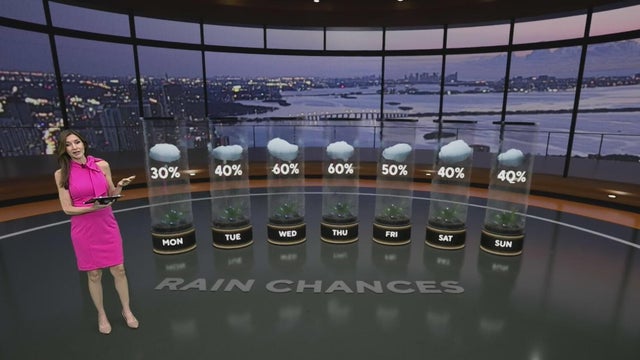
South Florida is set for a stormy Sunday afternoon with rain chances continuing through early week as hurricane season nears its peak.
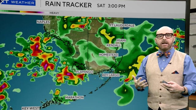
The storms have triggered a Level 1 (marginal) flash flooding advisory for all of southeastern Florida through Sunday night.
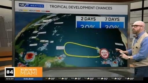
CBS News Miami's NEXT Weather Meteorologist delivers the stormy forecast for Saturday.
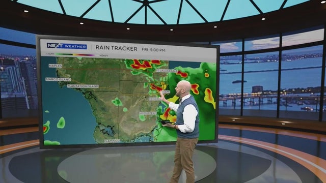
The strongest storms on Friday will arrive around midday.
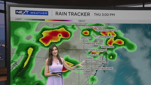
Scattered to numerous storms will develop with the potential for some heavy downpours.