Snow showers taper off late Thursday evening, followed by bitter cold
Snow totals range from a dusting to 2 inches farther south of Chicago.
Watch CBS News
Snow totals range from a dusting to 2 inches farther south of Chicago.
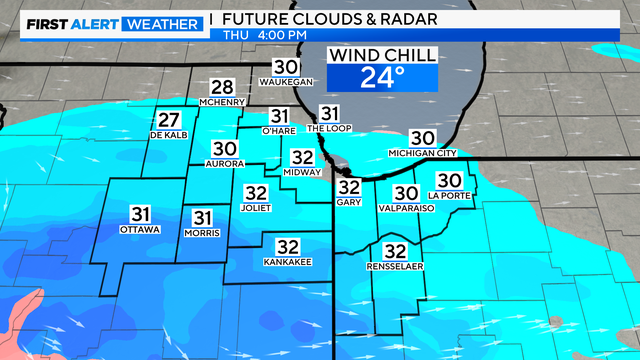
The snow is expected to favor areas south of I-80, with a dusting up to 2" being possible for the higher end.

Temperatures will be near freezing at midnight as we ring in the new year. Wind chills will be in the 20s.
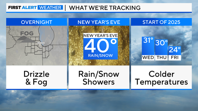
Fog will also create low visibility through Monday morning as well, so if you are traveling anywhere, make sure to use your low-beam headlights if you encounter the locally dense fog.

"You know, you have to look out for things that could happen along the way. Weather is always a part of that. It's nice and warm here in Chicago. We were prepared for any kind of weather," said Steve Mayer, president of content and events for the NHL.
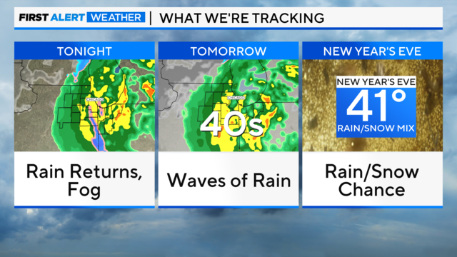
In total, about 1" to 1.5" of rainfall will be possible for areas east of Interstate 55 by Sunday evening.
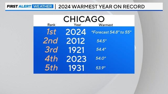
The average temperature in Chicago for 2024 will end up being between 54.8 degrees and 55 degrees Fahrenheit.

After a rainy end to the week, Chicago is finally in for a break from the rain.

Next week will feature a strong cold front on Tuesday with a rain and snow mix possible.

Rainfall amounts up to a half inch are possible on Friday, with highs near 50 degrees.

Some fog tonight could be dense. Lows will be in the mid-30s.

Temperatures on Wednesday will reach the upper 30s and rise into the 40s on Thursday.
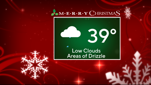
Cloudy skies with areas of drizzle are expected on Christmas Day, with high temperatures hovering in the upper 30s.
Temperatures are below freezing and precipitation will likely freeze.

Untreated roads and surfaces could ice up rather quickly as the pockets of drizzle and rain freeze on contact with cold surfaces.
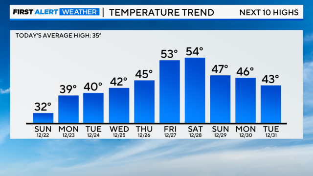
Temperatures keep rising through next weekend, eventually climbing to the 50s.
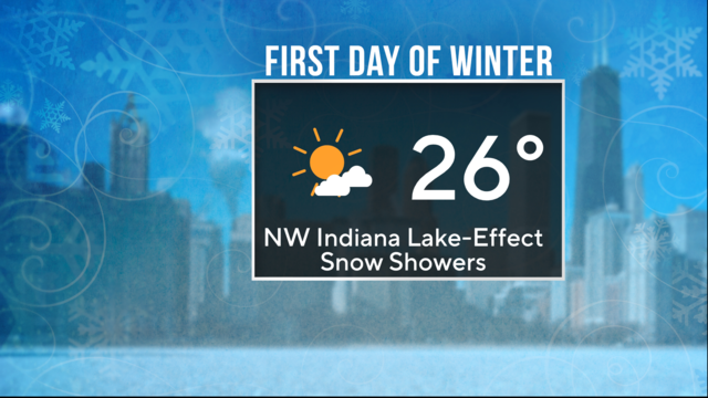
Partly cloudy skies are on tap with some lake-effect snow showers, favoring Northwest Indiana.

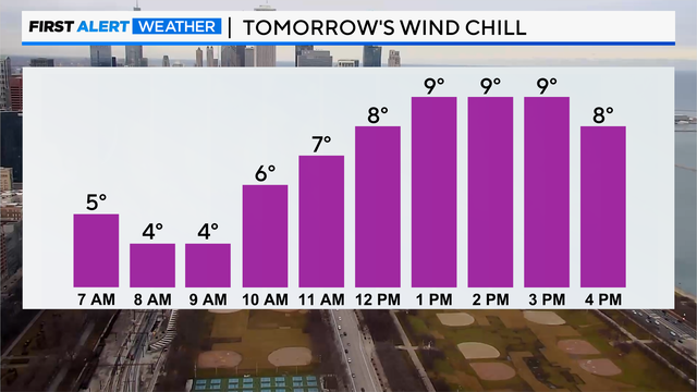
Highs will top out in the middle and upper 20s with a slight breeze, which will send wind chill values into the teens at times.

See how much snow you can expect going into the weekend.

Rain and snow showers develop overnight.
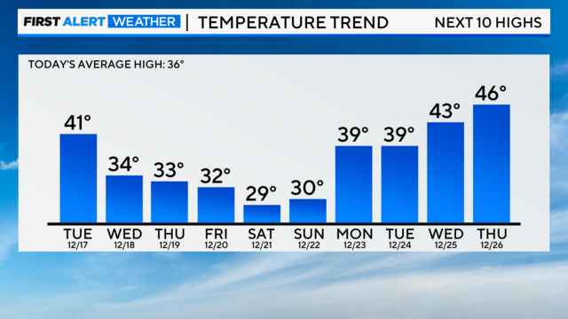
Expect a mix of clouds and sun on Tuesday with cooler west winds.
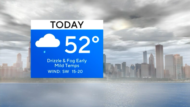
A dense fog advisory is in effect until 11 a.m.

Visibility could be as low as 1/4 mile or less in some areas, making for dangerous driving conditions.

Grab the umbrella as steady, cold rain arrives in the Chicago area Saturday afternoon and continues overnight.

Highs on Friday rebound into the middle and upper 20s.