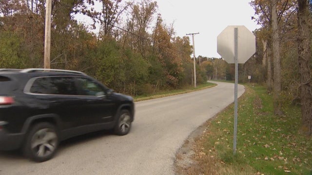
Some Suburbs Digging Out From Snowstorm
A sloppy, slushy mix gave way to rapid, heavy snow across the Chicago area Friday morning, leaving roads treacherously slick and making for a miserable morning commute.
Watch CBS News
A sloppy, slushy mix gave way to rapid, heavy snow across the Chicago area Friday morning, leaving roads treacherously slick and making for a miserable morning commute.

A morning peppered with bursts of snow is giving way dry, overcast skies and temperatures jumping to 45 degrees.

The Chicago area is caught in an active weather pattern, with precipitation expected every day for the rest of the work week and cloudy, dreary skies during dry spells.

Conditions will be mild and dry Monday afternoon, but look for a dusting of snow on the ground when it's time to go to work on Tuesday.

Cloud cover has replaced the intense sunshine of the morning hours, but temperatures will still be above average for the rest of the day Friday.

After a long stretch of cold, dreary and sometimes snowy days, it's time to get outside and enjoy sunny and balmy conditions.

The temperatures are back up to the pleasant 40s this Wednesday afternoon, but you'll be needing your umbrella.

The snow is done falling, but conditions remain chilly and dreary until the next system brings rain on Wednesday.

Mondays are not known for being the most popular day of the week in western culture, and this particular Monday, the weather will give Chicagoans an extra reason to be disappointed.

A powerful lake-effect snow system is blasting the Chicago area, and it could dump as much as 18 inches of accumulation in some areas.

In case you've forgotten, it's February, and Mother Nature will be reminding you by dropping up to 6 inches of snow on the Chicago area on Friday.

Conditions will remain seasonably chilly Wednesday, but cloudy skies will give way to sunshine as the afternoon goes on.

Snow will be blowing into the Chicago in the afternoon, on this Tuesday that actually feels pretty much like February.

The temperature will be cooling down in Chicago Friday evening, and there could be a little rain or even a flurry or two overnight.

Temperatures will remain above average Thursday, and unlike this time last year, there won't be a flake of snow in sight.
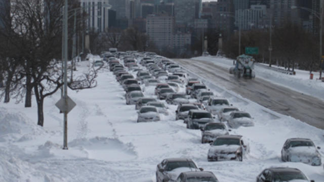
Temperatures have been above average all week, and the only snow in sight is the occasional oil and dirt-streaked leftover from more than a week ago. What a difference a year makes.

One year ago, Chicago was bracing for a blizzard that eventually shut down Lake Shore Drive and forced hundreds of drivers to abandon their cars on the lakefront. Today, there wasn't a flake of snow in sight as the Chicago area reveled in temperatures nearing 60 degrees.

Later this week, Chicago will mark the one-year anniversary the third heaviest blizzard in recorded history. But looking outside, you'd have no idea.

On this 45th anniversary of the infamous blizzard of 1967, conditions in Chicago are calm and mild, with temperatures expected to hit the 40s.

Conditions will be comfortable and largely sunny for the rest of the day – and the work week – until snow and sub-freezing temperatures return just in time for the weekend.

Conditions remain clear and dry, but cold, for the remainder of the day.
Thunderstorms swept through the Chicago area overnight, but don't get fooled -- it's still January, and more snow is soon coming.

Bitter cold has set in after the snowstorm Thursday, as people struggle to get around, clean up, and start their cars.

Spring in January is officially over, as the first major snowstorm of the season blanketed the Chicago area, forcing airlines to cancel hundreds of flights and threatening to make a mess of the evening rush.
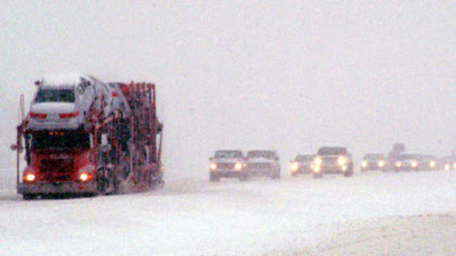
Enjoy the last day of spring in January Wednesday, because within 24 hours, a powerful snowstorm will be clobbering the Chicago area – and it could make for a dangerous commute.