Springlike January Soon To Come To An End
The calendar says Jan. 10, but it certainly doesn't feel like it. But that will be changing soon enough.
Watch CBS News
The calendar says Jan. 10, but it certainly doesn't feel like it. But that will be changing soon enough.

Snow and bitter cold will be coming later in the week, but on Monday, look for another day with unseasonable temperatures in the 40s.

Christmas was less than two weeks ago, but you could easily be fooled into thinking it's late April, as the temperature nears a record high for this wintertime date.

The forecast high for the day is a balmy 49, with sunshine and a few clouds.

Conditions are expected to remain calm with mostly sunny skies and a high of 38. And on Thursday, the high climbs to a pleasant 46.

Chicagoans no longer have the luxury of living in denial of winter, with patches of snow on the ground, and wind chills as frigid as 10 degrees in the midday hours.

Light flurries have tapered off for most of the Chicago area, but lake effect snow in northwest Indiana could bring a lot of snow to that region by Tuesday.
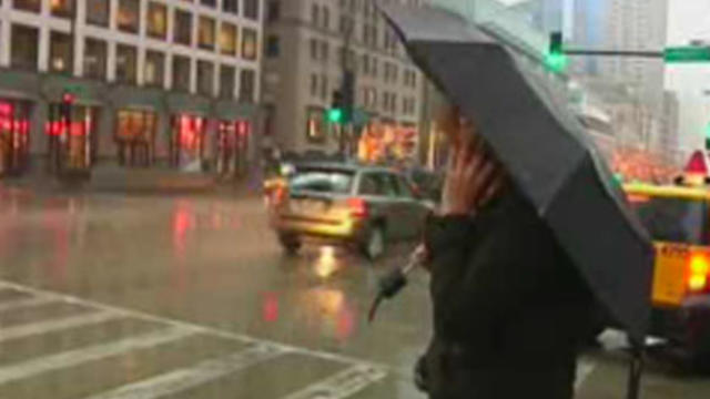
Rain will continue off and on through the afternoon as a stubborn system circulates around a low-pressure area.

Conditions more befitting of late October than late December will continue for the rest of the day Thursday, with sunshine and temperatures rising to the mid-40s. But roads could be treacherous again Friday morning.

Temperatures will stay colder than we have seen in recent days, as skies remain cloudy with the occasional peek of sunshine.

Winds will pick up as the day progresses, as the temperature slowly transitions from a high of 40 down to the more seasonable 30s.
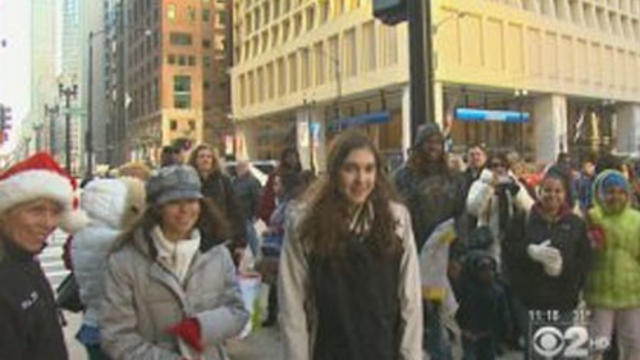
Mostly sunny, but seasonably chilly conditions will continue through the day, with a high of 35 degrees.

It seems that we'll likely be denied a white Christmas this year, but snow is in the forecast for Thursday afternoon.
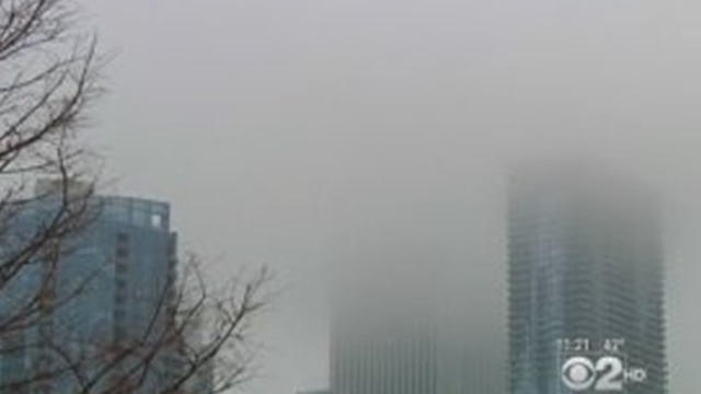
Fog will continue to lift in the Chicago area Wednesday afternoon, but light drizzle and dreary conditions are expected.

Winter officially begins later Wednesday, but the Chicago area has a thick soup of fog in lieu of the usual snow and bitter winds.

We could have had a lot of snow Wednesday, but we had all-day rain showers instead, making what is already the third wettest year in Chicago on record a little wetter still.
It came two and a half weeks later than average, but on Friday morning the inevitable happened.
Accumulating snow is in the forecast for Thursday night, for the first time so far this season.

Come Friday, if you forget your winter coat, hat and gloves, you'll be sorry.

The balmy 70-degree temperatures we saw on Sunday are a distant memory now, as a cold snap sets in and leaves temperatures hovering mostly in the 30s for the next couple of days.
The temperature topped out at a balmy 70 degrees on Sunday, but you'll be needing a warm jacket again by the middle of the week.
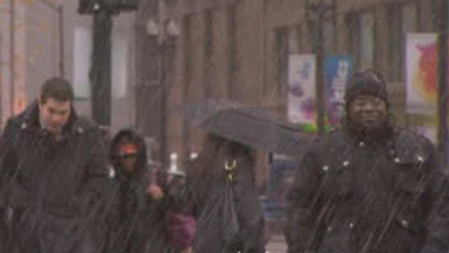
Patches of snow flurries hit the Chicago area on Thursday, while temperatures reached their coldest levels since April.

Not a single flake of snow has fallen in Chicago this fall, even as an early-season snowstorm socked the East Coast and left millions without power late last month.

A long-range forecast says a few months from now, we could be in for one of the snowiest winters in recent memory. And that prediction is for the year after the third heaviest blizzard in Chicago history.

The blasting winds resulted in serious damage overnight, from bricks that came crashing down onto parked cars to dangerous electrical fires. Huge waves from the wind also forced the closure of part of Chicago's Lakefront Bike Path.