Lovely Valentine's Day ahead with 60s and 70s through Friday before cold front arrives
Wednesday will be mostly sunny skies, southerly winds, and highs in the upper 60's!
Watch CBS News
Wednesday will be mostly sunny skies, southerly winds, and highs in the upper 60's!
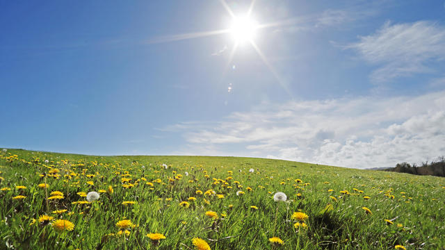
High temperatures will be in the low to mid 60s under sunny skies.

There is a warming trend this workweek before another cooldown just in time for the weekend.

For area gardeners, the last freeze of winter means the start of the growing season.

Severe Thunderstorm Watch in effect for parts of North & Central Texas until 4 a.m.

There could be a rain and snow mix for areas north and west of the metroplex late Sunday but we are not expecting any impacts from this.
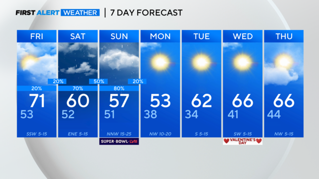
Rain chances for the metroplex on both Saturday and Sunday and cooler temps return this weekend.

Right now, it's looking like most spots will pick up 1-1.5" of rain between Friday and early Monday.

We're tracking warmer weather, then rain for part of your weekend.
Partly sunny skies and south/southeast winds at 10-20 mph will get us into the mid and upper 60s again by Wednesday afternoon.

After a chilly start to your Tuesday, high temperatures will rise into the mid 60s. We'll see mostly sunny to partly cloudy skies.

There may be some patchy fog for parts of North Texas to start off your Tuesday, but we're not expecting dense or freezing fog.

We're tracking a cool, breezy start to the week but warmer weather is on the way.

Dry start to the work week, above normal temperatures as we head into Superbowl Sunday as rain chances return.

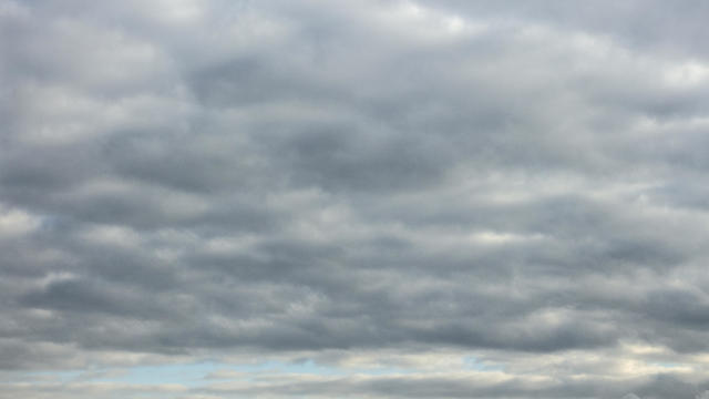
Overcast skies and patchy, dense fog mark another gloomy start to the day. Some places won't see temperatures above the 50s because of the cloudy skies that persist throughout the day.
Sunday, a low-pressure system is going to race across North Texas.

All these warm winter days might be turning your thoughts to an early spring!

Saturday will be pleasant with temps in the 60s but Sunday will be cooler with some scattered showers.

The First Alert Weather team has been watching a line of storms coming in from the west.

Our Friday is off to a mild start with temperatures in the mid 50s and patchy fog developing.
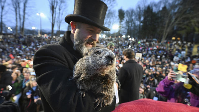
Punxsutawney Phil did not see his shadow, meaning an early spring is on the way according to his Groundhog Day prognostication.

We'll be watching for storms in our forecast Friday evening but we should be back to drier conditions by Sunday.
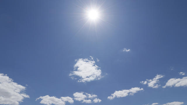
For your Groundhog Day, cloudy skies and isolated showers are around during the day.
We're tracking more spring-like weather before storms moves in for part of your weekend.

Mild weather continues through Wednesday and Thursday with highs in the lower to mid-70s.