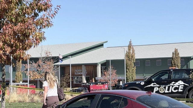
New Year's Day chilly, full of sunshine across North Texas
The New Year began with temperatures in the 30s across North Texas.
Watch CBS News
The New Year began with temperatures in the 30s across North Texas.

Chilly temps and clear skies for New Year's Eve celebrations followed by a beautiful start to 2025.

Grab a jacket if you're heading to a fireworks show Tuesday night.
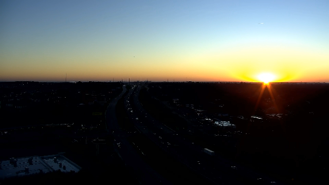
A sunny Monday is in store across the Dallas-Fort Worth Metroplex with mild temperatures on the way.

Temperatures will climb into the upper 60s Sunday, with strong winds and a warm-up ushering in chillier conditions for the start of 2025.
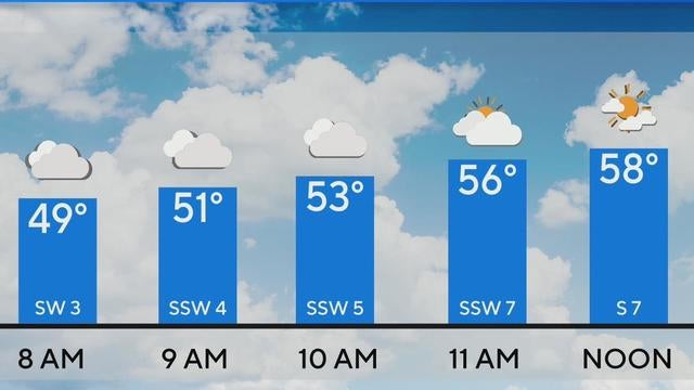
North Texas can enjoy clear skies and sunshine on Sunday and temperatures reaching 80 degrees on Monday.
"First Alerting" for fog tonight through Sunday morning.
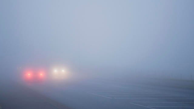
Dense fog is possible overnight into Sunday morning. North Texas begins warming up through Monday. A seasonal and much cooler start to 2025 ahead.

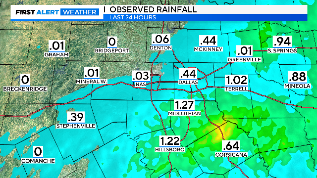
The First Alert Weather team is tracking rain and storms across the Metroplex.
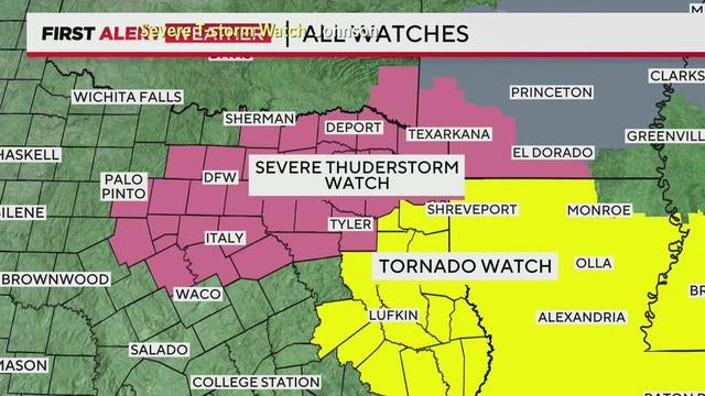
After severe storms with hail and lightning move through North Texas, expect clearing skies and warmer temperatures Saturday afternoon, with highs reaching the mid-60s.
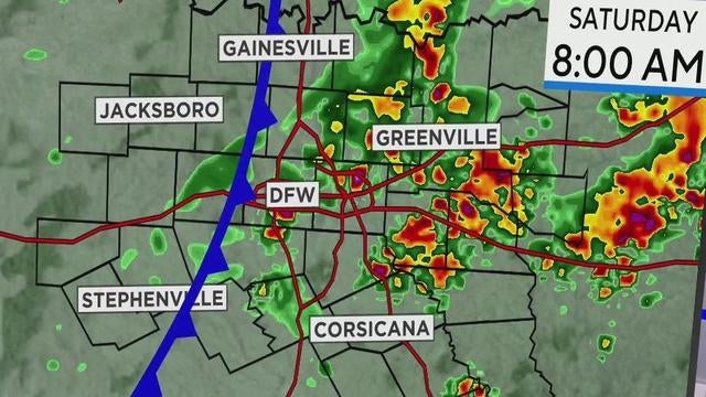
While the Metroplex will see rain and has the possible severe weather, stronger storms with hail, lightning and gusty winds are expected east.

After a foggy Friday morning, temperatures in DFW are set to climb into the 60s and 70s, with a chance of showers and storms on Saturday.
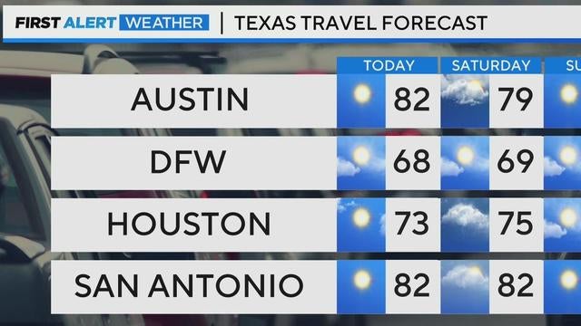
North Texas can expect mild temperatures this weekend with highs in the 60s and 70s, but showers and thunderstorms are likely.
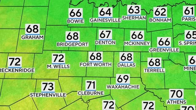
North Texas is waking up to temperatures in the 40s and dense fog, reducing visibility to a quarter-mile in some areas.
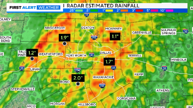
Once the fog clears, fine weather is expected to set in to close the week and continue into the weekend.

Thursday is a First Alert Weather Day with scattered storms bringing heavy rain, strong winds and a risk of tornadoes to North Texas.
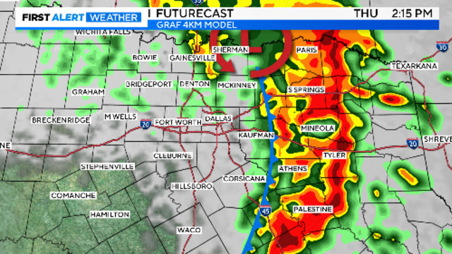
Storms are expected to cover the Metroplex by mid-morning. Large hail and damaging winds are the main threats.

Thursday is a First Alert Weather Day due to another round of rain and storms with the potential for severe storms.
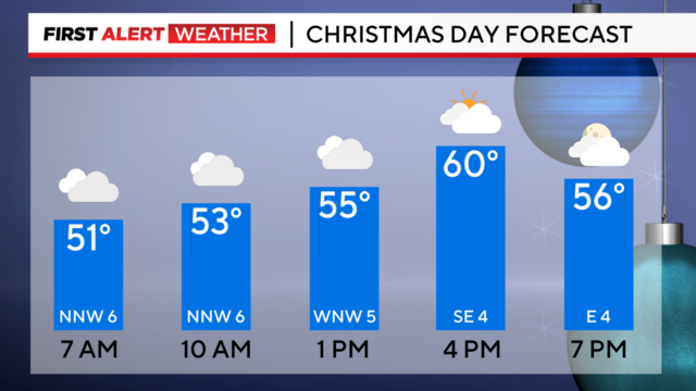
After a wet Christmas Eve, that even saw a tornado warning in our southern counties, we dry out and cool down on Christmas Day.
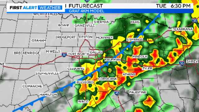
Christmas Day travel looks much better if driving out of this area in any direction.
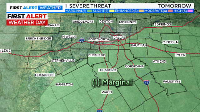
Travel plans in North Texas could be significantly impacted this week as First Alert Weather Days have been issued for Tuesday and Thursday.

Here's the forecast so last-minute holiday shoppers can plan ahead.

North Texas will enjoy mild weather on Sunday and Monday, but a First Alert Weather Day is in effect for Christmas Eve.

It will warm back into the upper 50s on Saturday, another typical winter day to start the season.
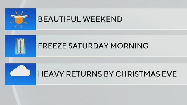
A pleasant weekend awaits North Texas with mild temperatures and sunny skies, though expect a chilly start Saturday morning as temperatures dip near freezing.