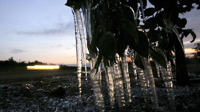
Weekend Overnight Lows Could Break Records For Chilliness
It's cold outside and there could be a record-breaking chill in the air overnight into Saturday morning. Near record to record lows are possible for Saturday throughout the region
Watch CBS News
It's cold outside and there could be a record-breaking chill in the air overnight into Saturday morning. Near record to record lows are possible for Saturday throughout the region

It was a frosty start to the second day of the new year throughout the region as temperatures dropped below 30 overnight in Sacramento.

The rain didn't hit as soon as expected in the Sacramento region, waiting until Friday morning to start falling, but the forecast still calls for plenty of wet weather through the weekend.

Last week the skies opened and it rained, it rained again, and it rained some more, More wet weather in the forecast this week might not be welcome to some, but this storm won't back nearly the punch.

The second wave of storms to drench the valley is expected to hit the Sacramento area Thursday afternoon, prompting wind and flood warnings.

The first in a series of storms hit the Sacramento region Wednesday morning and the wet weather is expected to saturate the valley through the weekend.

Rain continued to fall Wednesday morning from a storm that started Tuesday night and but a dry Thanksgiving Day is still in the forecast.


It's going to be a cool and wet fall weekend across Northern California. The rain started falling overnight into Friday morning and scattered showers with mainly light rainfall totals are expected throughout the day

After temperatures in the 80s to start the week, Wednesday will be another warm day in the mid-70s around Sacramento, but temperatures will drop significantly starting Thursday.

It won't feel like the beginning of November this weekend in the Sacramento area, with temperatures in the mid-70s or even into the 80s.

Sacramento area trick-or-treaters should stay dry tonight if they're off the streets by 8 p.m., according to CBS13 meteorologist Laura Skirde.

Hurricane Sandy is lashing the East Coast and she has much danger to offer. CBS13's Ian Schwartz looks at the science behind the storm.
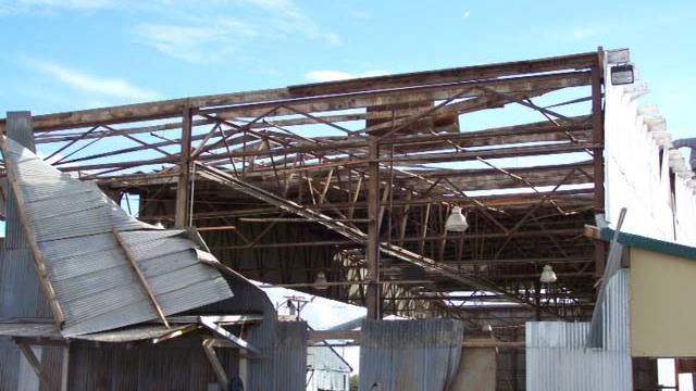
The National Weather Service has determined that another tornado hit the Sacramento region during Monday's storm.

Two brothers watched in amazement Monday as a tornado tore through their yard, lifting a barn in the air and sending a boat 100 feet.
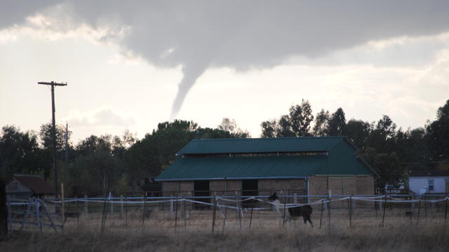
There was little time to prepare before a tornado dropped out of the sky in Elk Grove and tore through a neighborhood Monday, damaging dozens of homes.
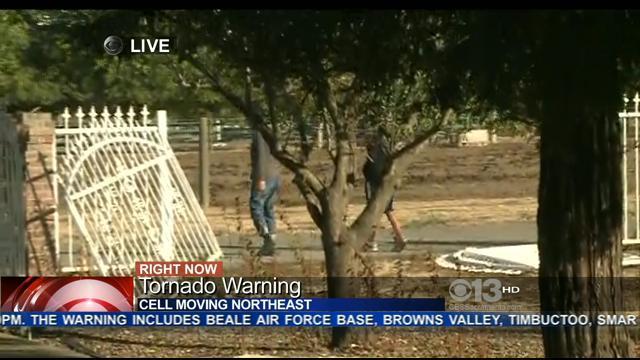
A tornado touched down just south of Yuba City on Monday afternoon and there was also a reported touchdown in Yuba County and damage from a funnel cloud in Elk Grove as the first weather system of the season pounded the Sacramento Valley with hail, lightning and fierce winds.

Some scattered showers fell across the valley on Friday morning and a light snow coated the higher mountain elevations.

It's officially fall with only a few days left of September, but the weather this weekend will feel more like July.
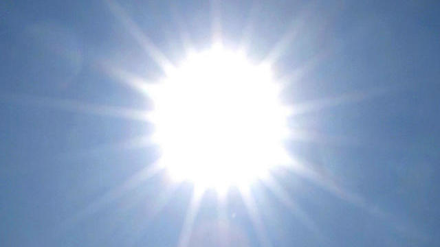
The National Weather Service's Sacramento office is warning valley residents of a prolonged heat wave this week that could see temperatures reach 110 degrees in some areas.

A summer heat wave continues to hover over the Sacramento region, with Wednesday and Thursday expected to be the hottest days of the week.

After an extremely dry start to the rainy season in the fall, we're finishing with a flourish this spring. Two locations in Sacramento set records on Wednesday.
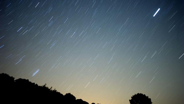
A bright meteor shower was not just seen with the eyes but it was heard for miles.

Steady rain the past three days has already pushed Sacramento above normal totals for the month of April.

After a brief break on Friday, the rain returns to the Sacramento Valley early Saturday morning.