Dry, cooler weekend ahead before rain returns Monday
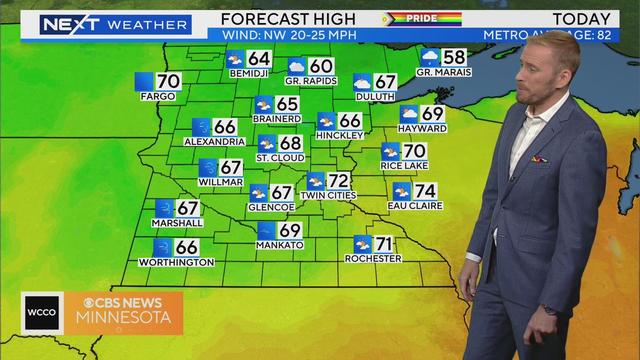
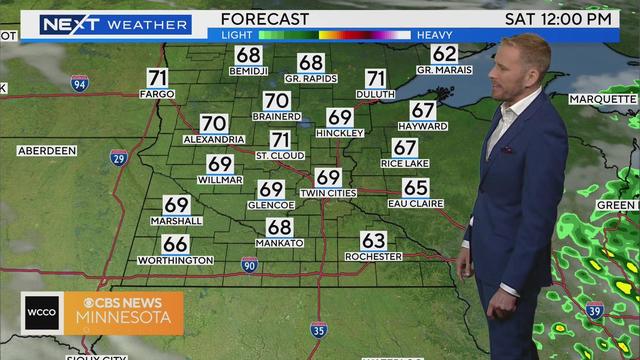
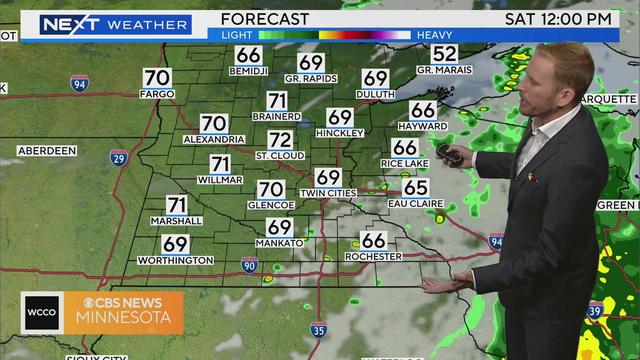
The sun is making its return in what will be the first dry weekend since early May.
Watch CBS News
The sun is making its return in what will be the first dry weekend since early May.
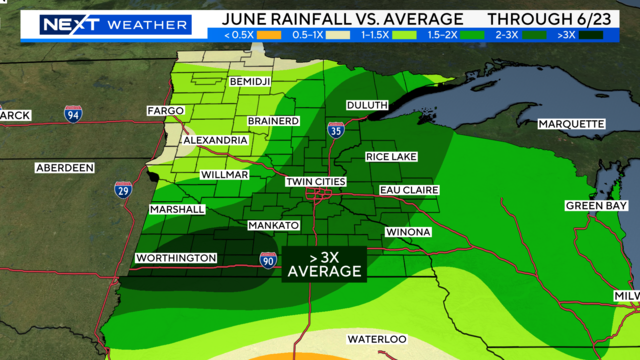
This June sees above average rainfall for much of the state.
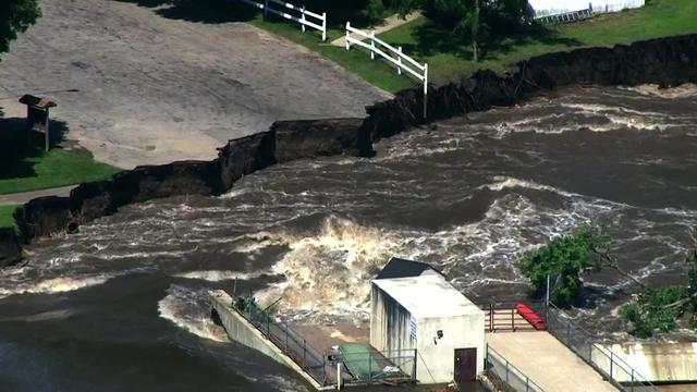
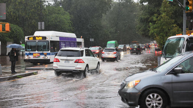
Heavy rains have caused record-setting flooding in the Midwest. In Iowa, water in some areas has risen above records from 1993. And in Minnesota, parts of the Mankato area were evacuated after the Blue Earth River caused a partial failure of the Rapidan Dam.
Grandmas Marathon officials announced on Saturday morning that the race would go on as planned, as the threat for severe weather diminished.
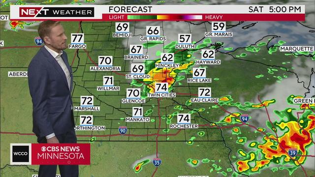
The last push of steady rain and stronger storms is exiting east across southern Minnesota on Saturday morning.
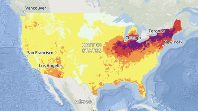
Some areas are expected to see a longevity of dangerous heat that "has not been experienced in decades," forecasters said.
Some areas are already dealing with high water levels and there's a chance for more rain in our future.
More than 20 million people were under weather advisories for extreme heat as forecasts predicted another week of soaring temperatures.
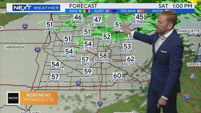
Early showers will wrap up and make their way out of Minnesota by mid-morning, ushering in a quiet and dry weekend.
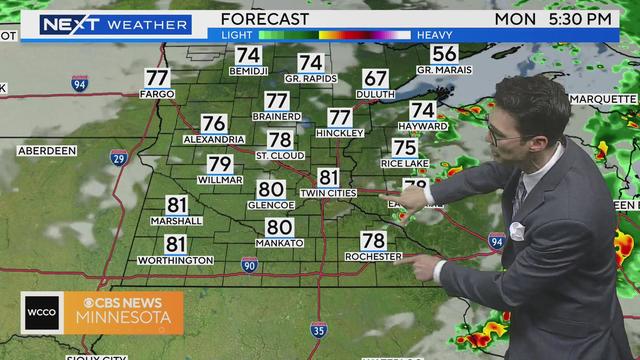
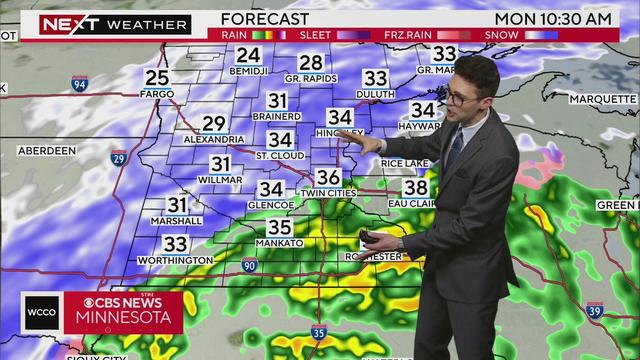
Meteorologist Joseph Dames has the latest forecast Monday morning.
Showers from overnight will continue to exit east on Saturday morning.
Powerful storms left a trail of devastation in their wake after spawning possible tornadoes in parts of Texas, Oklahoma and Arkansas overnight.
The rain chances through Tuesday are non-zero, but there's enough dry time in between to enjoy the outdoors.
There were multiple fatalities from a tornado that ripped through the small Iowa town of Greenfield, which saw homes and businesses destroyed.
The first of two storms for the weekend is making its way out of the metro area on Saturday morning.
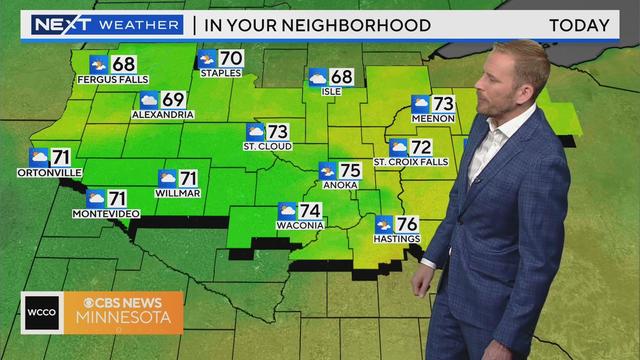
It's the start of a sunny and warm weekend in Minnesota, with temps on Saturday reaching into the upper 70s.
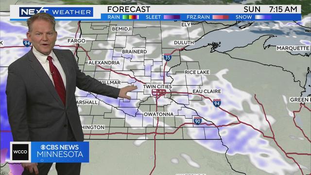
WCCO meteorologist Chris Shaffer says a Winter Weather Advisory has been added including the metro area until Tuesday morning. The wind will pick up and the raindrops many have seen Monday will change back to snow.
A major storm is making its way through Minnesota, and by the time it wraps up, much of the state will see half a foot of snow or more.
The first of two wintry weather systems is now beginning to taper off Friday morning after leaving plowable snow for a large swath of Minnesota. Some areas reported over 8 inches of snow. Here's a look at snowfall totals.
High pressure will make for another dry and quiet weekend, with sun and a few scattered clouds.
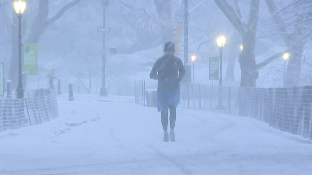
Parts of the Northeast are being hit by a nor'easter that dumped a foot or more of snow in some areas.
It'll be one of the coldest-feeling mornings we've seen in a while, after a string of record-breaking warm days.
The long road of bringing the World Cup in cross country skiing back to the U.S. has hit one final speed bump with the lack of snow in Minnesota.
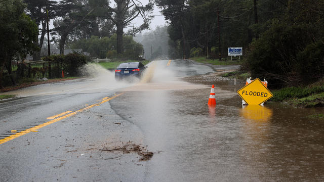
Atmospheric rivers can be beneficial — but also destructive. Here's what to know about the weather phenomenon on the West Coast and beyond.
Punxsutawney Phil did not see his shadow, meaning an early spring is on the way according to his Groundhog Day prognostication.