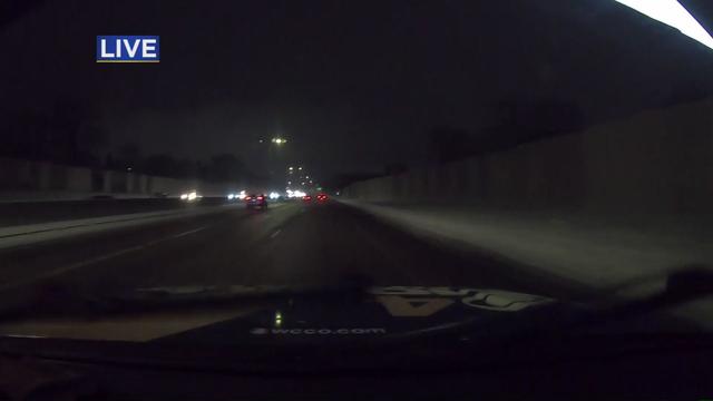
NEXT Drive: Icy road conditions Friday morning
Beret Leone has an update on the roads Friday morning.
Watch CBS News
Beret Leone has an update on the roads Friday morning.
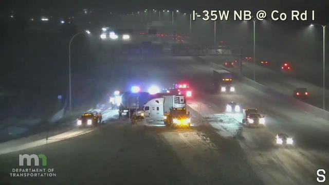
As a multi-day storm continues its onslaught in Minnesota, drivers heading to work should once again be prepared for a tricky commute.
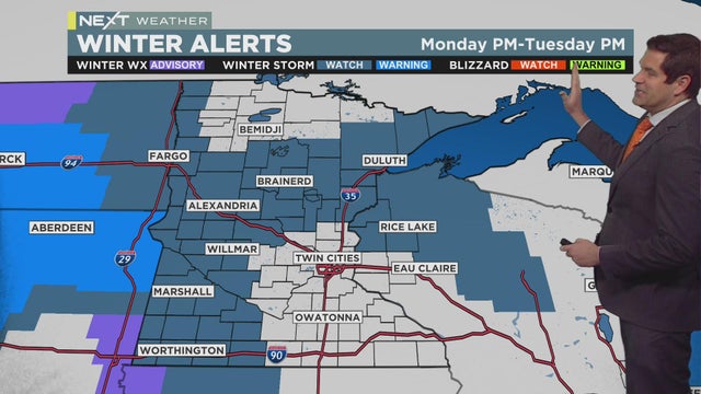
Enjoy the mild weather while you can because ice, snow, and slick roads are headed our way.
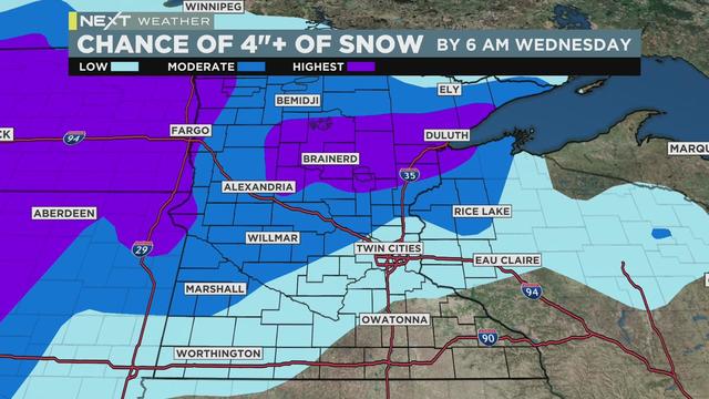
Monday will be another mild one, but after that, a very active weather week begins, with a couple of NEXT Weather Alert days on tap.
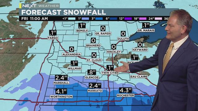
Areas along the Interstate 90 corridor could see 4 inches of snow, while the metro will only get a dusting.
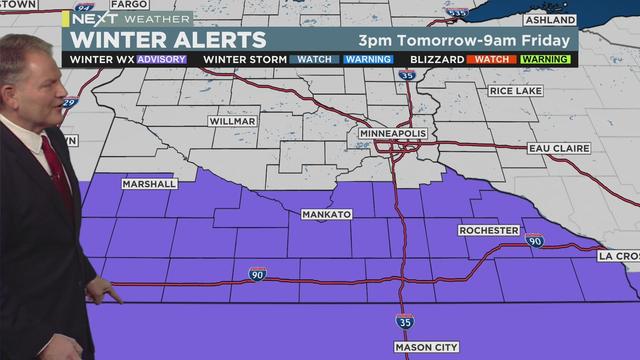
The Twin Cities is in for a quiet and sunny Thursday, but more snowmakers are headed our way.
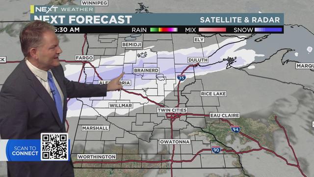
Another band of light snow will move into Minnesota Wednesday morning.
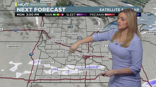
Meteorologist Lisa Meadows has the latest forecast.
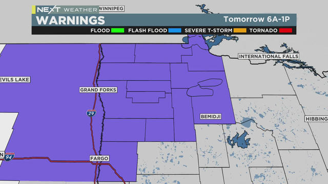
A winter weather advisory is in effect for northwestern Minnesota Tuesday from 6 a.m. to 1 p.m.
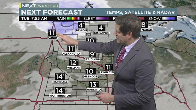
Meteorologist Riley O'Connor has the latest.
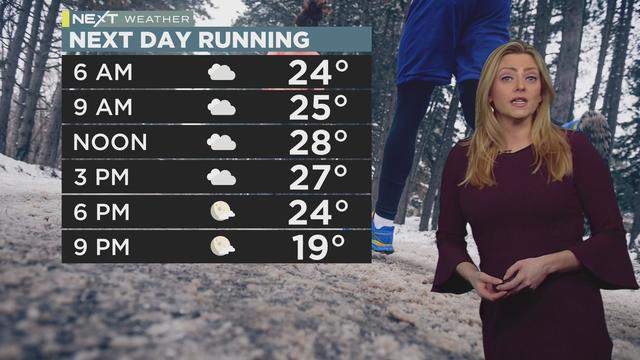
Monday will feel a lot like Sunday, albeit cloudier and slightly cooler.
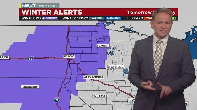
We're kicking off the weekend with a combo of light snow and heavy winds that will make driving hazardous in parts of Minnesota -- triggering a NEXT Weather Alert.
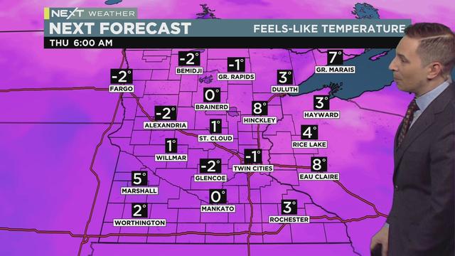
Bitter cold is following on the snow-covered coattails of the storm system that hammered parts of Minnesota Tuesday.

Humans weren't the only ones enjoying Tuesday's snow. Several animals were spotted at the Minnesota Zoo playing in the flakes.
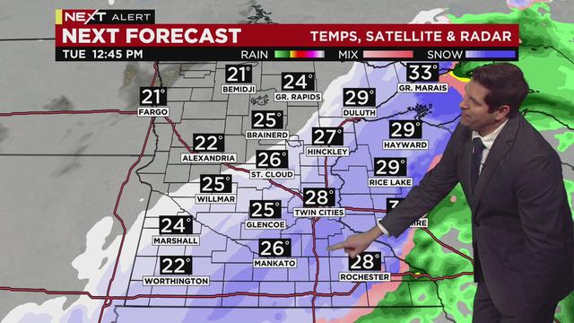
Meteorologist Riley O'Connor has the latest on this NEXT Weather Alert day.
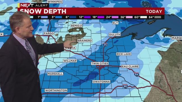
The snow has stopped -- and now comes the cooldown.
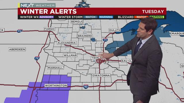
A NEXT Weather Alert has been issued for Tuesday due to heavy snow in the forecast.
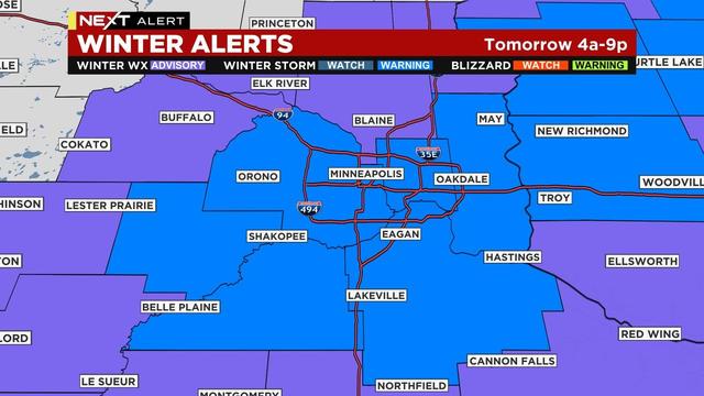
A Winter Storm Warning is in effect Tuesday in the metro due to the potential of 4-7 inches of snow.
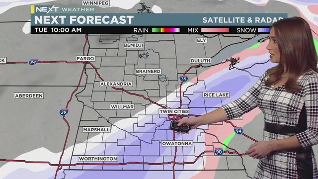
The holiday weekend came to a quiet end, but plowable snow is ahead early in the week.
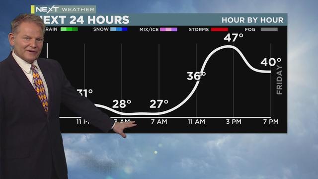
Post-Thanksgiving travel will be great on the roads Friday, as well as Saturday.
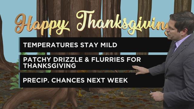
Meteorologist Riley O’Connor has the latest forecast Wednesday morning.
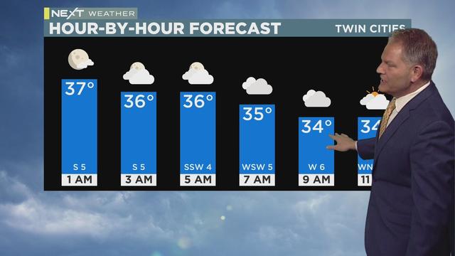
Thanksgiving Day will be cooler and cloudier, but another warm-up is just around the bend.
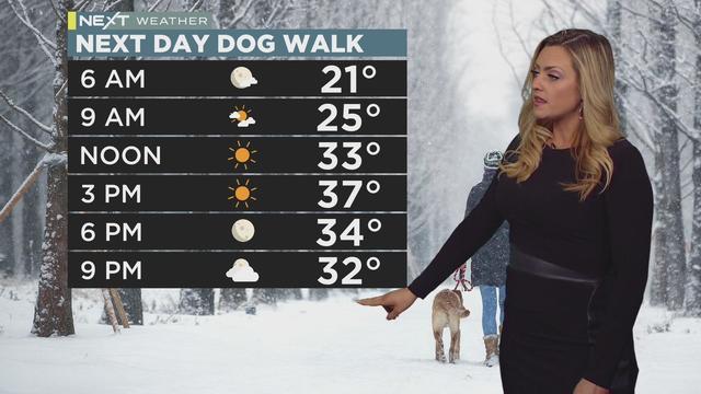
After a cool Tuesday night, the Twin Cities will warm up to near-average temperatures.
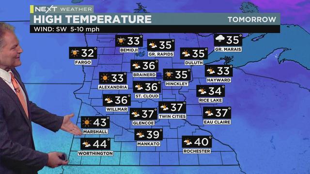
Tuesday's high will be in the upper 30s, with sunshine returning by afternoon.
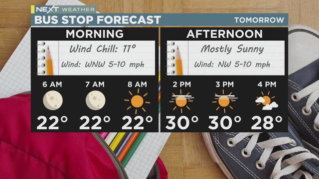
Monday will have a strong déjà vu factor, with mostly-sunny skies and the same high temperature as Sunday.