Monday kicks off warm stretch in Twin Cities to end the month
The Twin Cities will get a break from winter to start the week, with highs close to 40 degrees on Monday.
Watch CBS News
The Twin Cities will get a break from winter to start the week, with highs close to 40 degrees on Monday.

Wind chills will only reach the teens Sunday afternoon with air temperatures pushing 30 degrees.
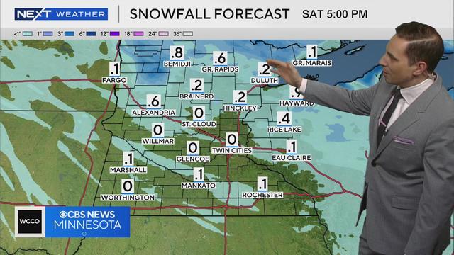
Meteorologist Mike Augustyniak says some areas of northern Minnesota could see over half an inch of snow by Saturday evening.
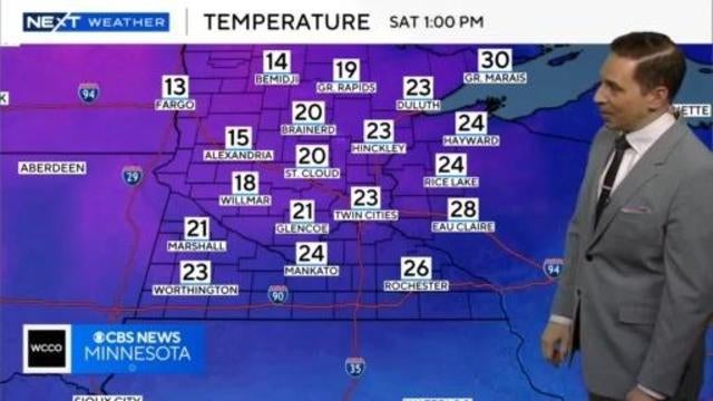
Meteorologist Mike Augustyniak says temperatures will be in the 20s Saturday afternoon before dropping back to the single digits on Sunday.
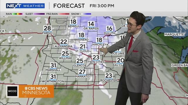
Warmer air is expected to make its return on Friday, along with some light snow in the afternoon.
After a string of frigid days, temperatures will climb into the upper 20s in the Twin Cities on Wednesday.

Things are warming up a bit in Minnesota following an extremely frigid morning.

A NEXT Weather Alert is in effect Monday as dangerous cold assaults Minnesota.
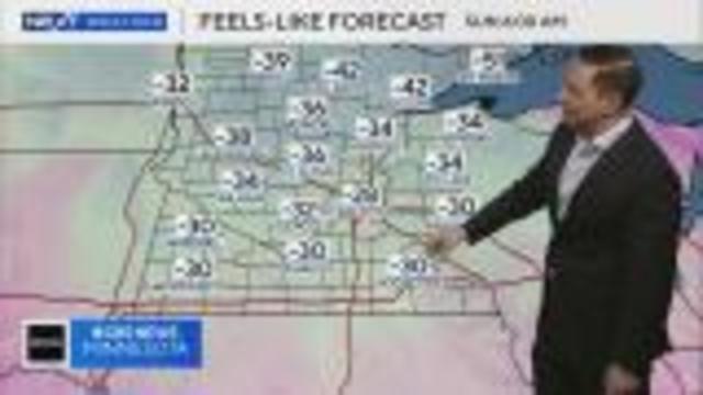
Meteorologist Mike Augustyniak says wind chills could reach as low as -50 degrees early next week.
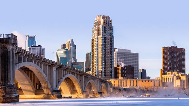
The week will wrap up with two mild days, but over the weekend highs will take a hit.
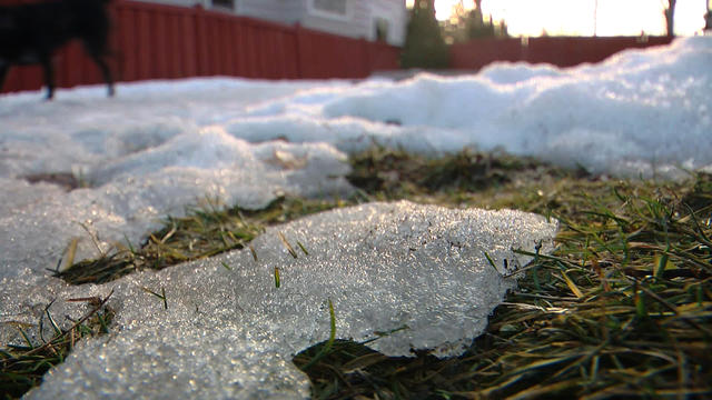
Wednesday begins an ascent to warmer days in the Twin Cities, but another harsh drop is ahead.
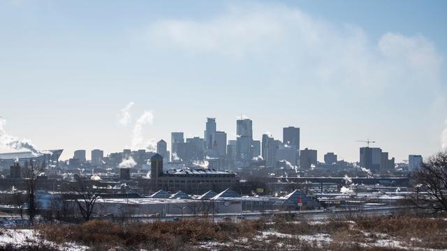
We will see some sunshine, but feels-like temperatures will be in the negatives.

Highs across the state will be in the single digits, and even colder in spots.
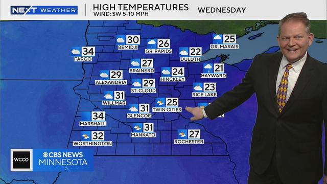
Meteorologist Chris Shaffer says the cold will stick around Tuesday before Minnesota thaws out with temperatures in the 30s by Wednesday.

The lack of measurable snow is grinding some gears. While some winter activities are thriving, others are just holding onto hope.
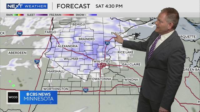
WCCO meteorologist Chris Shaffer says scattered snow showers are on tap this weekend.
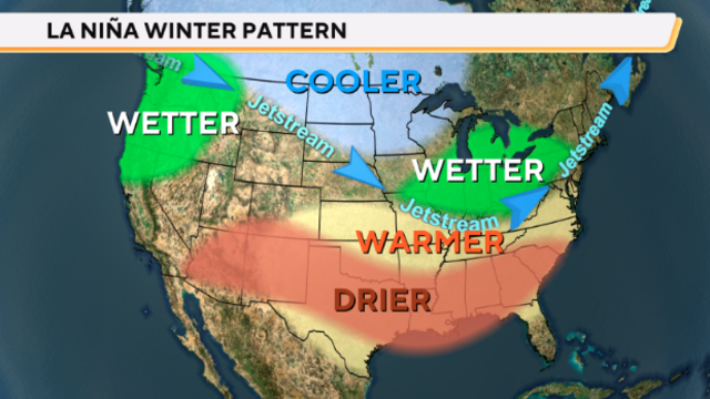
After a long wait, NOAA says La Nina is officially here. That's when the sea surface temperatures along the equator in the Pacific Ocean drop below average.
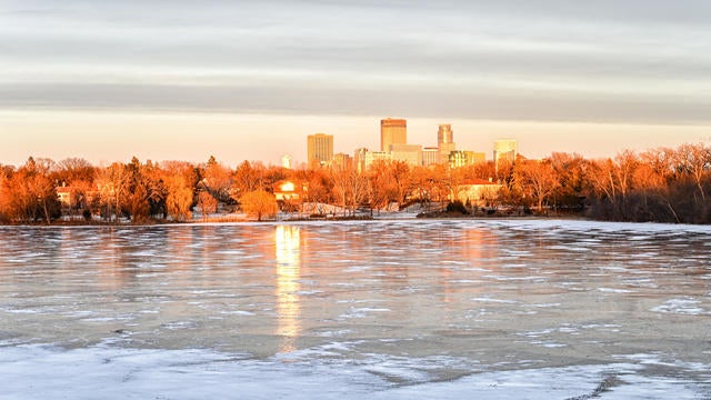
Sunshine will return on Wednesday as things stay quiet ahead of a couple of snow chances in the coming days.
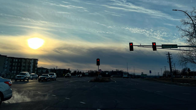
Highs will be in the upper teens on Monday in the metro, with winds easing as the pressure gradient relaxes. Expect more sunshine.
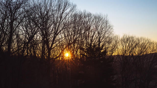
Friday will be quiet, sunny and cold in the Twin Cities.
Colder air continues to funnel in on Thursday, with the wind chill making it feel close to single digits in the Twin Cities.
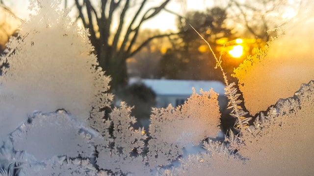
The new year will bring colder air to Minnesota, with highs in the Twin Cities barely breaking 20 degrees.

The fog clears out on New Year's Eve as cooler air moves in, with light snow possible in the Twin Cities.
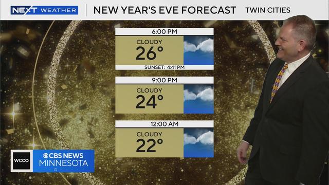
Meteorologist Chris Shaffer says temperatures for New Year's Eve will stick around the 20s.
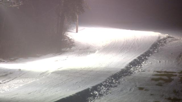
Dense fog will hold through Monday morning before a mix of rain and snow arrives later on for parts of the state.