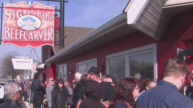
Sunny start to week in Southeast Michigan before storms return
On Monday, we'll see mostly sunny skies in Southeast Michigan, and it will be a gorgeous evening to head downtown and watch the Ford Fireworks.
Watch CBS News
On Monday, we'll see mostly sunny skies in Southeast Michigan, and it will be a gorgeous evening to head downtown and watch the Ford Fireworks.
The NEXT Weather team declared a NEXT Weather alert day through Friday due to the heat. Here's what to know about the temperatures and weather conditions each day.
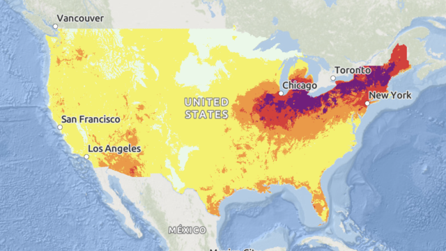
Some areas are expected to see a longevity of dangerous heat that "has not been experienced in decades," forecasters said.

The St. Clair Shores Memorial Park Beach has been closed for nearly two weeks due to high levels of bacteria.

A heat wave is forecast to bring dangerously hot temperatures to the Midwest and Northeast this week.

A heat wave will keep temperatures hot and humid and feeling like triple digits this week.

If you're celebrating Dad outdoors, expect warm and windy conditions.

Less humidity will end the week as temperatures will be closer to normal.

All Southeast Michigan communities are at risk for severe weather on Thursday.

Temperatures will continue to warm on Wednesday as sunshine sticks around in Southeast Michigan.
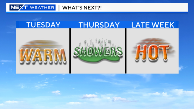
High pressure takes hold on Tuesday as temperatures warm up and more sunshine moves in.

More than 20 million people were under weather advisories for extreme heat as forecasts predicted another week of soaring temperatures.
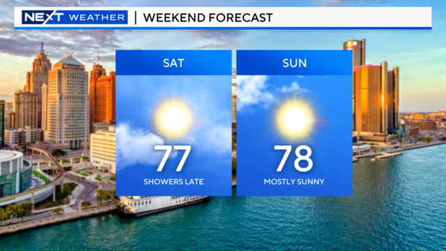
Overall it will be a pleasant weekend, but there is a chance of showers that could dampen your Saturday night plans.
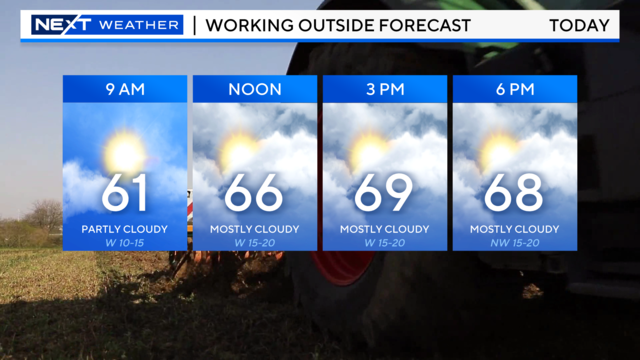
The work week may have started hot, but it's ending on a cooler note.
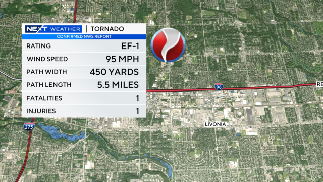
Severe weather moved through Southeast Michigan Wednesday afternoon and evening, sparking severe thunderstorm warnings.
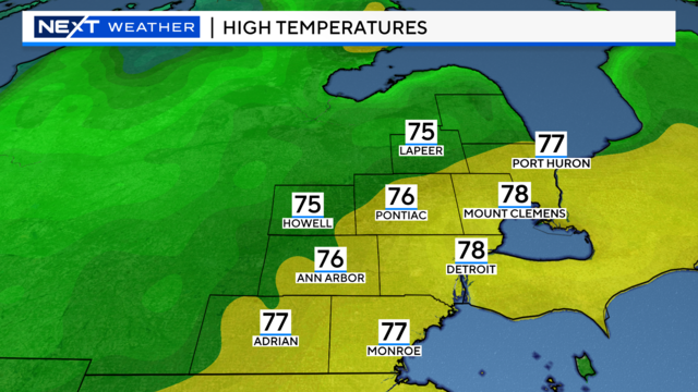
After Wednesday's cold front passed through, Thursday will feel more comfortable with mild temperatures and less humidity.
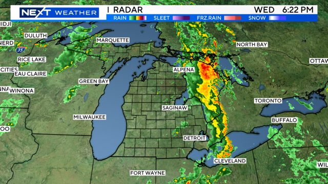
Showers and storms move into Michigan on Wednesday ahead of a cold front.
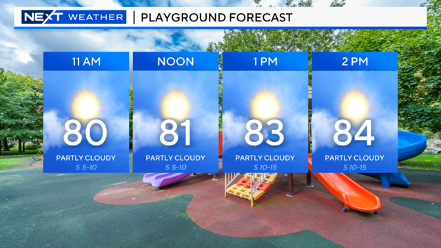
Hot temperatures will continue into Tuesday as temperatures soar into the 80s.

Heavy rain is possible this weekend, but fortunately, the majority of it should fall in the overnight hours.
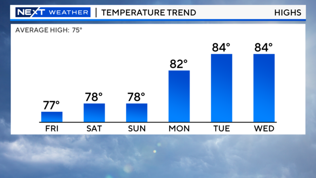
Continuing high pressure over Michigan will keep Friday sunny and warm.
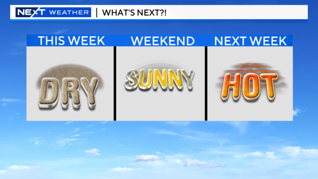
Dry weather continues as temps warm up and sunshine takes hold for the end of the week.
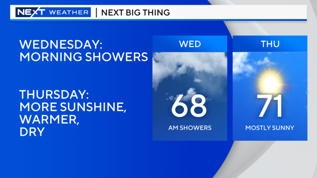
Showers and storms will continue into Wednesday morning, but that could be the last of it for a little while.
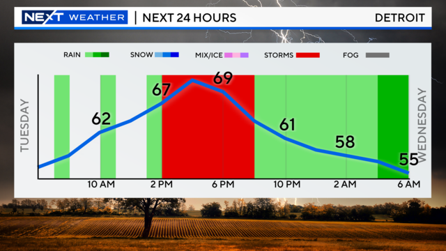
Tuesday will bring another round of showers and storms to the area.

Keep the umbrella with you if you have outdoor plans for Memorial Day.
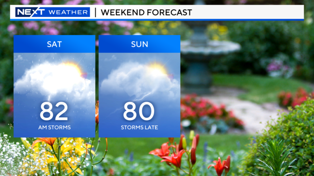
Showers and storms could move in Friday night, and we could see more during Memorial Day weekend.