Cold weather advisory in effect, lasting until noon Tuesday
Chicago's actual low of -5 degrees is forecasted by Tuesday morning, with a few passing snow flurries.
Watch CBS News
Chicago's actual low of -5 degrees is forecasted by Tuesday morning, with a few passing snow flurries.

A cold weather advisory is in effect until noon.
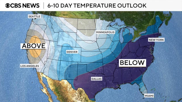
A polar vortex dipping down from Siberia is bringing a cold front with frigid temperatures to millions Americans. See maps of the arctic blast.

Actual air temperatures Sunday night will dip to a low around -2, while highs Monday afternoon will peak toward 10 degrees.
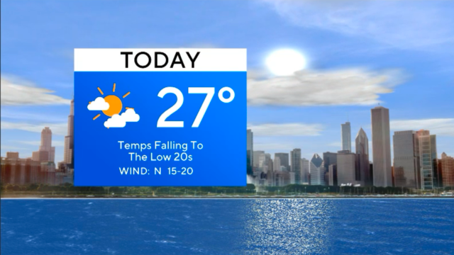
Temps continue falling for the next few days.

Chief meteorologist Albert Ramon has the latest First Alert Weather forecast.

A cold front arrives Friday night, switching the winds to a northerly direction and sending temperatures down.

Thursday's highs will be in the upper 30s with clouds and a few flurries possible.

Light fluffy snowflakes are expected overnight, with lows in the teens feeling like the single digits.

Due to a northwesterly wind, wind chills will range from -5 to -15 degrees overnight throughout the start of Tuesday morning.
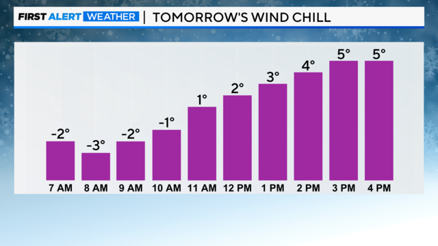
Overnight Sunday into Monday, temperatures are expected to drop to the low teens, but due to breezy conditions, wind chill values will drop as low as -5 late Sunday night through Monday morning.

Only minor amounts of snow are expected through Sunday afternoon, likely less than an inch.

Meteorologist Mary Kay Kleist has the latest First Alert Weather forecast.

Expect a few snow flurries today before snow showers arrive after midnight tonight due to a clipper system.

Snowfall is expected to ramp up during the Friday morning rush.

It won't feel as bitterly cold as temperatures rise in the middle to upper 20s.
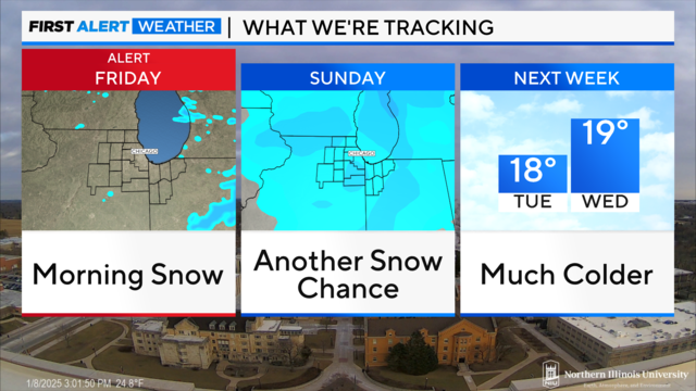
Even though the wind won't be very strong, it will still feel like the single digits stepping outside for wind chills Wednesday night into Thursday morning.
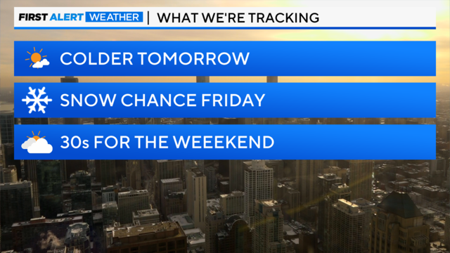
Wednesday will be the coldest day this week with highs only topping out in the lower 20s at best.

Everyone is still advised to be careful of slick area roads and sidewalks with ice patches.

A winter weather advisory is in effect until 4 p.m.
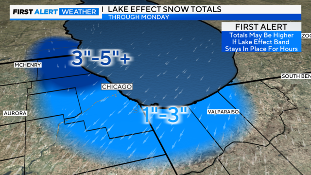
The most significant lake-effect snow is expected in Lake County, Illinois, with generally 3 to 5 inches of snow possible.
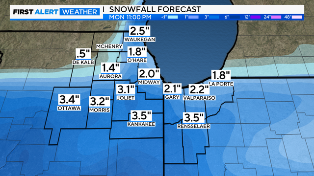
Models still favor a southerly track to the winter storm from Sunday into Monday.
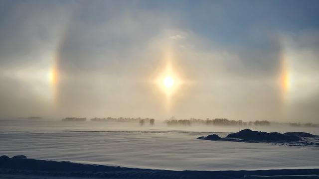
Have you ever looked up in the sky and noticed colored spots on either one or both sides of the sun? If so, you probably saw a sun dog, also known as parhelia or mock sun.

Wind chills will be below zero for the suburbs Saturday morning.

If you look up in Chicago Friday, you might spot an old friend: the sun. Reasonably clear skies return to the area as we approach the weekend, following a dreary New Year's stretch.