North Texas braces for severe storms leading into weekend
North Texas faces a chance of isolated storms and increased rain coverage leading into the weekend, with strong to severe storms expected Friday.
Watch CBS News
North Texas faces a chance of isolated storms and increased rain coverage leading into the weekend, with strong to severe storms expected Friday.

Expect the sunshine to be out in full force on Wednesday with great afternoon temperatures.
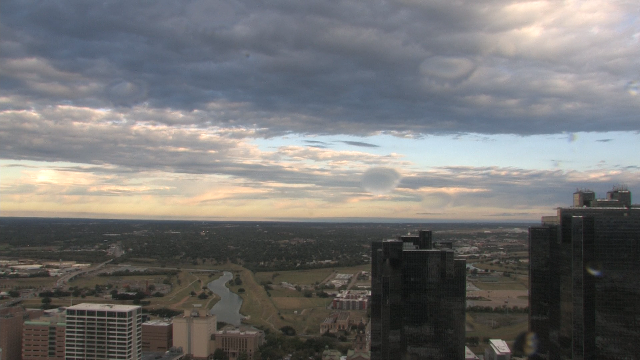
Temperatures across North Texas were about 15 to 20 degrees cooler Tuesday morning compared to the same time Monday morning.

Much cooler and drier conditions are expected Tuesday and Tuesday night

Severe thunderstorms are expected Monday and a possible squall line with damaging winds and brief, spin-up tornadoes could form. Localized flash flooding is also in play.

As November begins with gray skies, North Texas should brace for multiple rounds of rain and potential severe storms through the weekend.
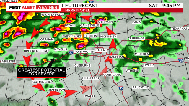
A heavier rain threat with possible flash flooding is ahead Sunday morning.

A weather alert is issued for Saturday, Sunday and Monday for the widespread showers and the risk of severe storms.
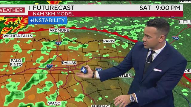
We'll see more widespread shower and thunderstorm coverage in the afternoon on Sunday, also with a severe threat.
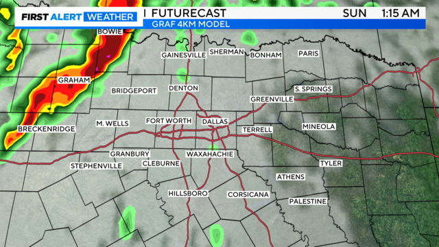
Dig out the rain gear and keep it handy this weekend.
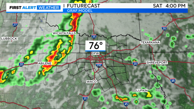
Rainfall is back in the forecast, which is great news, but some storms have the potential to reach severe criteria.

North Texas is cooling down after overnight storms moved through Wednesday night.

Strong winds continue Tuesday night and Wednesday with passing showers before the squall line arrives Wednesday night.

After what has been one of the driest Octobers on record, the rain will be a welcome sight.
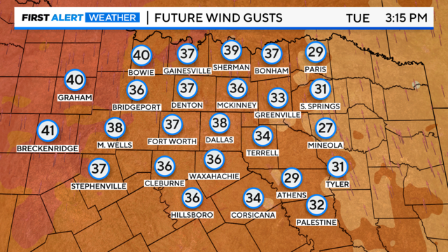
We are tracking several changes this week, with First Alerts starting Tuesday due to strong southerly winds.

A weather pattern change headed to North Texas will bring some much-needed rain into the forecast.

First Alerts are in place for Tuesday, Wednesday, and Thursday of this week.

The high-resolution GRAF forecast model is forecasting 90 to 92 degress across NTX Thursday, with the record set at 90 degrees in 2003.

First Alert days are in place for Tuesday through Thursday, but conditions should clear just in time for trick-or-treating.

Halloween is on the horizon, and North Texans can expect fall-like weather in the 80s, followed by rain and thunderstorms throughout the week.
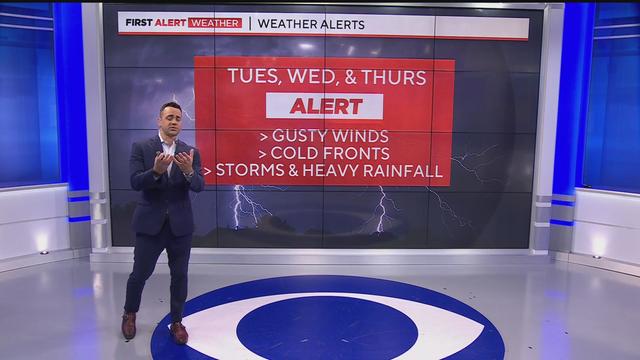
By Thursday, the activity appears to be pushing out before the evening, possibly clearing the way for trick-or-treating, though this is not definitive.

A beautiful and quiet weekend is expected, but there will be a significant increase in activity next week.

With sunny skies and temperatures reaching the mid-80s, it’s the perfect time to embrace Halloween celebrations before a a significant weather shift brings gusty winds and the possibility of rain.
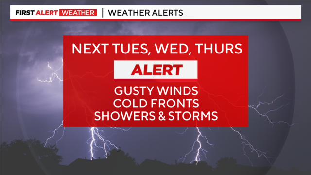
Prepare for a big weather pattern change next Tuesday, Wednesday and Thursday.
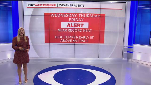
Dry and hot conditions will linger through Friday. A weekend front will dip temperatures into the mid-80s, with no chance of rainfall until the night before Halloween.