NEXT Weather: Ian's remnants finally losing a grip on Philadelphia region
Ian's influence is moving east, meaning the rain, wind and coastal flooding issues are all coming to an end.
Watch CBS News
Ian's influence is moving east, meaning the rain, wind and coastal flooding issues are all coming to an end.

Our NEXT Weather alert for the Philadelphia region will expire Tuesday night.
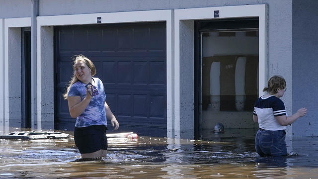
At least 28 people died due to the storm, and many more were left without a home.
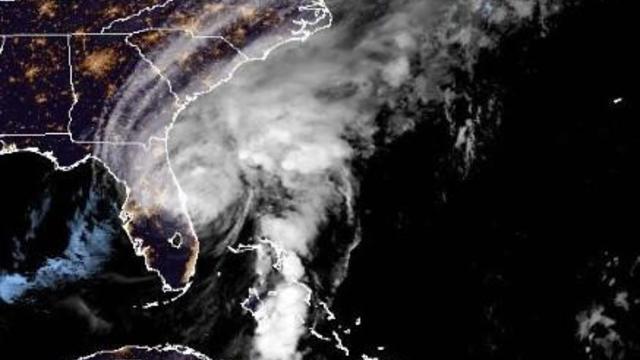
It made landfall over southwestern Florida as a major Category 4 hurricane and, while downgraded, was still packing a powerful punch overnight.
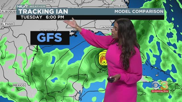
Meteorologist Llarisa Abreu has the latest weather forecast.
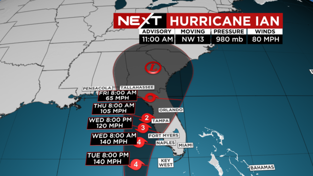
The entire state of Florida is under a Flood Watch as Hurricane Ian, a Category 2 storm, gets closer to the state's Gulf Coast.
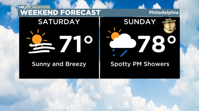
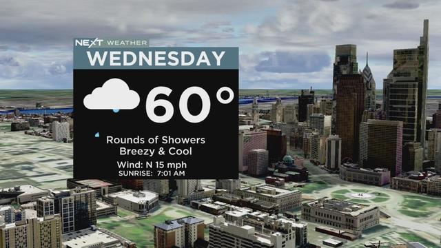
Breezy northwest winds will make it feel a few degrees cooler than the actual temperature. Highs will range from the upper 60s to low 70s.
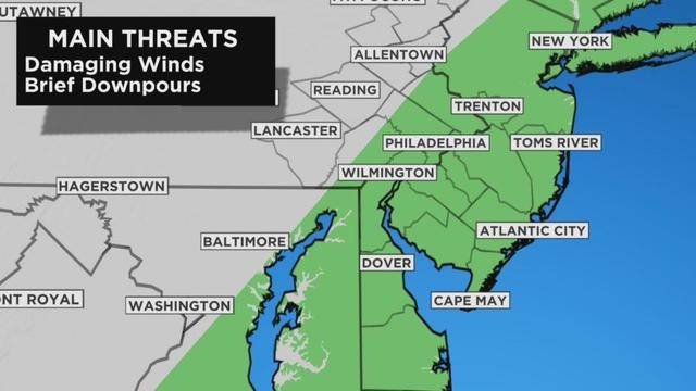
The rain should come to and end by 4 p.m.

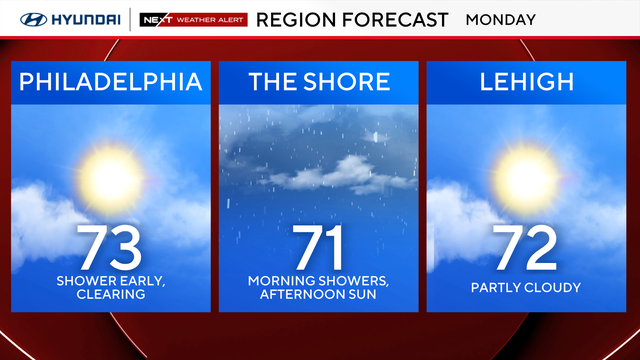
We are technically still in the grips of summer until Thursday, and it will feel very summer-like on Monday as the Eagles welcome the Vikings to town.

Our cameras caught flooding in between two traffic circles that deceived drivers on how deep it was until they were moving through it.
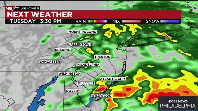
Tuesday's storms will provide much-needed relief from the drought affecting the Philly region, especially South Jersey.
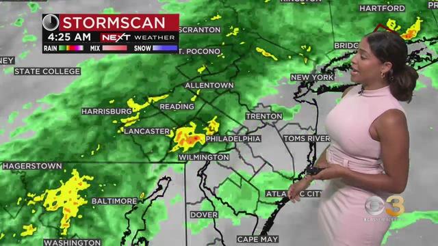
Llarisa Abreu has the latest weather forecast.
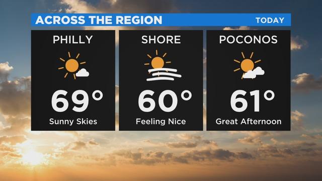
Highs today will still be very warm, likely jumping into the upper 60s to near 70 for much of the region.
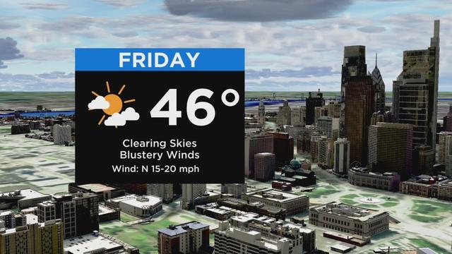
The main headline this Friday will be strong winds.
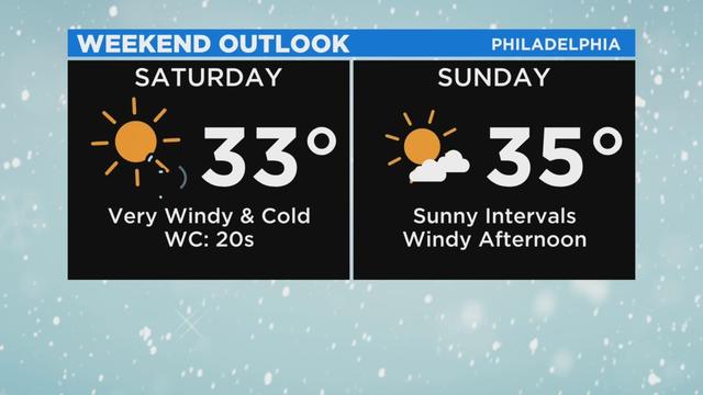
Today we will be playing the waiting game on a cold front that will eventually sweep through the area.
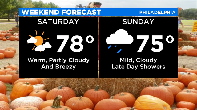
Hurricane Delta rapidly downgraded to a tropical storm and is expected to further weaken to a tropical depression by Saturday afternoon.

The heat and humidity will peak on Tuesday and Wednesday of this week.
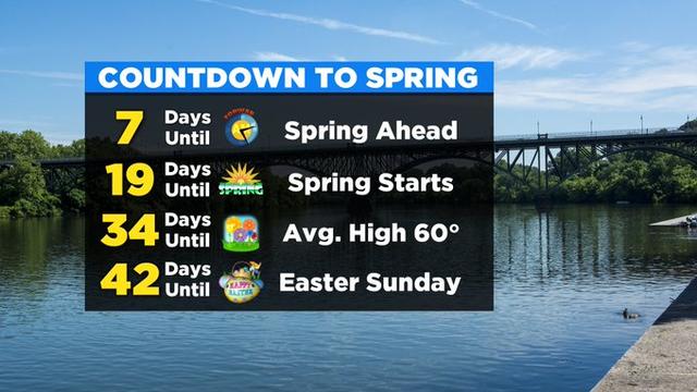
While we tend to think of March as the beginning of the end of the Winter Season, we still need to remember that winter does officially continue for another 19 days.

Two southern New Jersey counties have issued a "Code Blue" weather advisory ahead of cold temperatures moving into the region.
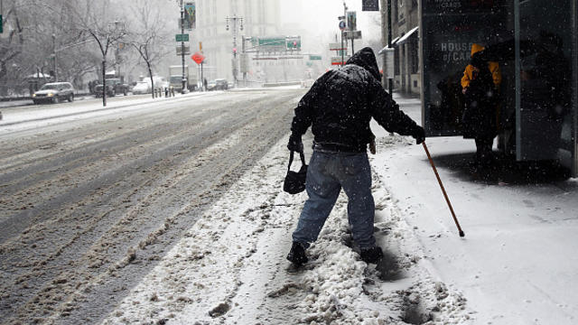
Camden County has issued a "Code Blue" weather alert ahead of sub-freezing temperatures heading into the region.

Bucks County has issued its first "code blue" weather declaration of the season from beginning Tuesday and lasting until Thursday.

Pennsylvanians could be expecting their darkest and coldest day of the winter next month.
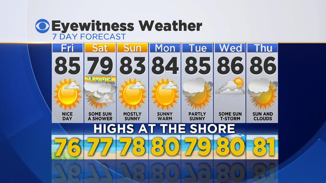
Showers have now cleared the region and cooler, less humid air is arriving. We'll enjoy a fabulous Friday with highs in the low to mid 80's and lower humidity.

The Morning app wakes you up and instantly lets you know what the weather will be like that day, what your calendar looks like and more.
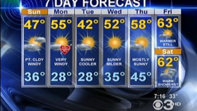
A storm free week…let me say that again, louder, A STORM FREE WEEK!!!!