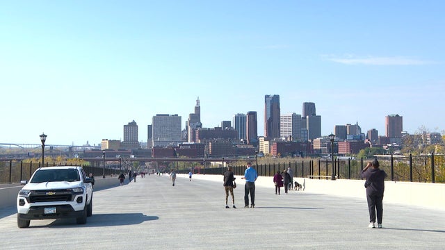
Warm week ahead for Twin Cities after breezy Sunday
Temperatures will reach the upper 60s on Sunday and it will be breezy.
Watch CBS News
Temperatures will reach the upper 60s on Sunday and it will be breezy.

Monday is expected to be mostly dry and cool, with a few scattered showers in southern Minnesota amid a cool stretch.
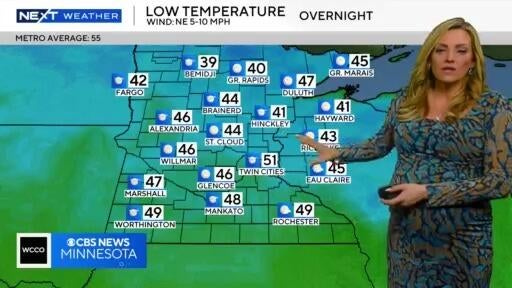
Temps are expected to hit the 70s on Tuesday, and there's a chance for some rain in the evening on Wednesday.

People in the Twin Cities will see sunny conditions on Tuesday and a high temperature of around 70 degrees.

It'll be a beautiful day Sunday, with temperatures hitting the 70s before a rainy Monday.

Saturday is expected to be cooler and less humid than Friday in Minnesota, with lighter winds, sun and high temperatures in the mid-70s.

It'll be a mostly sunny day Thursday with light winds, but the humidity starts to pick up Friday ahead of some scattered showers.
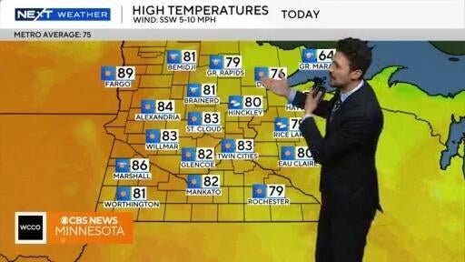
Thursday will be warm and sunny, before some storms Friday.
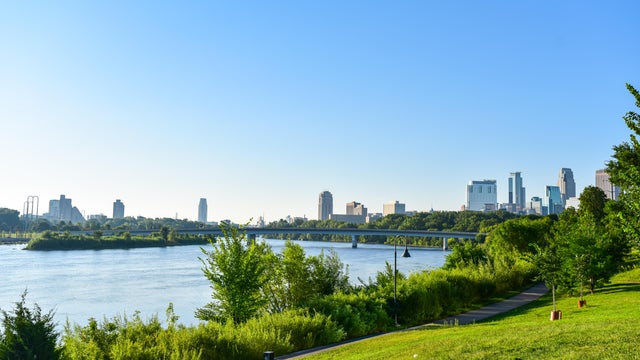
Wednesday is expected to be breezy, with scattered clouds and comfortable temperatures in the upper 70s and low 80s.
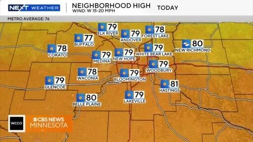
It'll be a quiet and seasonable day as dew points drop.

A better chance for storms arrives Thursday night across central and northern Minnesota. A few could be severe with a slight risk for wind and hail.
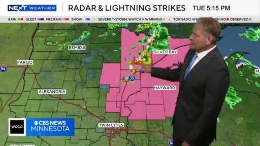
Skies are expected to clear and it’ll get less humid as rain and storms push to the east.
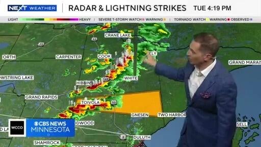
Some rain and storms to the north push through Minnesota on Tuesday night, but skies will clear.

Minnesota's Drought Monitor Map shows that a part of northwestern Minnesota is now experiencing extreme drought conditions and much of northeastern Minnesota is in severe drought.
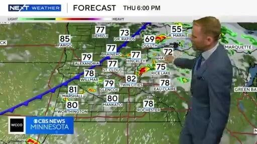
A round of storms is expected to move through Thursday evening, and there's the chance for hail and strong winds.

Expect lots of sun by Sunday afternoon and Monday, with seasonable highs near 80.
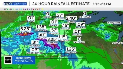
Some much-needed rain is moving through Minnesota, and Saturday will be a #Top10WxDay.
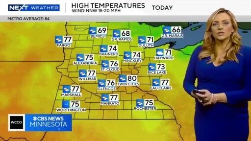
It's a much less humid Tuesday, though the winds will be strong. Wednesday is a #Top10WxDay!
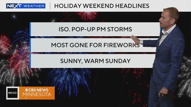
With more heat and humidity, isolated storms are back in the forecast for our Fourth of July festivities. Meteorologist Adam Del Rosso breaks down the latest forecast.

After a few weeks of cooler-than-average weather, the summer heat is making a comeback.

The Twin Cities is about to enter one of the most uncomfortable stretches of weather in months, with dangerously hot conditions set to dominate the forecast through the end of the week.

A super El Niño could be in the forecast for the upcoming months. So what does that mean for Minnesota weather?
Saturday and Sunday will be breezy and cool in the Twin Cities as crisp Canadian air settles in.
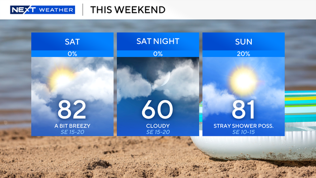
Our summer-like temperatures will continue through the weekend.

Saturday will start cloudy in the morning, but the sun should be out by Saturday afternoon. High temperatures will be in the 70s.