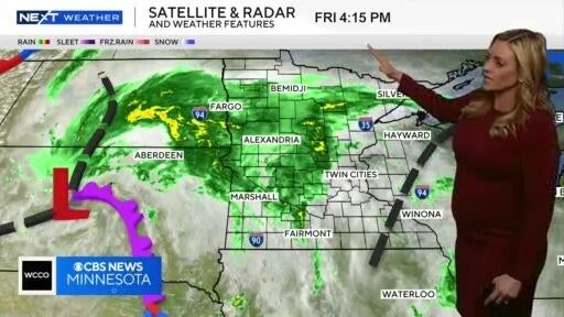
NEXT Weather: 4 p.m. report on May 22, 2025
Most of the rain will be hitting the metro overnight, bringing less than a quarter inch of rain.
Watch CBS News
Most of the rain will be hitting the metro overnight, bringing less than a quarter inch of rain.
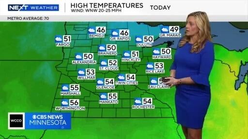
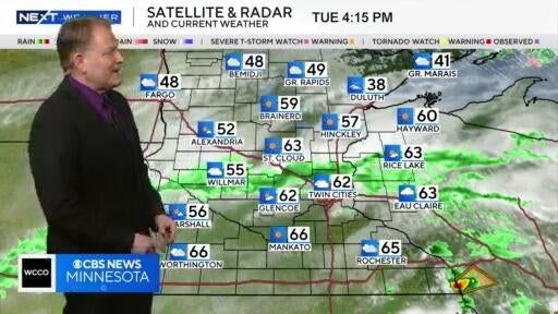
It'll be a slightly gloomy Tuesday with temps reaching the mid-50s.
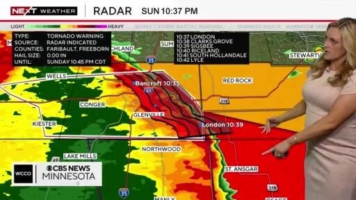
A severe line of storms is pushing through southern Minnesota, with a tornado watch in place until 1 a.m.
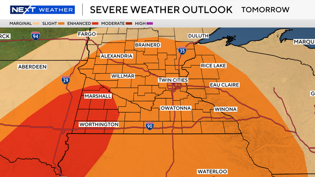
Saturday looks perfect with ample sunshine, highs in the low 80s and less wind than previous days. Things turn active on Sunday.

Saturday will be a little cooler than Friday, with temperatures in the low-to-mid 60s.
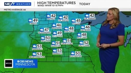
It'll be another chilly evening Wednesday, though temps are expected to warm before the weekend.
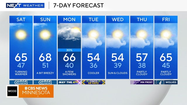
We warm up on Saturday as temperatures will hit a high in the mid-60s. The start of the day will be sunny, but clouds will move in by the afternoon.

Clouds will linger throughout Saturday with the high temperatures reaching in the low 60s.
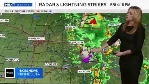
Storms are pushing through southeastern Minnesota, and Saturday will feel chilly, with temps in the 30s.
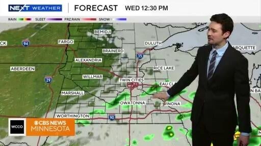
Enjoy a couple of warm, mostly quiet days before more active weather and cooler temperatures return.
Midweek temps will reach into the 70s, and it’ll stay dry before another severe weather threat on Friday.
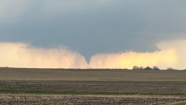
Severe storms that produced several tornadoes and widespread hail rolled through southern Minnesota on Monday afternoon and evening.
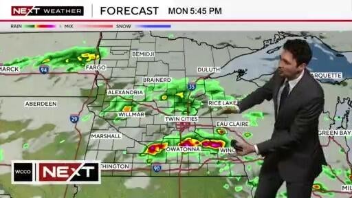
After a warm and humid morning, storms are expected to develop in Minnesota, bringing hail and strong winds.

Saturday high temperatures are expected to hit the 50s.
Saturday's temperatures drop back into the 30s, with a high of 38 in the metro and 32 in northern Minnesota.
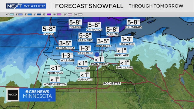
Northern Minnesota could see a few inches of snow as another storm pushes through, and though the Twin Cities will see some flakes, NEXT Weather Meteorologist Mike Augustyniak says there won't be much accumulation.
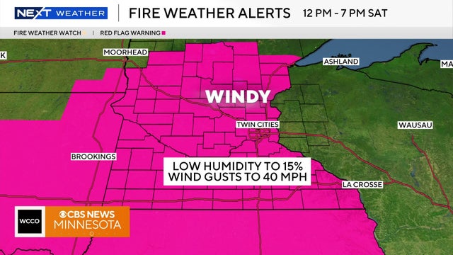
Saturday will start cool but will warm up throughout the day with the high temperatures hitting in the low to mid 50s.
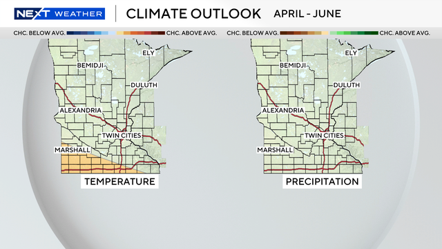
As of late, the warmth is winning out, but Minnesotans know all too well that winter can often make a quick encore.
Friday saw our warmest day of the year, so far. Saturday will see even warmer temperatures with highs potentially hitting the 70s.
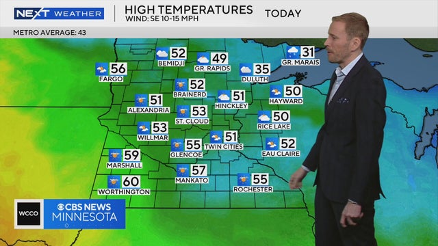
It's warming up and there are signs of spring as temps could reach the mid-50s on Thursday.
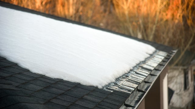
Melting snow will accelerate this week, but areas of fog and low clouds could slow the warmup for some neighborhoods, especially to the south and west.
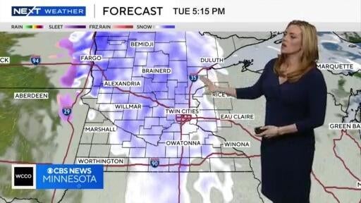
It'll be a mild and breezy Monday, but snow starts to move in again on Tuesday evening.
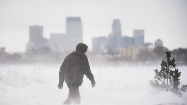
The major weekend snowstorm in Minnesota is winding down Sunday evening, but a NEXT Weather Alert will remain in effect into overnight Monday.
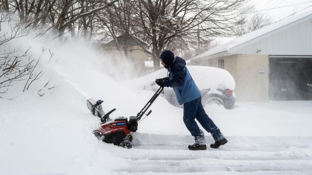
Minnesotans are preparing for a winter wallop. There have been no big changes to the forecast overnight. Everything remains on track for Minnesota's major winter storm, with major impacts from Saturday evening through Sunday.
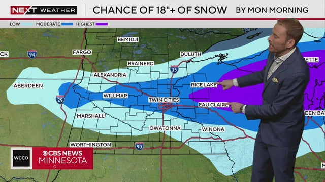
No big changes to the forecast overnight. Everything is still on track for our significant winter storm with major impacts tonight through Sunday. We're dry for most of today, but snow picks up in coverage and intensity, mainly after 7pm, with the heaviest after midnight with 1-3" per hour snowfall rates