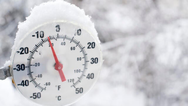
Extreme cold warning issued for most of MN
An extreme cold warning is in effect for much of the state, with parts of southern and eastern Minnesota as well as western Wisconsin under a cold weather advisory.
Watch CBS News
An extreme cold warning is in effect for much of the state, with parts of southern and eastern Minnesota as well as western Wisconsin under a cold weather advisory.
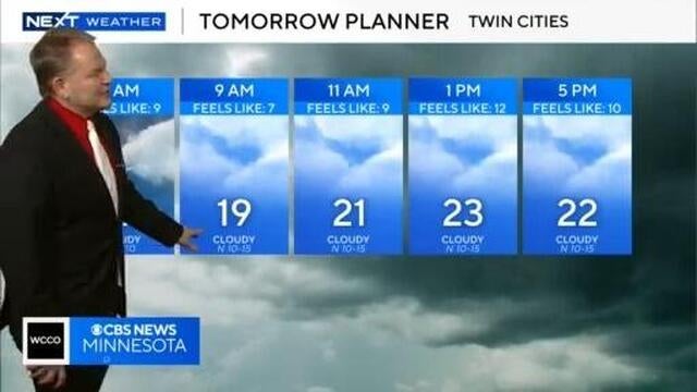
Meteorologist Chris Shaffer says Saturday will be cloudy and breezy with a possible quick burst of light snow late.
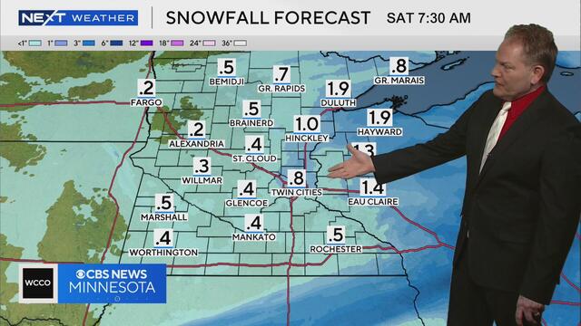
Meteorologist Chris Shaffer says there may be close to an inch of snow accumulation in the Twin Cities by Saturday morning.
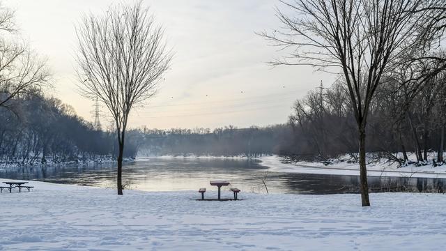
A cold weather advisory is in effect from Wednesday night until 9 a.m. Thursday in the Twin Cities.
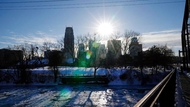
Highs in the Twin Cities on Tuesday will be in the single digits, and some spots around the state won't get above zero.
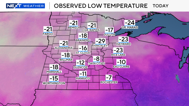
Minnesota is in the midst of experiencing a stretch of cold air, but which areas in the state saw the coldest air Tuesday, and just how cold did it get?
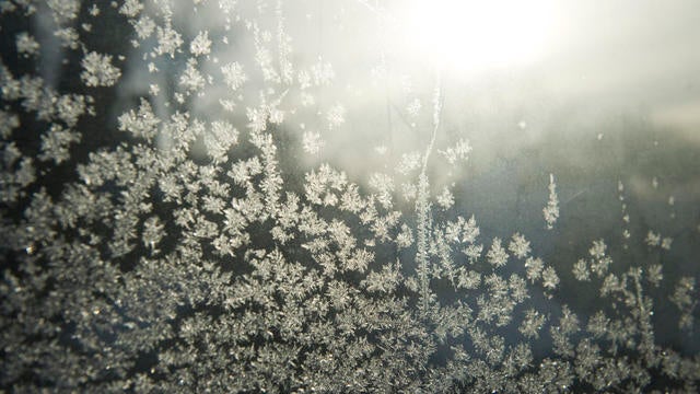
Monday marked the seventh consecutive day of below-average weather in the Twin Cities, and the trend will continue for around 11 more days.
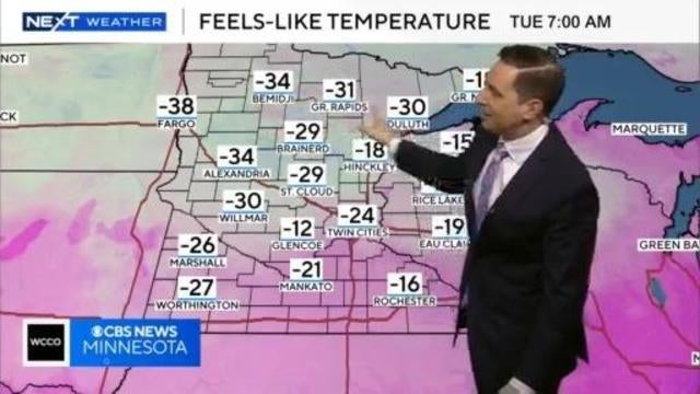
Meteorologist Mike Augusyniak says cold weather advisories are in effect Monday night in areas west and north of the Twin Cities.
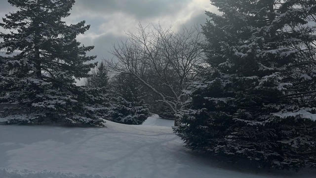
Cold will take over the Twin Cities on Monday, and there's a slight chance for some light snow.
Highs reach the upper teens in the afternoon with wind chills in the single digits. It will be mostly sunny all day.
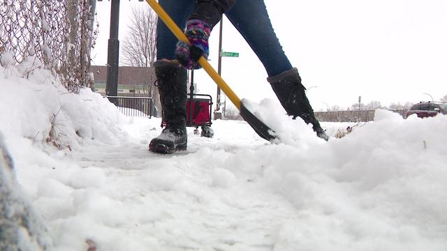
Those living in Minneapolis and St. Paul have 24 hours to get that done after a snow storm, but if you need some help, it's available to you thanks to a group called "Saintly City Snow Angels."
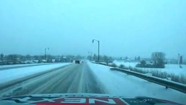
Snow will continue to fall Saturday morning following overnight flurries, giving way to a dry and cold rest of the weekend.
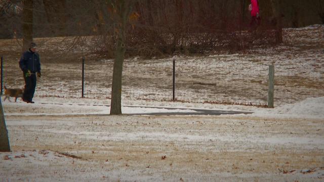
Despite the frigid temperatures so far this winter, the amount of snowfall in Minnesota is still significantly below average.
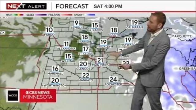
Meteorologist Adam Del Rosso says snow will continue to fall Saturday morning, with most of the system clearing out of Minnesota by the afternoon.
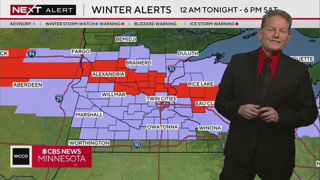
Metorologist Chris Shaffer says the metro could see between 2 and 4 inches of snow by Saturday afternoon, with areas to the north seeing more accumulation.
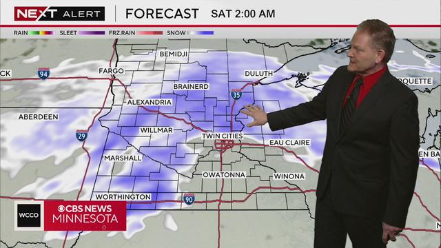
Metorologist Chris Shaffer says the Twin Cities could see nearly three inches of snow accumulation by Saturday afternoon, according to the latest models.
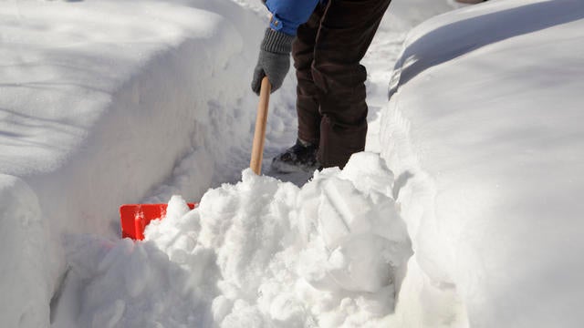
A storm bringing accumulating snow is anticipated to arrive Friday night into Saturday morning.
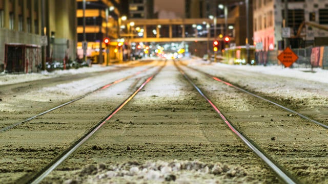
Expect a few slick roads Wednesday night in the Twin Cities due to light snow from a passing system — with a larger snow system hitting this weekend.
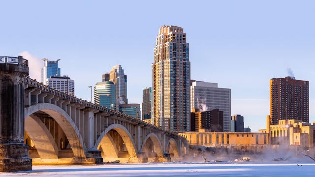
Tuesday will be cold and dry in the Twin Cities, but more snow is ahead in the forecast.
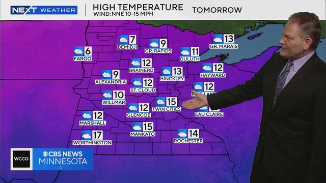
Meteorologist Chris Shaffer says high temperatures will be in the teens across the Twin Cities on Tuesday.
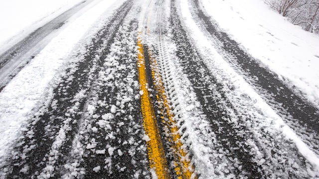
After the Twin Cities were treated to the first substantial snowfall of 2025, Monday evening will be mostly cloudy and cold.
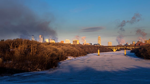
Another round of snow will move in Sunday night closer to midnight impacting morning commute across central Minnesota.

The Minneapolis Loppet is still on despite our lack of snow this winter.
On Thursday, the metro will take another run at a daily record high with help from plenty of sunshine.
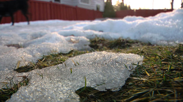
Tuesday will be breezy and warm with clearing clouds in the Twin Cities.