Winter Storm Watch, Advisory For Christmas Eve
That dream of a White Christmas may just become a reality for many people in the Chicago area.
Watch CBS News
That dream of a White Christmas may just become a reality for many people in the Chicago area.
A storm moving through the Gulf Coast on Tuesday should make its way to the Midwest on Wednesday, and bring a very thin band of heavy snow with it as temperatures drop below freezing.

Chicagoans could be easily excused for feeling as if they are constantly walking under a dark cloud.

This year has not only been one of the coldest in Chicago, it is also one of the few places on the entire planet that was colder than average this year.

This is the week when the heavy coats, gloves and mittens are out of the closet and here to stay for the next several months.

The high at 7:15 a.m. was expected to be 47 degrees -- one degree lower than the lowest high set on Oct. 4, 1935, National Weather Service Meteorologist Kevin Donofrio said.

Rain fell steadily across the Chicago area Wednesday morning, and though the storm system has begun clearing out as it heads east, more rain could be on the way Wednesday evening.

Some potentially strong thunderstorms were bearing down on the Chicago area Thursday morning, and could bring torrential rain, frequent lightning strikes, and winds of up to 50 mph.
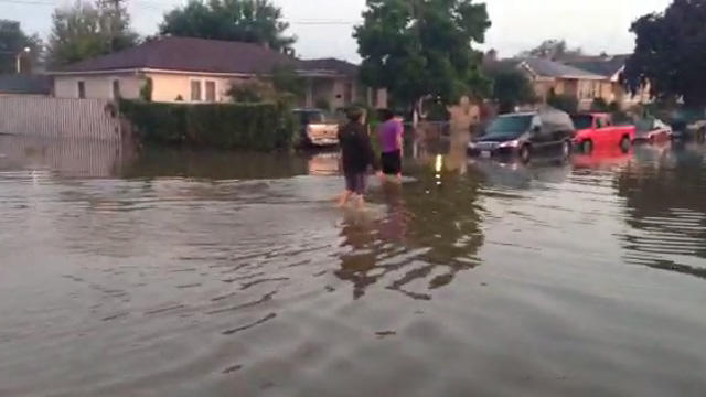
Heavy rains have caused major flooding across much of the Chicago area overnight, especially in the southwest suburbs, where at least two school districts were forced to cancel classes at all its schools.

Several inches of rain fell across the Chicago area overnight, particularly on the South and Southwest sides, prompting road closures and CTA delays.
Parts of the Eisenhower Expressway were closed for more than four hours and part of the CTA's Blue Line was shut down temporarily early Tuesday because of flooding from storms.

High waves on Lake Michigan have prompted a warning for boaters and swimmers, due to potentially deadly currents on the water.

Hot and humid conditions in the Chicago area on Tuesday could spark a severe thunderstorm by the end of the day, before giving way to much milder conditions on Wednesday.
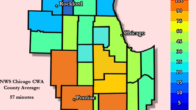
Residents in much of Chicagoland typically ride out a tornado warning for anywhere from 45 to 60 minutes, according to data from the National Weather Service.

As of late Tuesday morning, the official temperature in Chicago was only 64 degrees, which is the normal low for mid-July. The average temperature for July 15 is 74 in Chicago, and the normal high is 85, according to the National Weather Service.
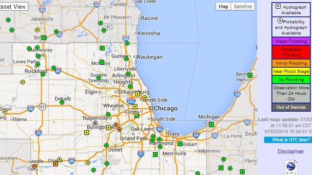
Monday's deluge resulted in isolated flooding, but four Chicago area rivers remain near their flood stage, according to the National Weather Service.

Tens of thousands of homes and businesses in the Chicago area were still without power Wednesday morning, more than a day after two severe storms pummeled the region.

Last night's storms were the equivalent of a boxer throwing a stiff jab followed by a devastating hook.

The NWS confirms two brief EF-1 tornadoes occurred Monday evening, with one near the town of Earlville and the second in Plainfield.

A line of severe thunderstorms hit the Chicago area Monday, causing power outages, flight cancellations and delays and other problems. By late Monday, a second wave of storms was expected.
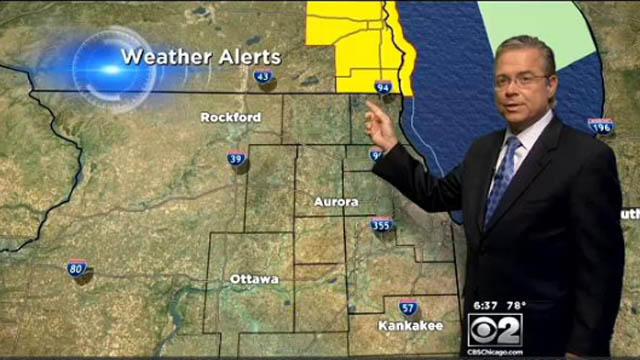
CBS 2 Meteorologist Ed Curran reports a tornado watch had been issued for several counties in northern Illinois early Tuesday, but it was later cancelled several hours earlier than scheduled as the system fell apart in Illinois, and the heaviest storms moved into Wisconsin.
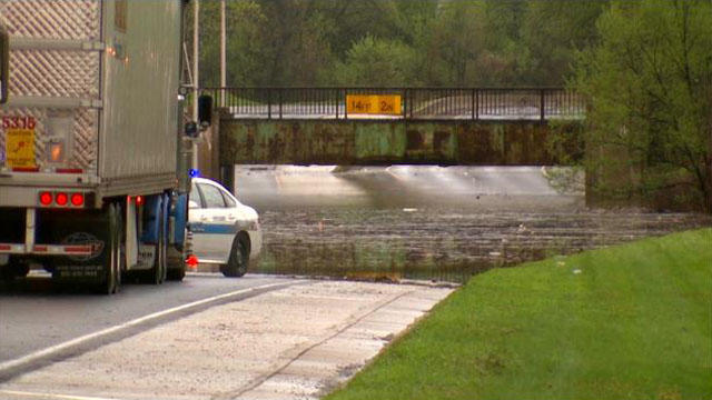
Though some of the flooding from Monday's thunderstorms has receded, the Des Plaines River was still overflowing its banks on Wednesday, and the North Branch of the Chicago River was near flood stage in some areas, with more rain on the way Wednesday evening.
Heavy rainfall from a series of thunderstorms that moved through the Chicago area on Monday and early Tuesday left several roads impassable, and many basements flooded, especially in the northern suburbs, where the rain was heaviest.
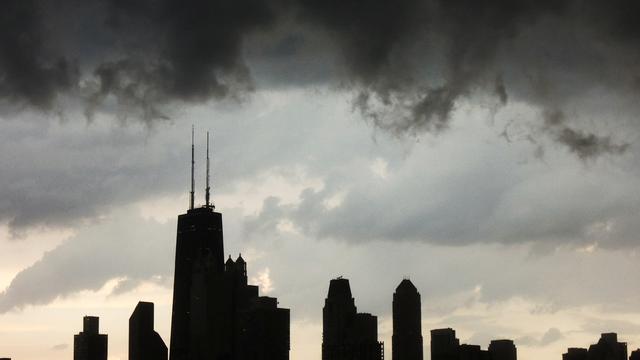
After the storms swept through the area, nearly 9,000 ComEd customers in the west, southwest and south suburbs were left without power, according to ComEd. The majority of outages were reported near Harvey in Blue Island, where more than 6,300 customers were without power Sunday night.
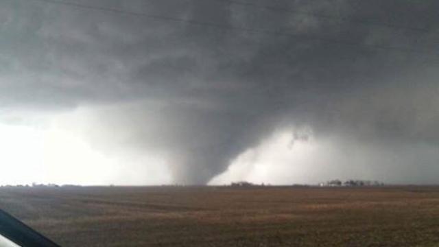
Researchers looked at 60 years worth of climatological data from the National Weather Service's Storm Prediction Center, and found tornadoes touch down most often in "transition zones" – areas where a dramatic change in landscape takes place.