Weather Blog: Stormy and Cold Start to New Year
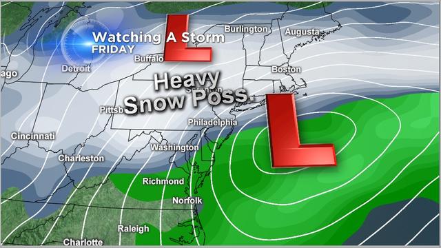
We'll enjoy cold but quiet weather for the first day of 2014, and then everything changes as two areas of low pressure set their sights on the area.
Watch CBS News
We'll enjoy cold but quiet weather for the first day of 2014, and then everything changes as two areas of low pressure set their sights on the area.

The nice streak of weather will continue through the weekend, but next week, we could finally see some rain move back into the area.

The Harvest Moon tends to rise earlier than other full moons, so moonrise often occurs around sunset. This often gives the moon a reddish cast, and as it's rising, it appears very large and imposing.

Kate Bilo is in quaint and beautiful Cape May for this "Orr at the Shore."

Kate Bilo kicked off the first week of the program Monday by reading to children at the Torresdale Library on Holme Avenue in Northeast Philadelphia.

The last time it actually SNOWED more than an inch on Christmas Day was in 2002, when around an inch of snow came down, and the last time it snowed more than an inch on Christmas Eve was all the way back in 1966.

By now, everyone is aware that we'll be facing the threat of a potent nor'easter on Wednesday, but even as the storm time frame approaches, the models continue to throw curveballs.
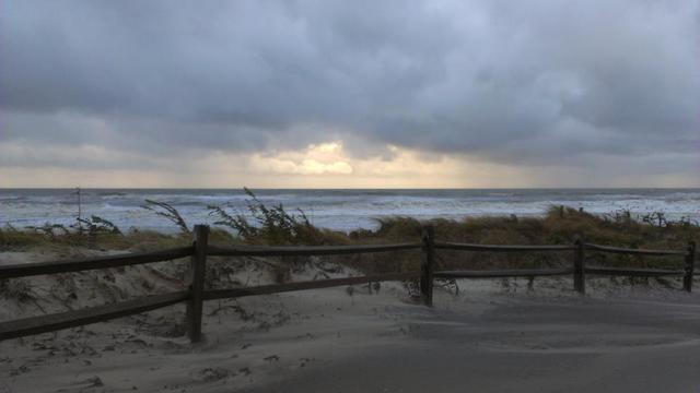
It does indeed look like there is a chance that a storm forms off the southeast coast late Tuesday and then moves northward. The question is: Where does it go after that?
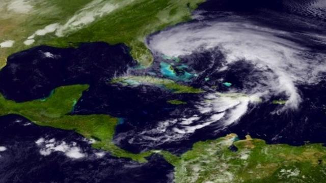
As Hurricane Sandy bears down on our area, there are some questions and possible misunderstandings that should be addressed.

It may be the end of October, but temperatures are feeling summerlike and we've got another "summertime" issue to be concerned about: trouble in the tropics and a potential threat to the Eastern seaboard.
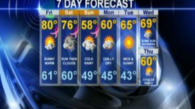
We've been enjoying a nice little blast of summer-like warmth here in the first week of October, but that's all about to change this weekend!
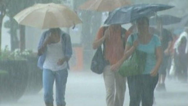
Remember the first week of September last year? All the kids going back to school, Labor Day picnics and, oh yes, over 6" of rain in four days thanks to the slow-moving moisture and circulation around what was once Tropical Storm Lee. This rain led to some of the worst flooding Central PA has ever seen.
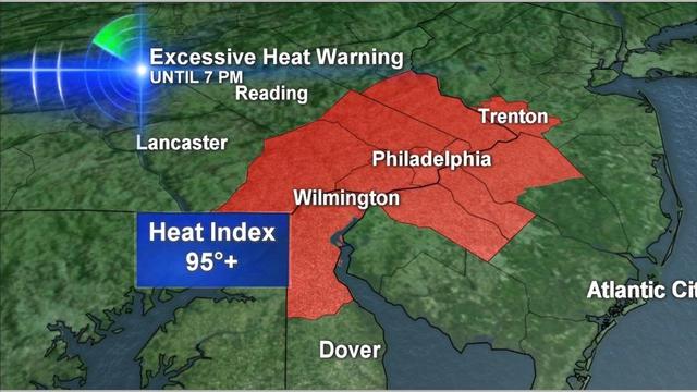
The Memorial Day holiday has come and gone, and it didn't quite feel like May - with a high of 91 and afternoon Heat Index values as high as 95 in the city, it felt more like the 4th of July. And today is even hotter!

It was a gorgeous weekend for most of us (especially those away from the coast), but we are now paying our dues as a week of unsettled weather sets up across the Delaware Valley.

Today marks the last day of astronomical winter across the nation, though you'd never know it step outside here in Philadelphia, with temperatures again surpassing the 70 degree mark today.
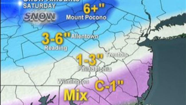
Well, we made it through our first real snow of the season - the official total thus far at the airport was 2.3", which means today's snow was more than four times the previous total for the entire winter thus far.

After a pretty snow-starved winter, we finally have a few chances for snow in the forecast. Nothing huge, and if this were last year or the year before, it would be merely a blip on our colelctive radar, but for those who have been patiently awaiting the arrival of ANY snow, it will be welcome.
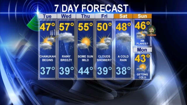
We've been enjoying some pretty fantastic weather across the Delaware Valley lately, but that looks like it might change this week as a much more active pattern begins to develop over the Northeast.

We continue to track the potential for a coastal storm this weekend, and now the information is all starting to agree that the storm will be happening.

By now, everybody has heard about the potential for a coastal storm on Saturday afternoon that COULD bring parts of our area the first snowflakes of the season. We will update as things become more clear but just wanted to send an email detailing our current thinking.

On Monday, the city of Denver, CO hit a record high of 80 degrees with abundant sunshine. The forecast for Wednesday? 34 degrees with heavy snow. Imagine going from summer to winter within the span of a day!

As of 5 o'clock this morning, Hurricane Irene was downgraded to a Category 2 storm with winds averaging 110 mph. This is a very large storm, with tropical storm force winds extending almost 300 miles from the storm's center, and the outer bands of showers were reaching eastern Florida, Georgia and the Carolinas Friday morning.

At this point, my feeling is that our entire area needs to prepare for heavy rainfall and the threat for tropical storm-force winds, even perhaps hurricane-force gusts, especially down the shore.

So now that we've officially had the hottest July on record and the wettest August on record, the chatter in the newsroom on Friday turned to - what's September going to bring us?!