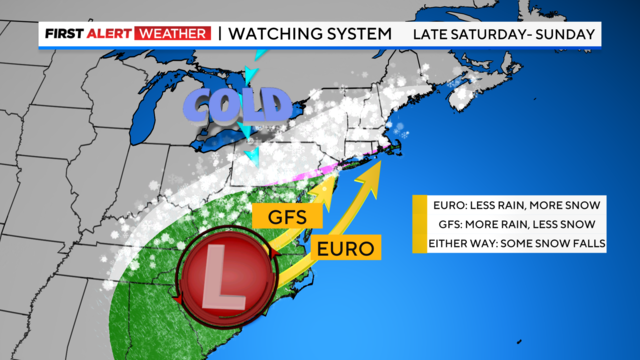
How much snow will NYC, New Jersey, Connecticut and Long Island get this weekend?
At this point, it's looking like a mix of rain and coastal winds with a healthy amount of mixed precipitation and a heavy, wet snow in our suburbs.
Watch CBS News
At this point, it's looking like a mix of rain and coastal winds with a healthy amount of mixed precipitation and a heavy, wet snow in our suburbs.

Today will bring lots of sunshine, with highs in the low to mid 40s. We're also watching the potential for a significant winter storm to impact the region late Saturday into Sunday.

Doctors say all of the parents and babies are now resting for the new year.

The rain and snow showers of Sunday night will linger early New Year's Day, then translate to mostly cloudy skies.

There could be a stray sprinkle or flurry as we approach midnight, but nothing that will dampen the celebrations in Times Square!
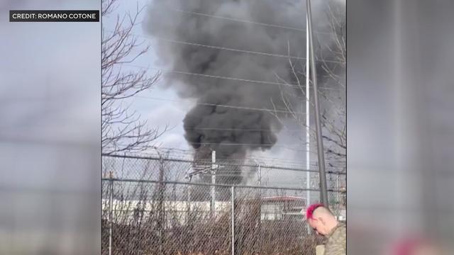
Officials say two people were being treated for burns and one was being treated for smoke inhalation.
This past month has seen above-average warmth, which has placed it in second place for the warmest December ever.
Friday starts off cloudy with spotty rain showers, but we'll see some brighter breaks heading into the evening. Temperatures are mild with highs around 54.
Steady rain exits to our east, then it will be cloudy with spotty drizzle around. Highs around 53.
We've issued a Yellow Alert late Wednesday afternoon through Wednesday night for pockets of heavy rain that could lead to some localized flooding.

A great investigative news tip should explain the situation in detail, be newsworthy, and have real-world consequences.
Today we'll see morning clouds and fog, then mostly cloudy the rest of the day with highs around 50.
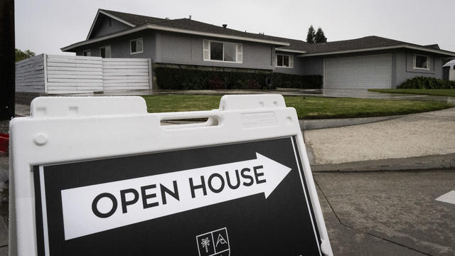
Home prices are still costly, due to a lack of inventory, keeping the market hot.
We've issued a Yellow Alert for a rainstorm arriving Wednesday that could lead to more flooding.
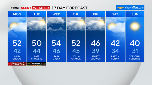
Morning clouds and patchy fog will give way to more breaks of sun with highs in the low 50s.