Yellow Alert issued for possibly severe storms Sunday
Damaging wind gusts are the main threat, but we can't rule out small hail or an isolated tornado northwest of NYC.
Watch CBS News
Damaging wind gusts are the main threat, but we can't rule out small hail or an isolated tornado northwest of NYC.

Thousands lined the streets of downtown Hartford on Saturday to celebrate UConn's second straight NCAA men's basketball championship, and sixth in 25 years.

Highs will be in the low to mid 50s, but a blustery wind gusting 30+ mph will make it feel more like a late winter day.
Expect leftover rain chances and lingering wind gusts, with highs in the mid-60s. See the full weekend forecast.
The fast-moving line of storms is capable of producing heavy rain, thunderstorms and gusty winds.
A fast-moving line of storms that is capable of producing heavy rain, thunder and gusty winds Thursday night into Friday morning

The tickborne disease is usually seen in the Southeast and Southwest but with warmer weather, cases do happen in the Northeast.

The Huskies earned the sixth men's title in school history with a 75-60 win over Purdue on Monday night.
We're at peak warmth of the week Tuesday. Highs will be in the 70s, feeling more like late May or early June.
There will be some clouds streaming in Monday afternoon, too. But they won't have much of an effect on our view of the solar eclipse.
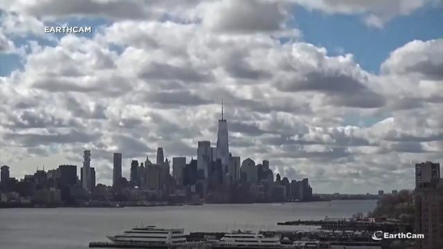
Aftershocks in the New York City area could continue for a week after one of the East Coast's strongest earthquakes in 100 years.

Sunday looks to be the beginning of a mini warming trend, as highs reach the mid to upper 50s with less wind and more sun.
Saturday remains on the cool side in the Tri-State Area with highs in the low to mid 50s.
Friday will be party sunny to mostly cloud and blustery, with a passing shower in the afternoon. High will be around 50 degrees.
While the rain may be winding down, places along the coast and flood-prone rivers will see the waters continue to rise.