Warming trend begins Wednesday; storm set to arrive Friday
Highs will rise to the 50s on Wednesday as part of a gradual warming trend that will bring the Twin Cities into the 70s by the end of the week.
Watch CBS News
Highs will rise to the 50s on Wednesday as part of a gradual warming trend that will bring the Twin Cities into the 70s by the end of the week.

After several spots in Minnesota saw record warmth on Monday, Tuesday's forecast may be a bit of a letdown.
Monday is bringing both record-breaking heat and an elevated fire risk to Minnesota and western Wisconsin.
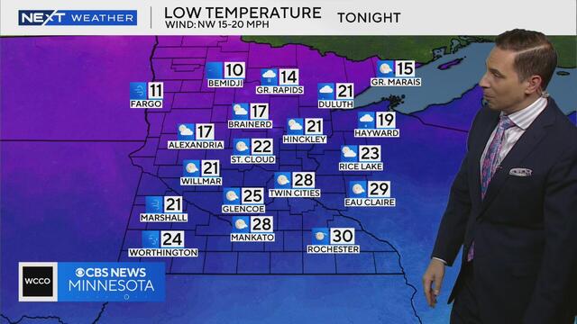
Temperatures will fall to the teens and low 20s across much of Minnesota on Monday night, according to meteorologist Mike Augustyniak.
NEXT Weather meteorologist Adam Del Rosso says snow will continue to melt all weekend

A sleep expert, lawmaker and former dairy farmer in Minnesota agree that the practice of daylight saving time has run its course.

High temperatures in the Twin Cities are expected to be in the 50s on Sunday.
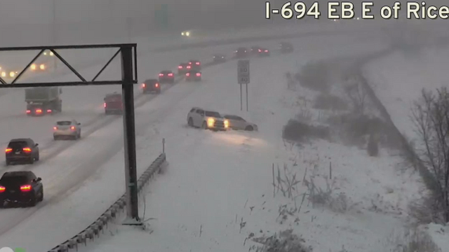
A spring snowstorm that blanketed parts of Minnesota and Wisconsin overnight has caused poor road conditions, leading to crashes and slowdowns across the region.
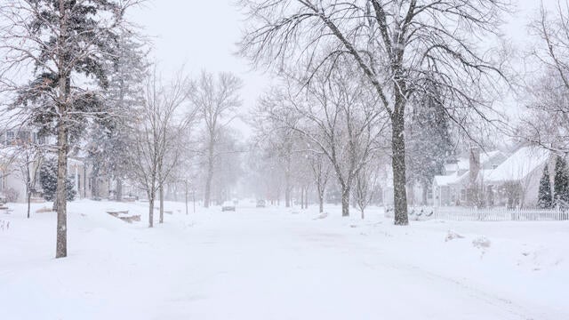
A spring snowstorm is lingering Wednesday morning after already dropping plowable snow on the Twin Cities and other parts of Minnesota overnight.
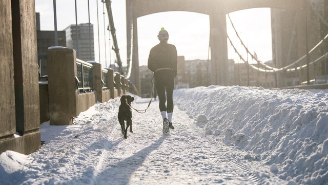
Snow is already piling up Tuesday night as a spring storm could bring up to half a foot of snow to the Twin Cities.
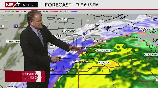
WCCO meteorologist Chris Shaffer says rain will start transitioning to snow soon and will cause dangerous conditions on Minnesota roads.
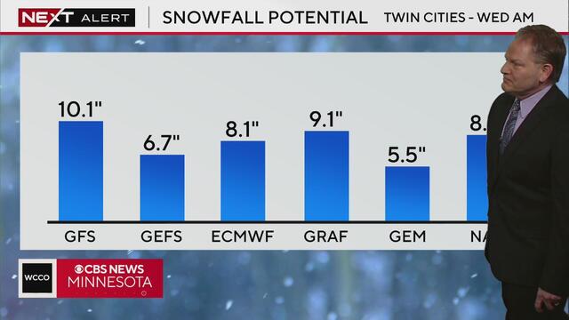
Rainfall in the Twin Cities late Tuesday will turn to plowable snow overnight, says meteorologist Chris Shaffer.
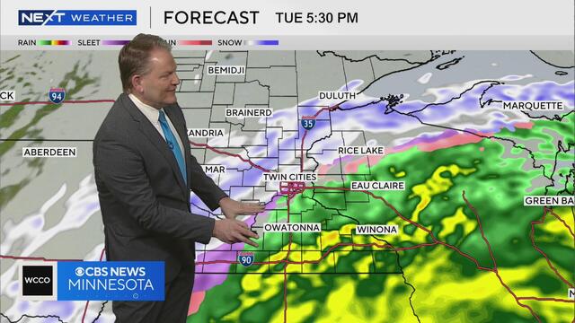
Meteorologist Chris Shaffer says wet, heavy snow may hit the Twin Cities late Tuesday and into early Wednesday.
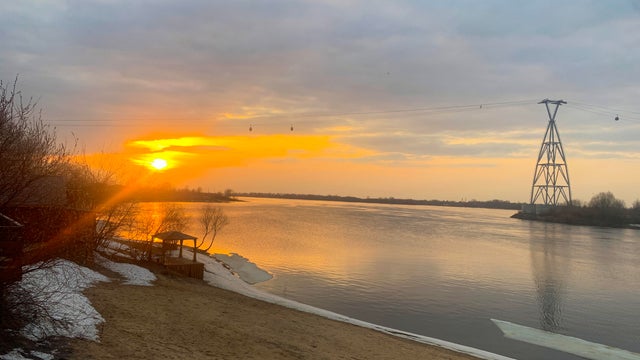
High pressure will keep the sunshine around Sunday, helping highs reach the 40s and the 50s on Monday.

Things will stay mild in the Twin Cities on Wednesday, with highs approaching 50 degrees.
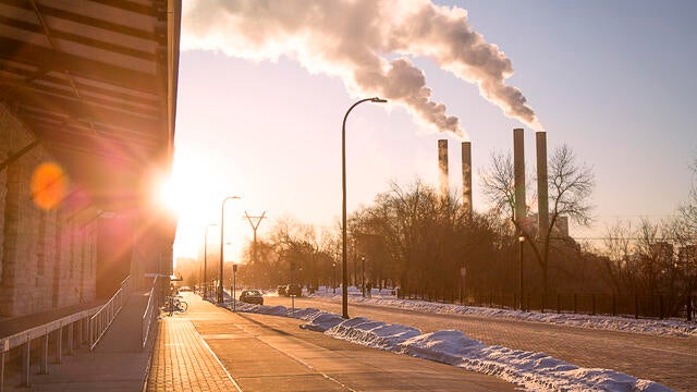
Highs will be slightly cooler but still unseasonably warm on Tuesday in the Twin Cities, with light rain possible later on.

Expect wind gusts up to 30 mph, a cloudy afternoon and a drop of rain here or there, mainly in southwestern Minnesota.
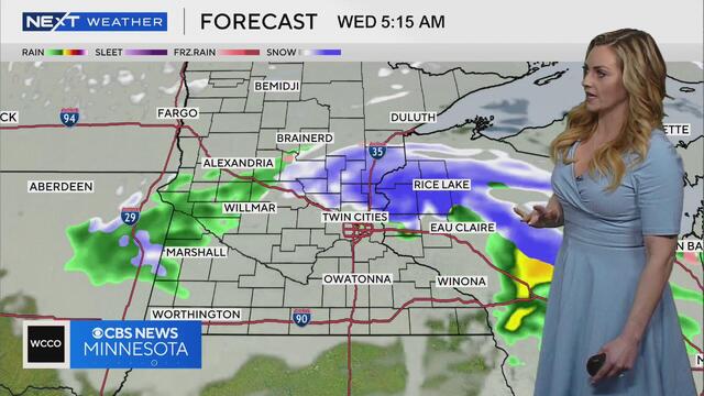
Meteorologist Lisa Meadows says there could be a mix of snow and rain on Tuesday night and into Wednesday morning.

Despite more clouds on Sunday, temperatures will climb even more into the mid-40s and stay there all week.
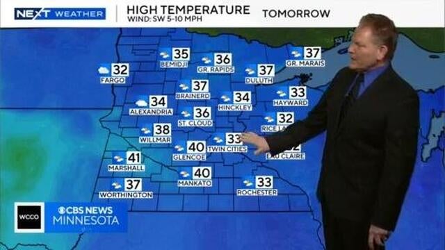
Meteorologist Chris Shaffer says temps in the Twin Cities may reach the low 30s on Saturday.
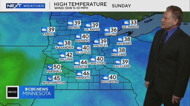
Meteorologist Chris Shaffer says temperatures in the 40s may be possible on Sunday.

Next week's warmup is a sign that spring is around the corner. While many of us are excited about the thaw and the new season, it can come with a risk of flooding.
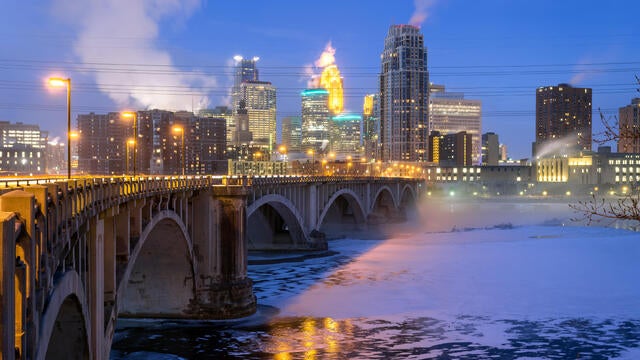
Minnesotans should brace for another cold one on Wednesday, but the warm-up is not far off now.

Dangerous cold continues in the Twin Cities on Tuesday, with highs barely getting above zero.

Dangerous cold has prompted a NEXT Weather Alert on Monday.