Snow lingers Wednesday morning in Twin Cities after overnight barrage
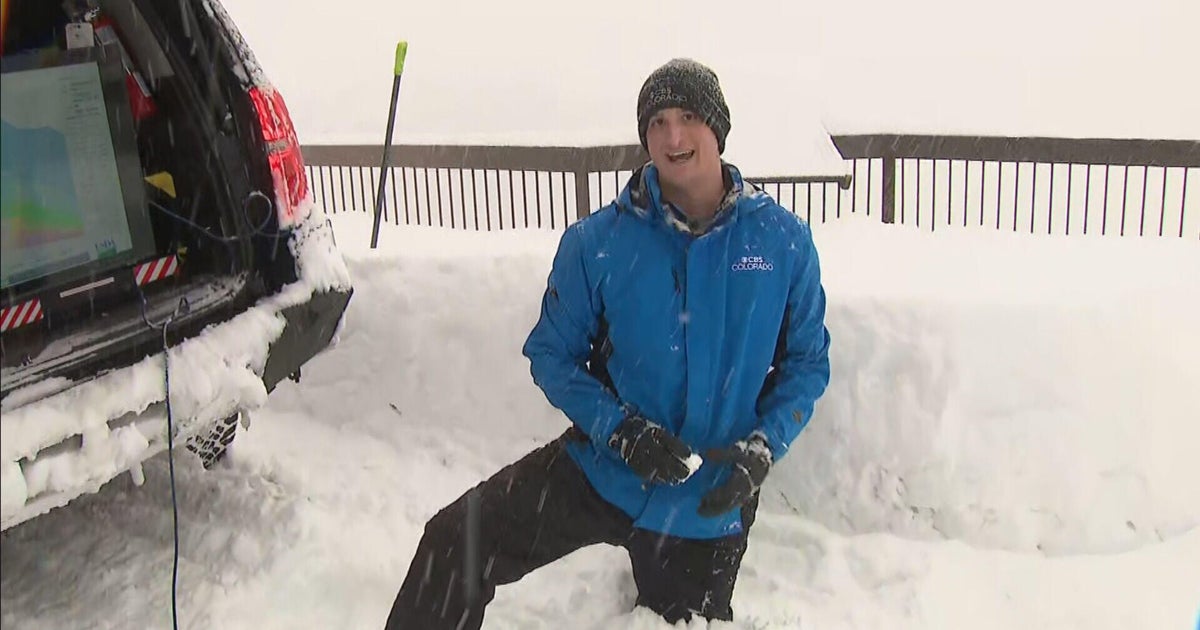
A spring snowstorm is lingering Wednesday morning after already dropping plowable snow on the Twin Cities and other parts of Minnesota overnight.
As of 12 p.m., 9.5 inches had fallen at Minneapolis-St. Paul International Airport, according to the National Weather Service. In Chanhassen, the NWS measured 7.4 inches. Eau Claire, Wisconsin, saw just under 2 inches, and in central Minnesota, St. Cloud saw just over an inch.
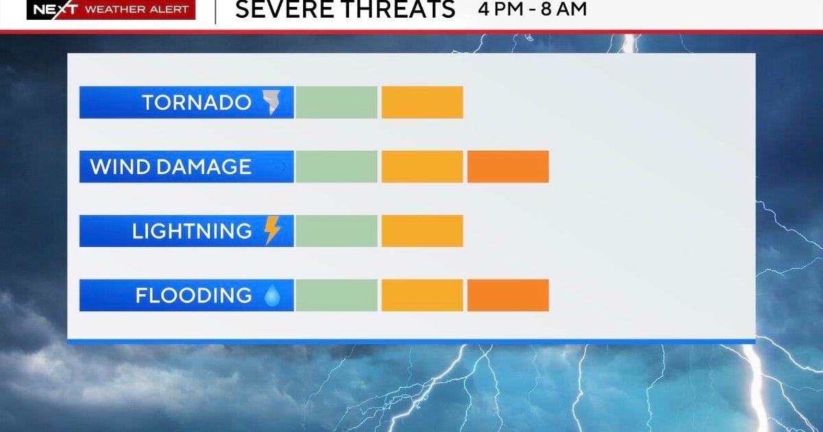
The storm prompted both a NEXT Weather and NEXT Drive Alert, as well as caused hundreds of schools to announce closures or delays. Minneapolis-St. Paul International Airport also saw cancellations and delays.
Thousands of homes and businesses in the Twin Cities were without power Wednesday morning, according to Xcel Energy.
Temperatures won't move much with afternoon highs in the low 30s.
A fresh snowpack, calmer winds and clear skies will allow temps to tumble into the teens on Wednesday night.
The rest of the work week will be quiet with a mix of sun and clouds and seasonable highs in the 30s.
There will be a clipper passing by Friday, but that stays far enough to the south and won't impact the metro.
There will be two additional clippers this weekend, one Saturday and one Sunday, but those stay north of the metro with only a few snow showers across northern Minnesota.
Warming temps will be the bigger story next week with highs back into the 40s under a partly sunny sky.
Early next week remains quiet and turns even warmer with highs into the 50s.


