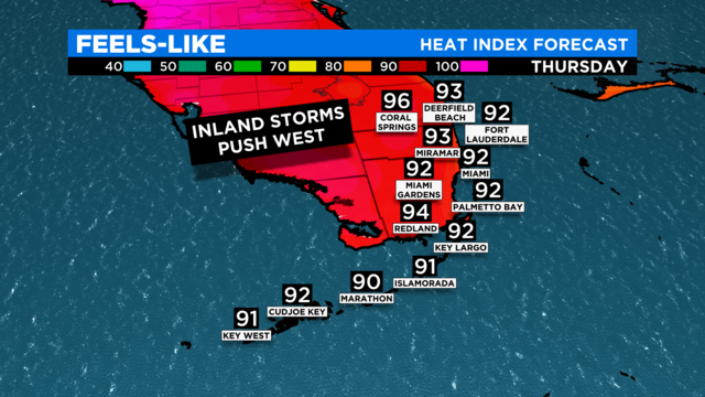
Miami Weather: Saharan dust maintains high temperatures in South Florida
Saharan Dust is slowly departing from South Florida, but it lingers throughout Thursday.
Watch CBS News
Saharan Dust is slowly departing from South Florida, but it lingers throughout Thursday.
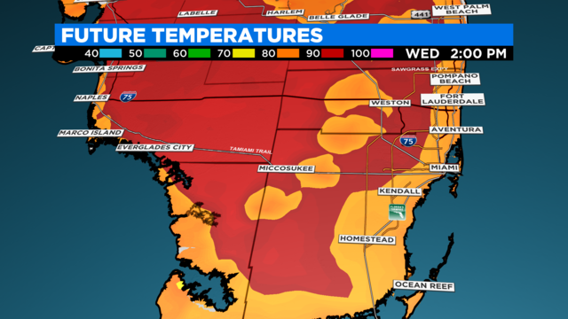
Wednesday is off to a steamy start across South Florida and temperatures are expected to climb into the afternoon.
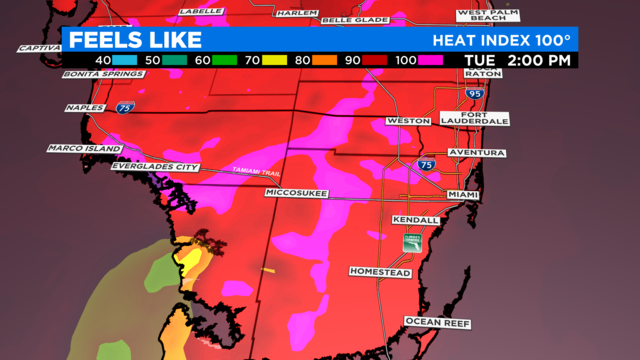
A slight shower and thunderstorm chance will linger through Tuesday morning as the afternoon is expected to be very warm with feel like temperatures near 100 degrees.
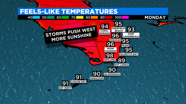
South Florida can expect a hot and mostly dry day Monday as storms remain inland in the afternoon.
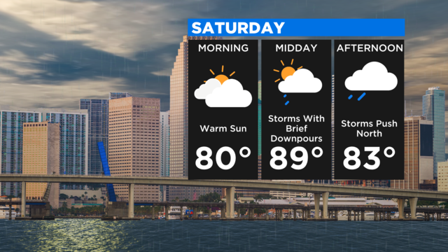
Areas of Broward and Miami-Dade County remain under a Flood Watch through Saturday evening and more storms are expected through the afternoon.
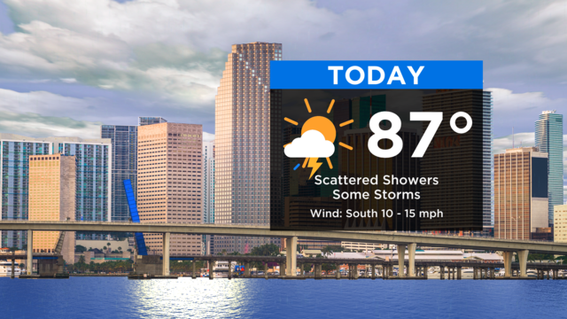
A Flood Watch is in effect through this evening due to the potential for more storms that may produce heavy downpours.
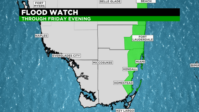
A Flood Watch remains in effect for areas of Broward County and Miami-Dade County through Thursday night.
Areas of Broward and Miami-Dade County remain under a Flood Watch through Wednesday evening as afternoon storms are expected.
A Flood advisory was in effect Tuesday morning for Southern Miami-Dade County due to heavy rain overnight and through the morning hours.

The weather system that soaked South Florida on Friday and Saturday began to move away from our area and into the Atlantic Ocean.
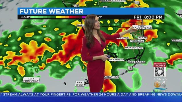
The system bringing rain to our area on Friday morning is expected to become a tropical depression later today and Tropical Storm Alex by this evening or tonight.
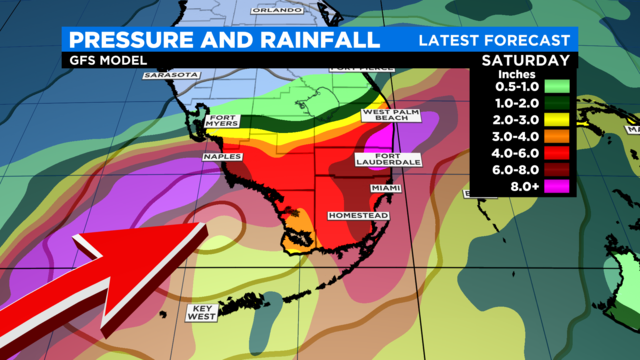
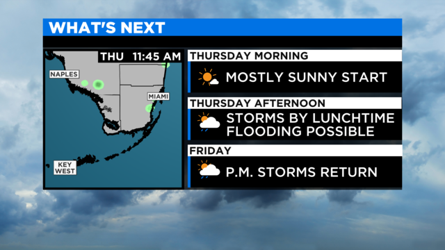
Afternoon storms are in the mix for Thursday across South Florida ahead of a tropical disturbance that's set to drop inches of rain Friday and into Saturday.
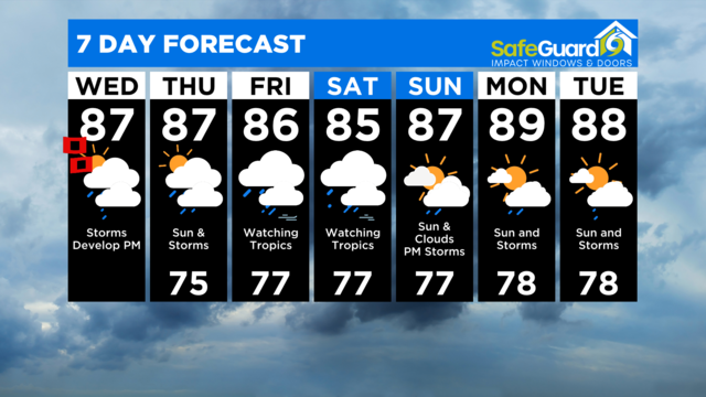
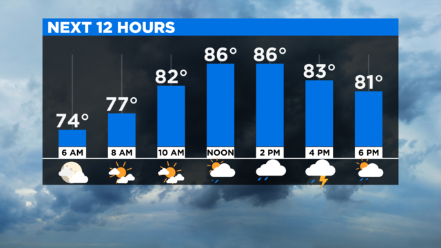
A dry start this Wednesday, but later on showers and storms develop around midday, this afternoon and evening with the potential for some heavy downpours.

Mainly dry Tuesday morning, but late morning and around midday storms will develop.
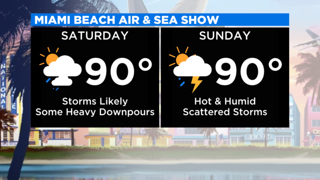
A pleasant start to the Memorial Day Weekend with temperatures staying in the low 80's Saturday morning with a mix of sun and clouds.
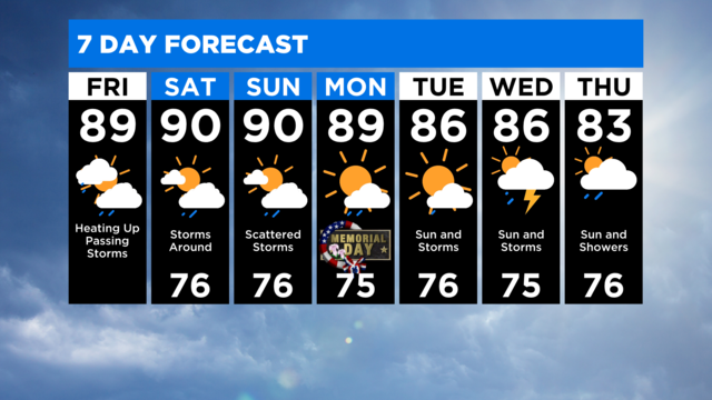
Get ready for a hot, muggy and rainy weekend ahead of the Memorial Day holiday.
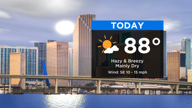
Steamy afternoon ahead with highs in the upper 80s, feels like temperatures in the upper 90s due to high humidity.
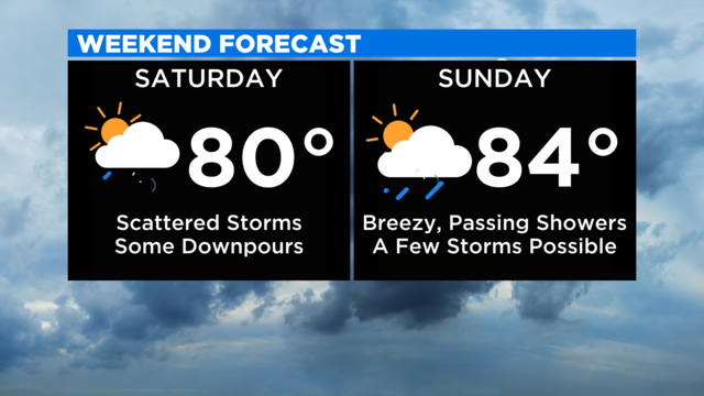
A soggy start this Saturday morning with some heavy downpours leading to flooding in spots.
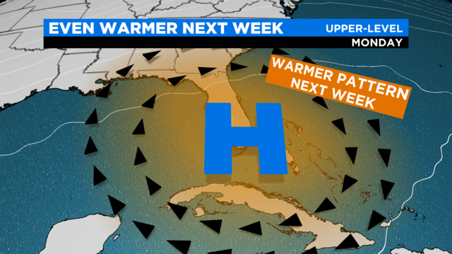
Get ready for an unseasonably warm pattern this week in South Florida.

A cold front will bring colder temperatures to South Florida Sunday night and Monday morning.
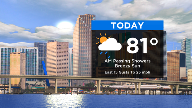
It's a breezy Thursday with a strong ocean flow bringing quick-moving showers onshore.

Wet weather moved across parts of South Florida on Wednesday morning.
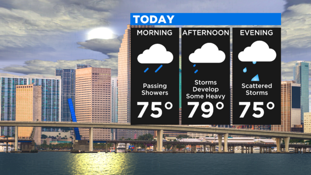
A flash flood warning has been issued for parts of Miami-Dade County.

A pleasant start to the day Wednesday before the moisture returns ahead of our next cold front which will impact the weekend.
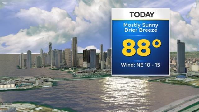
What a difference a week makes! It is finally feeling a little bit more like fall South Florida style as temperatures were slightly cooler Monday morning and the humidity slightly lower courtesy of a cold front that moved in Sunday.