Thick Soup Of Fog Hovers Over Morning Commute
Winter officially begins later Wednesday, but the Chicago area has a thick soup of fog in lieu of the usual snow and bitter winds.
Watch CBS News
Winter officially begins later Wednesday, but the Chicago area has a thick soup of fog in lieu of the usual snow and bitter winds.
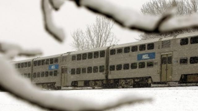
So far, the Chicago area has had only a dusting of snow. But Metra says it is ready to battle another blizzard -- if one occurs.

Chilly sunshine is expected for the rest of the day, but clouds are tracking down to the southeast from Wisconsin and they could bring snow Saturday morning.

We could have had a lot of snow Wednesday, but we had all-day rain showers instead, making what is already the third wettest year in Chicago on record a little wetter still.

The first measurable snowfall of the year might not have seemed like a big deal by Chicago winter standards, but it is being blamed for at least one deadly accident during the morning commute.
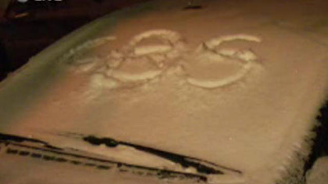
It came two and a half weeks later than average, but on Friday morning the inevitable happened.

Accumulating snow is in the forecast for Thursday night, for the first time so far this season.

Come Friday, if you forget your winter coat, hat and gloves, you'll be sorry.
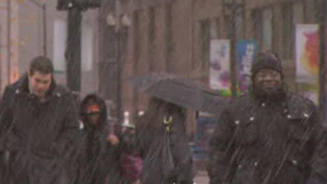
Chicagoans may not want to hear it, lest it jinx the nearly snow-free season we've enjoyed so far, but the National Weather Service says we've gotten off to a late start for the 2011-2012 snow season and that could bode well for the amount of snow we'll see this winter.
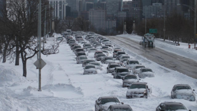
The City of Chicago says it's ready for the worst when it comes to winter weather.
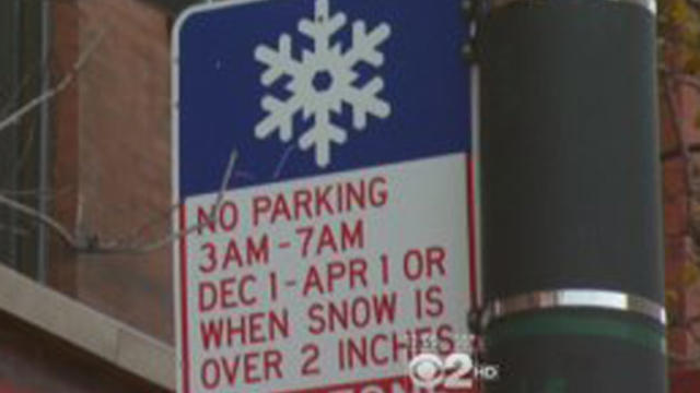
Chicago drivers need to watch where they park their cars tonight: Early tomorrow morning, the city's winter parking plan goes into effect.

Strong winds, rain and possibly snow, are hitting Chicagoland hard on Tuesday, causing high waves along Lake Michigan.
Patches of snow flurries hit the Chicago area on Thursday, while temperatures reached their coldest levels since April.

Not a single flake of snow has fallen in Chicago this fall, even as an early-season snowstorm socked the East Coast and left millions without power late last month.

A long-range forecast says a few months from now, we could be in for one of the snowiest winters in recent memory. And that prediction is for the year after the third heaviest blizzard in Chicago history.

Starting a couple of winters from now, Lake County may enlist University of Illinois supercomputers to figure how best to plow snow bound north suburban roads.
Conditions are sunny and May flowers are in bloom at last, and with bone-chilling rain, overcast skies and even a late-season snowstorm, few in Chicago were likely sorry to see April go.

Not only has Chicago dealt with chilly rain, hail and even snow this week, but temperatures Tuesday were at their lowest for this late spring date since the 1940s.
The calendar says April but the Chicago area could see as much as three inches of snow on the ground by Monday morning.

Given the snow, Ozzie Guillen called the decision to start the season in snowy Cleveland "very stupid." But there won't be any snow there today.

There's no snow in the forecast for Friday's Chicago White Sox season opener in Cleveland, but there's a high of 41 degrees and it should feel like it's in the low 30s. So in other words, it's not ideal baseball weather.
Contrary to the old saying, March seems to be going out like a lion this year.
Technically, it is now spring, but this being Chicago, it should come as no surprise that winter weather will make a return in the coming days.

Heavy rain and thunderstorms overnight might be a sign that spring is near, until it turns to snow about 24 hours later.
Rain, heavy at times, and occasional cloud-to-ground lightning will continue throughout the Chicago area Friday night, possibly turning briefly into snow in Saturday's early morning hours.