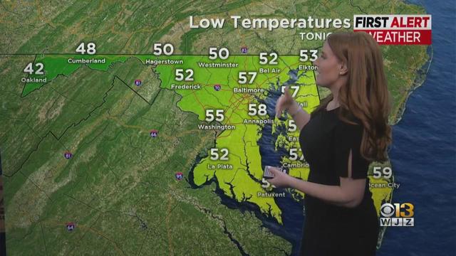
Meg McNamara has your Monday afternoon forecast
Meg McNamara has your Monday afternoon forecast
Watch CBS News
Meg McNamara has your Monday afternoon forecast
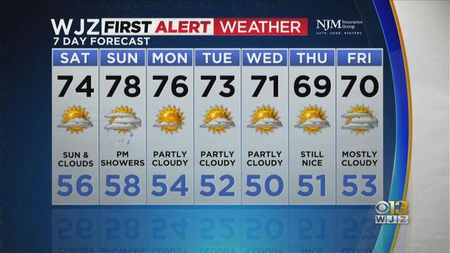
Meteorologist Derek Beasley has your Friday evening forecast
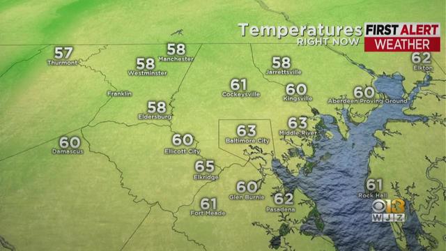
Marty Bass has your WJZ Friday afternoon forecast

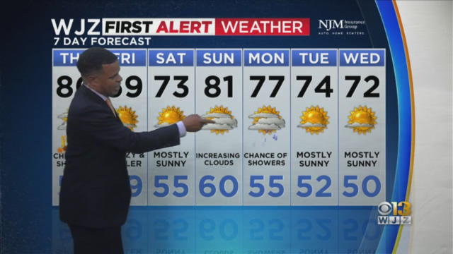
Meteorologist Derek Beasley has your Thursday evening forecast
The day could start out wet and by the end of it, people could wind up drenched.

A cold front will move into the region on Monday and bring with it a threat of strong to severe storms. The main threats will be damaging wind gusts.
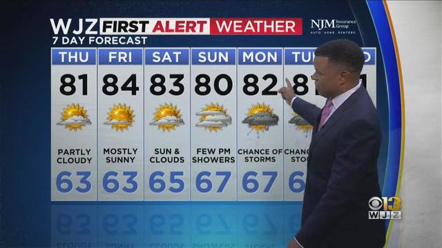
The scattered showers that have peppered the region will end on Wednesday night.
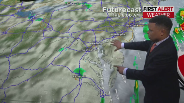
Low pressure coasted over the area Tuesday morning, bringing with it heavy rain. But that will move just offshore on Wednesday.
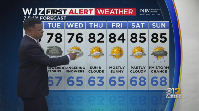
A slow-moving front will drop southward into the region through Tuesday afternoon.
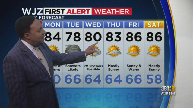
Sunday should be dry for most of the day. But there will be the potential for a late-day storm north and west of Baltimore as a front drops into the region.

The drop in temperatures & humidity will make for a much more comfortable day.
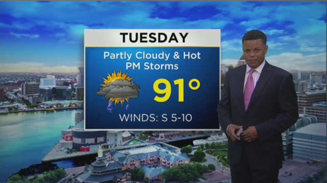
Tuesday will be another hot and humid day.
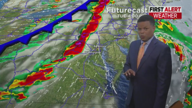
Monday will be hot and humid with temperature highs around 90 degrees. But on Tuesday, storms will move in late in the day ahead of a cold front.
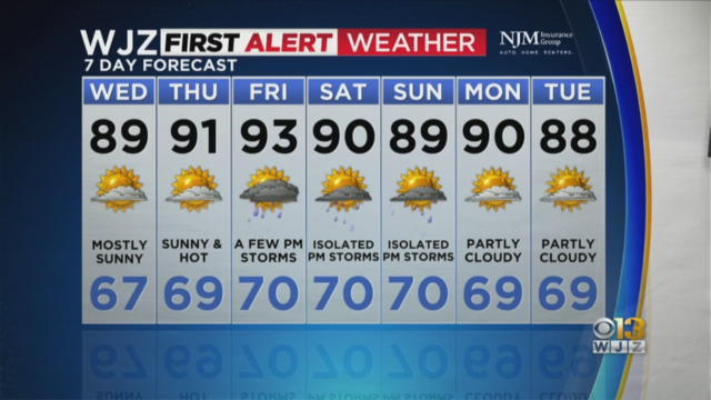
The next few days will be nice with sunny skies during the day and clear skies at night through Thursday night.
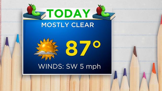
There will be plenty of sunshine with a high near 87.
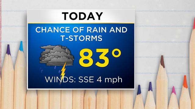
Chances for rain will linger overnight and through Monday as the storm system creating the conditions for rain is still west of the area.
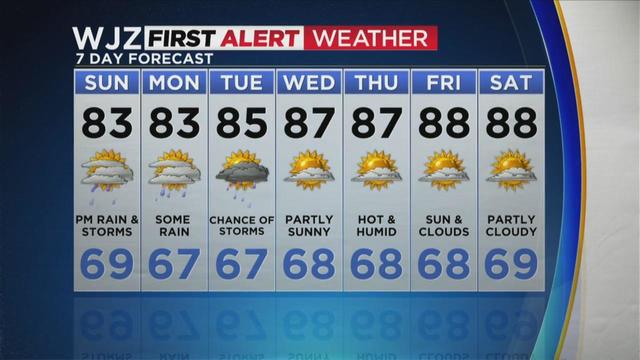
Showers are not expected to move into the area until later Sunday evening. Clouds and cooler temps are expected.

The forecast for the weekend looks better than it did yesterday.
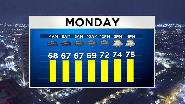
It will remain cloudy with a high near 77.
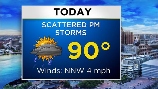
The Baltimore area is getting a dose of sunshine and blue skies Wednesday before things shift and rain arrives later on.
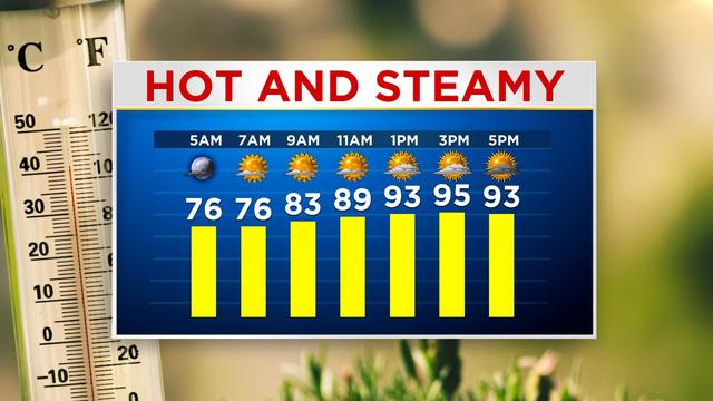
It will be mostly sunny this morning and afternoon, with a high of 95.
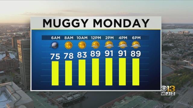
With the humidity, it could feel like the upper-90s this afternoon.
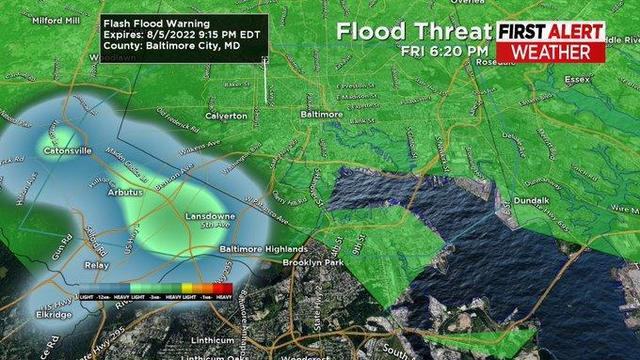
Strong storms battered central Maryland on Thursday, felling trees and cutting power to some. But storms on Friday didn't inflict as much damage.

Staying cool can be done by using some basic supplies and knowing how to manipulate your home to control its temperatures.
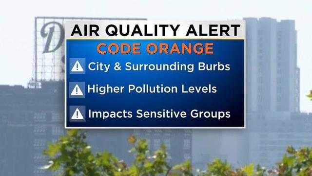
A Code Orange means that air pollution concentrations within the regions may become unhealthy for sensitive groups